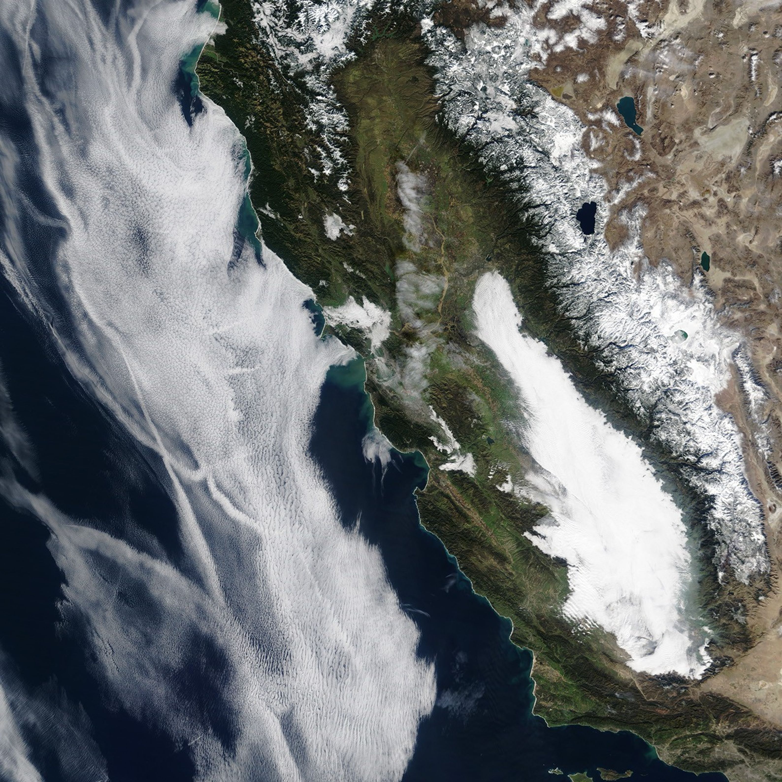
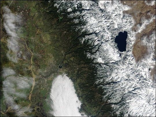
During December 2002 a series of storms dropped large amounts of snowon the northern Sierra Nevada and rain in Northern California’s lowerelevations. This image from the Moderate Resolution Imaging Spectroradiometer(MODIS) instrument aboard NASA’s Terra satellite shows both the snowaround Lake Tahoe (right) and the rain-swollen Sacramento River (left). Up to 15 feet ofsnow fell in some areas of the northern Sierras, with about 11 feet aboveLake Tahoe. Overall, precipitation (snowfall converted to an equivalent amount of rain)in the area was more than 200 mm (8 inches) above normal in December.
The heavy snow may be the result of the current El Niño, which has movedinto a “mature phase” according to the the United State’sClimate Prediction Center. Most of the southern United States are expected to remainwetter than normal throughout the winter, while the northern US will be drier.
For more information, read: Mature El Niño Conditions in Place, NOAA Forecasters Report
References & Resources
Image courtesy MODIS Land Rapid Response Team at NASA GSFC