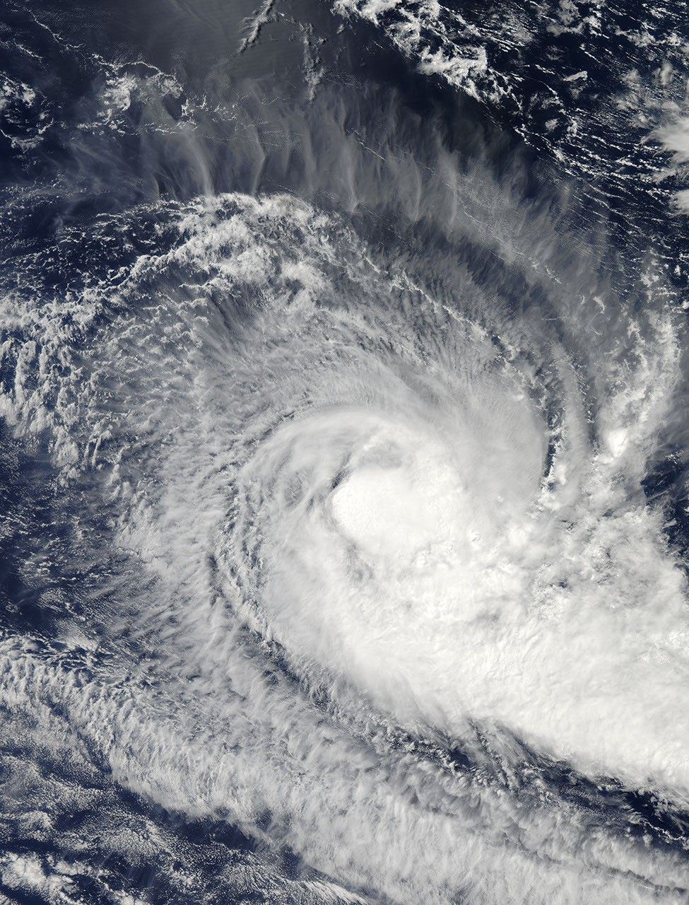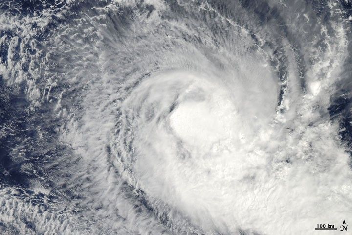
Tropical Cyclone Robyn spanned hundreds of kilometers over the southern Indian Ocean in early April 2010. The Moderate Resolution Imaging Spectroradiometer (MODIS) on NASA’s Aqua satellite captured this natural-color image on April 5, 2010. Although the storm lacks a distinct eye, it has a discernible center. Opaque white clouds cluster at the center of the storm while thinner spiral arms project outward.
On April 5, 2010, the U.S. Navy’s Joint Typhoon Warning Center reported that Tropical Cyclone Robyn had maximum sustained winds of 60 knots (110 kilometers per hour) and gusts up to 75 knots (140 kilometers per hour). The storm was located roughly 370 nautical miles (690 kilometers) southwest of the Cocos (Keeling) Islands. The storm was expected to continue on its southeastward path for another day before turning to the west-southwest and eventually dissipating.
References & Resources
- Joint Typhoon Warning Center. (2010, April 5). Tropical Cyclone 23S (Robyn) Warning. Accessed April 5, 2010.
NASA image by Jeff Schmaltz, MODIS Rapid Response Team at NASA GSFC. Caption by Michon Scott.