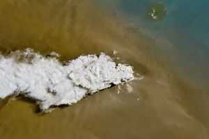
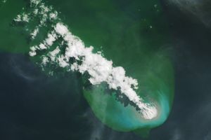
Eyjafjallajökull Volcano has quieted considerably over the past few days, with ash emissions continuing but only rising to a height of 20,000 feet (6,100 meters), according to the Joint Air Force & Army Weather Information Network.
A thin ash plume extends southwards from Eyjafajallajökull in this natural-color satellite image acquired at 12:35 p.m. on April 21, 2010. The image was collected by the Moderate Resolution Imaging Spectroradiometer (MODIS) aboard NASA’s Terra spacecraft. White snow and ice still cover much of the volcano, while the low-lying land to the west, south, and east is snow free. A red box at the eruption site signifies that MODIS detected significant heat, possibly from the lava in the volcano’s caldera. Sediment from the Markarfljót River, swollen from runoff from the melting ice atop Eyjafjallajökull, hugs the Icelandic shoreline.
References & Resources
- Eruptions. (2010, April 21). Eyjafjallajökull Chugs along as Europe Begins to Recover. Accessed April 21, 2010.
- Icelandic Met Office. (2010, April 20). Eyjafjallajökull Eruption Heard and Not Seen.
- Joint Air Force & Army Weather Information Network. (2010, April 21). Volcanic Ash Eruption Final Update: Eyjafjoll. Accessed April 21, 2010.
NASA image by Jeff Schmaltz, MODIS Rapid Response Team. Caption by Robert Simmon.