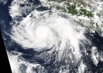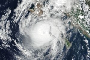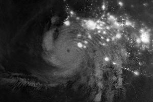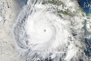








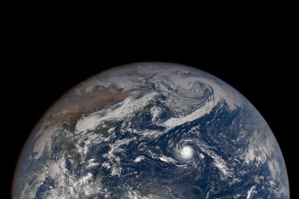




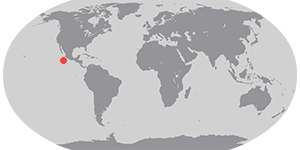

Tropical Cyclone Cristina was churning over the Pacific Ocean off the coast of Mexico and moving west when the Moderate Resolution Imaging Spectroradiometer (MODIS) on NASA’s Aqua satellite acquired this image at 1:05 p.m. local time (20:05 Universal Time) on June 11, 2014. The storm had maximum sustained winds near 130 kilometers (80 miles) per hour, making it the equivalent of a category 1 hurricane. Christina strengthened rapidly overnight, becoming a Category 4 storm with sustained winds of 240 kilometers (150 miles) per hour.
While Cristina is not expected to make landfall, the National Hurricane Center warned of life-threatening surf and riptides along portions of the southwestern coast of Mexico. With Hurricanes Amanda and Cristina both reaching category 4 status, 2014 was the first year that there have been two category 4 hurricanes in June in the eastern North Pacific basin since the beginning of the satellite era in 1966.
Further Reading
- Earth Observatory (2014, June 4) Taking the Temperature of the Hurricane Pool.
References & Resources
- Jeff Masters WonderBlog, via Weather Underground (2014, June 12) Hurricane Cristina Hits Cat 4. Accessed June 12, 2014.
- National Hurricane Center (2014, June 12) Hurricane Cristina Advisory Archive. Accessed June 12, 2014.
- National Hurricane Center (2014, June 11) Hurricane Cristina: Update issued at 2:00 PM PDT. Accessed June 12, 2014.
- National Hurricane Center (2014, June 11) Hurricane Christina. Accessed June 12, 2014.
NASA image courtesy of the LANCE/EOSDIS MODIS Rapid Response Team at NASA GSFC. Caption by Adam Voiland.