![Request for Information – Potential [Placeholder for Prize]](https://assets.science.nasa.gov/dynamicimage/assets/science/missions/a-step/FFR_Earth_Background_20251120%20.png?w=1024)


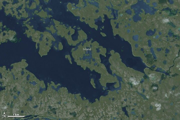
Here’s a winning question for your next trivia night: Where is the world’s largest island-in-a-lake-on-an-island-in-a-lake-on-an-island? According to stories published here and here, the distinction currently goes to a nameless isle within Victoria Island in Canada’s Nunavut Territory.
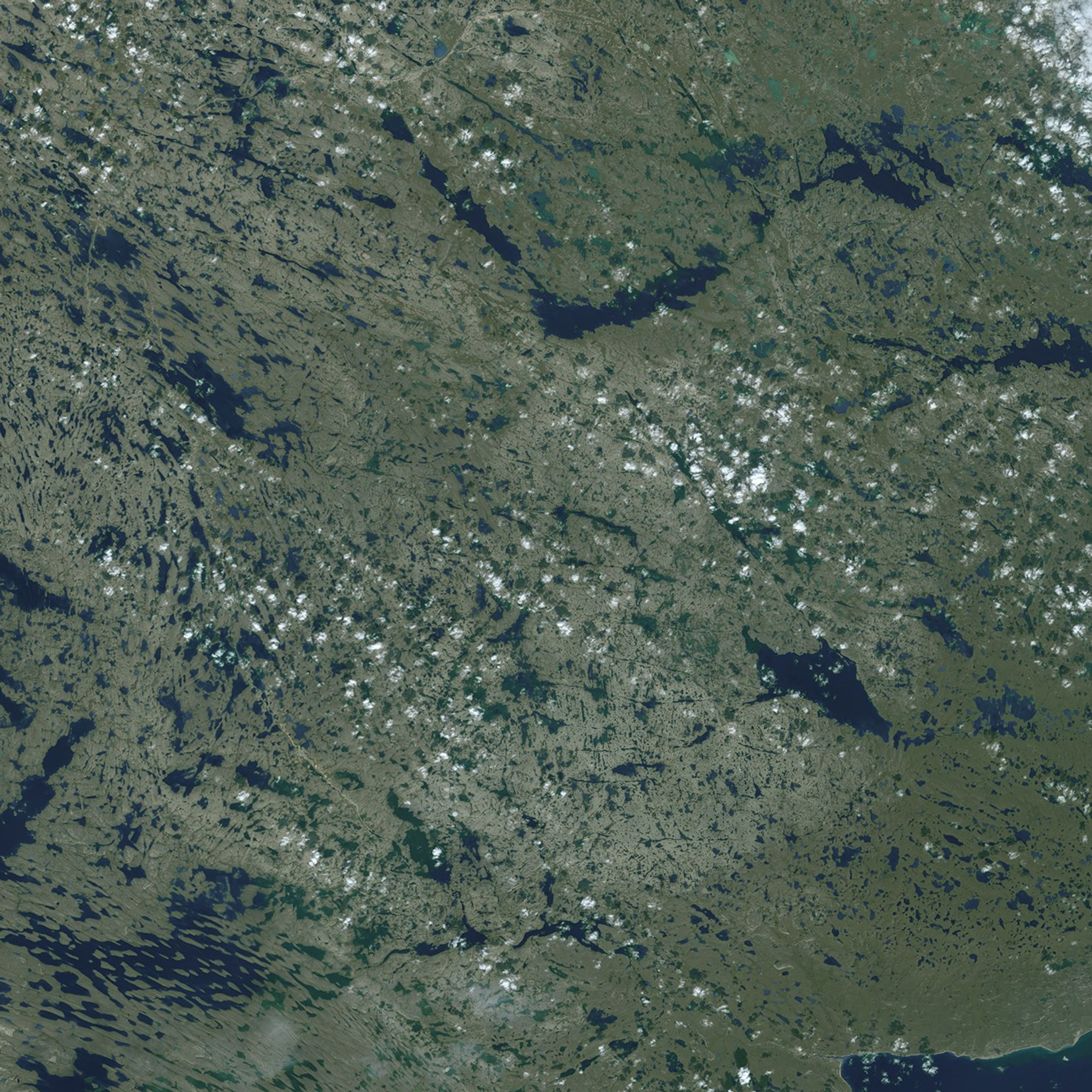
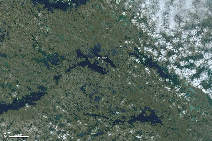
On August 21, 2014, the Operational Land Imager (OLI) on Landsat 8 captured this natural-color view of the “sub-sub-sub-island.” The top image shows a close-up view of the unnamed island, while the bottom image shows a wider view of Victoria Island’s lake-littered landscape.
The sequence unfolds as follows, from small to large. At the center of it all is a seahorse-shaped island measuring just over 300 meters (1,000 feet) from west to east. The island sits within a small lake, also unnamed, that makes up a sizeable portion of its home island. That island, in turn, is nestled within a long finger-like lake located about 90 kilometers (60 miles) inland from the southern coast of Victoria Island.
As the Condé Nast story notes, there is plenty of potential for a yet-undiscovered island that rivals the island pictured above. Victoria Island—the eighth-largest island in the world—is just one of about 36,000 islands in the Canadian Arctic Archipelago. And in Nunavut Territory alone, those islands are littered with millions of lakes, ponds, and streams that took shape after the last Ice Age.
References and Related Reading
- Condé Nast Traveler (2012, January 24) Ken Jennings Finds One More Thing Canada Has That No One Else Does. Accessed February 20, 2015.
- Livescience (2012, January 24) World’s Largest Island-in-a-lake-on-an-island-in-a-lake-on-an-island Seen in Google Earth. Accessed February 20, 2015.
- NASA Earth Observatory (2012, July 13) Canadian Land of Lakes.
NASA Earth Observatory image by Josh Stevens, using Landsat data from the U.S. Geological Survey. Caption by Kathryn Hansen.