
















Suggested Searches

1 min read

Tropical Cyclone Kesiny

Instruments:
2024-05-06 12:00:00
May 6, 2002

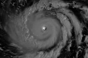
Tropical Cyclone Kesiny can be seen over the Indian Ocean in this true color image taken on May 6, 2002, at 6:45 UTC by the Moderate-resolution Imaging Spectroradiometer (MODIS), flying aboard NASA’s Terra spacecraft. When this image was taken, the cyclone was several hundred miles east of northern Madagascar and packing winds of up to 120 kilometers (75 miles) per hour. As the cyclone continues its approach southwest into Madagascar, it is forecast to increase in intensity and generate sustained winds of up to 139 kilometers (86 miles) per hour.

References & Resources

Image courtesy Jacques Descloitres, MODIS Land Rapid Response Team at NASA GSFC

You may also be interested in:

Stay up-to-date with the latest content from NASA as we explore the universe and discover more about our home planet.

Lala Batters Hawaii
3 min read

The powerful storm delivered extreme rainfall and damaging winds to the state, passing the Island of Hawaiʻi as a category…

Article
Sizing Up the Sargassum Belt
6 min read

Seaweed composing the Great Atlantic Sargassum Belt hit near-record levels in June 2026, with the Caribbean Sea and Gulf of…

Article
Super Typhoon Bavi
3 min read

The third category 5 tropical cyclone of 2026 crossed the U.S. Northern Mariana Islands and Guam before continuing toward Asia.

Article