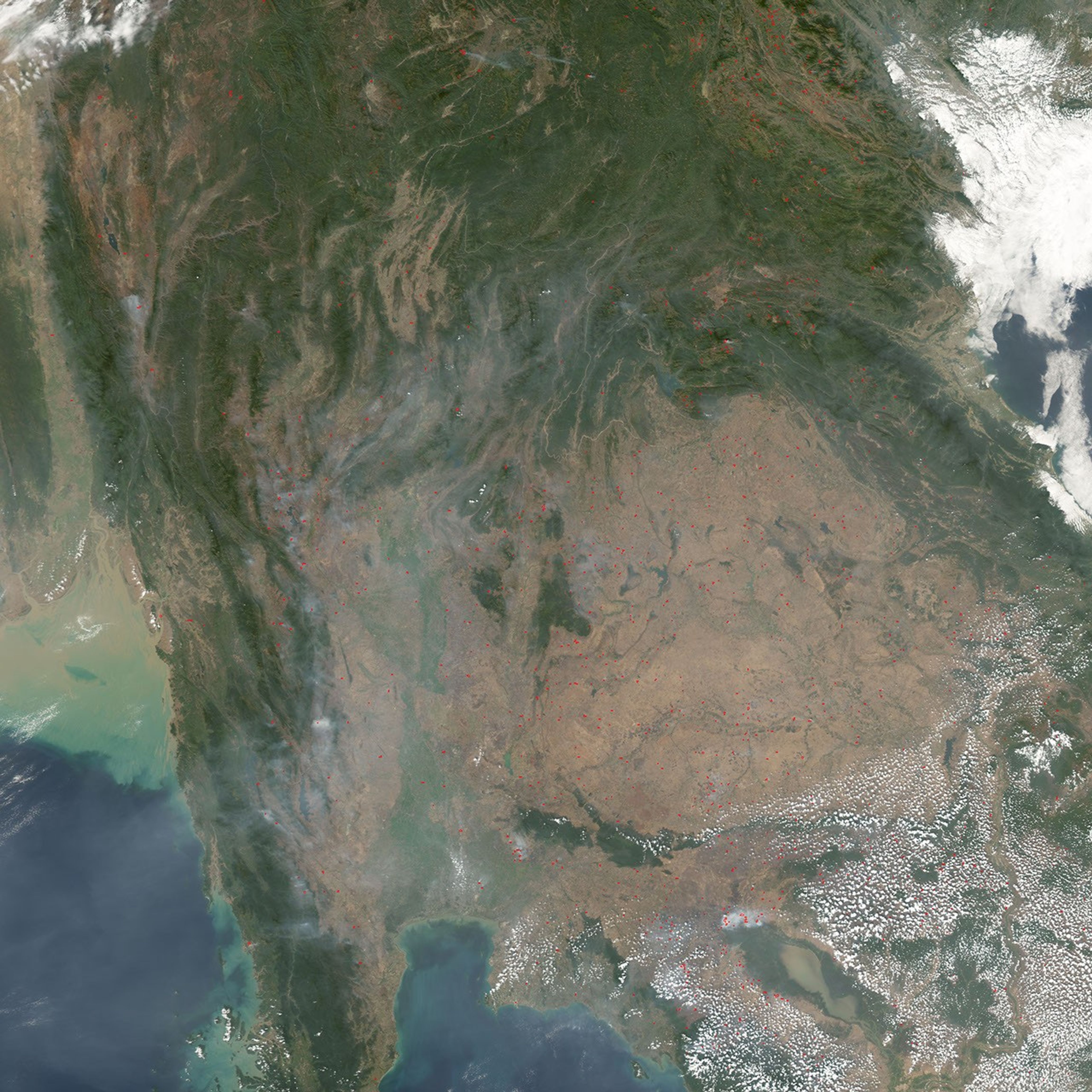
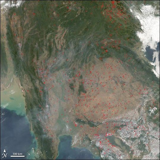
On January 29, 2005, the Moderate Resolution Imaging Spectroradiometer (MODIS) on NASA’s Aqua satellite captured this image of Southeast Asia, showing scores of seasonal fires (marked in red) and smoke, which is particularly thick in the lower left quadrant of the scene. The widespread nature of the fires, their location (generally located away from remaining natural vegetation, which appears deeper green), and the time of year suggest that these fires are being set intentionally for agricultural purposes. Though not necessarily immediately hazardous, such large-scale burning can have a strong impact on weather, climate, human health, and natural resources.
References & Resources
NASA image created by Jesse Allen, Earth Observatory, using data obtained from the MODIS Rapid Response team.