


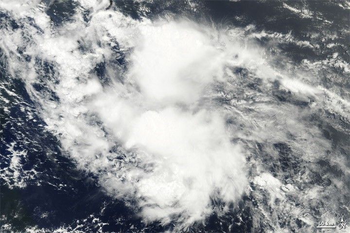
Tropical Storm Colin became the third named storm of the 2010 Atlantic hurricane season. The U.S. National Hurricane Center (NHC) reported that Tropical Depression Four strengthened into a tropical storm early in the day on August 3, 2010. As of 11:00 a.m. EDT on August 3, Colin was located about 840 miles (1,355 kilometers) east-southeast of the Leeward Islands. Colin had maximum sustained winds of 40 miles (65 kilometers) per hour.
The Moderate Resolution Imaging Spectroradiometer (MODIS) on NASA’s Terra satellite captured this natural-color image of Tropical Storm Colin at 9:40 a.m. EDT (13:40 UTC) on August 3. Although the storm hints at the comma shape characteristic of tropical storms, it lacks a distinct eye.
References & Resources
- National Hurricane Center. (2010, August 3). Tropical Storm Colin Advisory Archive. Accessed August 3, 2010.
NASA image courtesy MODIS Rapid Response Team at NASA GSFC. Caption by Michon Scott.


