


















Ice-sheet and Sea-level System Model
ISSM
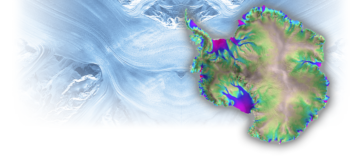
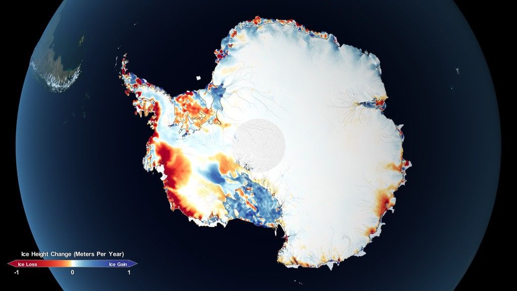
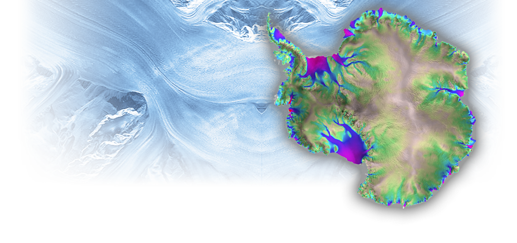
Welcome to the Ice-sheet and Sea-level System Model (ISSM) website (formerly, Ice Sheet System Model). ISSM is the result of a collaboration between the Jet Propulsion Laboratory, Dartmouth College, and University of California at Irvine. Its purpose is to tackle the challenge of modeling the evolution of the polar ice caps in Greenland and Antarctica.
ISSM is open source and is funded by the NASA Cryosphere, IceBridge Research and MAP (Modeling Analysis and Prediction) programs, JPL R&TD (Research, Technology and Development) and the National Science Foundation.
Large scale ice flow models are necessary that can accurately model the evolution of Greenland and Antarctica in a warming climate. In order to achieve this goal, and improve projections of future sea level rise, ISSM relies on state of the art technologies. These include:
- Finite Element Modeling, which allows for the use of unstructured meshes to reach high resolutions in areas where ice flow dynamics is critical.
- Higher-order ice dynamics: instead of relying on the Shallow Ice Approximation (SIA), ISSM includes a suite of model of increasing complexity, including Full-Stokes.
- Parallel technologies, using state of the art clusters such as the NASA Advanced Supercomputing Pleiades cluster. This allows ISSM to run bigger models, with a faster turn around.
- Anisotropic mesh refinement, which allows ISSM to zoom in on areas of interest, while saving computational resources by using coarse meshes where ice flow is stagnant.
- Data assimilation using inverse methods to infer unknown parameters from observations, using either variational data assimilation or using automatic differentiation.
- Sensitivity analysis tools, based on the Dakota toolkit from Sandia National Laboratories. This suite of tools allows ISSM to constrain projections of future sea level rise, and to assess the reliability of such projections.
Capability Support
| Capability | Support | Contacts |
|---|---|---|
| MATLAB Interface | Production (fully Supported) | ISSM team |
| Python Interface | Production (fully Supported) | Quinn |
| Mesh generation | Production (fully Supported) | Morlighem |
| Stress balance | Production (fully Supported) | ISSM team |
| Thermal | Production (fully Supported) | Seroussi, Morlighem |
| Transient | Production (fully Supported) | ISSM team |
| Grounding line (hydrostatic) | Production (fully Supported) | ISSM team |
| Mass transport | Production (fully Supported) | ISSM team |
| Static inversions (friction, B) | Production (fully Supported) | ISSM team |
| UQ (dakota) | Production (fully Supported) | Schlegel |
| Balance velocities | Development (not fully supported) | Morlighem |
| Calving | Development (not fully supported) | Morlighem |
| Damage | Development (not fully supported) | Larour |
| MITgcm coupling | Development (not fully supported) | Seroussi |
| Automatic Differentiation | Development (not fully supported) | Morlighem |
| Hydrology GlaDS | Development (not fully supported) | Ehrenfeucht |
| Hydrology SHAKTI | Development (not fully supported) | Sommers |
| Stochastic forcings | Development (not fully supported) | Verjans |
| Grounding line (FS, contact) | Experimental (not supported) | Seroussi |
| Mass conservation | Experimental (not supported) | Morlighem |
| Adaptive Mesh Refinement | Experimental (not supported) | dos Santos |
| Rifts | Experimental (not supported) | Larour |
| GIA | Experimental (not supported) | Caron |
| Crustal displacement | Experimental (not supported) | Adhikari, Caron |
| Sea level | Experimental (not supported) | Larour, Adhikari, Caron |
| Grounding zone | Experimental (not supported) | Poinelli |
Contact Us
Contact us on our GitHub page.
Projects
-
Virtual Earth System Laboratory
VESL is a collection of web-based visualizations and simulations focused on glaciers, ice sheets, sea level, and solid earth. Each application is either based on past runs of ISSM or allows the user to run ISSM in real-time.
-
Gulf of Mexico Project
National Academy of Sciences (NAS) Gulf Research Program funded project to probabilistically project the evolution of sea level change along gulf coastlines @ 2100.
CL#26-2815