NISAR News & Updates
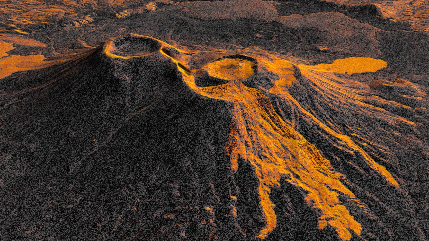
Like tendrils on a vine, lava spreads out from the northern crater of Krasheninnikov, a volcano pair on the Pacific coast of Russia’s Kamchatka Peninsula. On July 30, 2025, an 8.8-magnitude earthquake had struck in the nearby ocean, apparently jolting…

Description Data from the Earth-orbiting U.S.-India NISAR (NASA-ISRO Synthetic Aperture Radar) satellite’s L-band radar was used to produce an image of Nunatak Zaterjavshijsja — a mountaintop in East Antarctica — poking out amid a stream of ice flowing northeast to…

As of July 20, the public can access data from the two powerful radar instruments aboard the NISAR (NASA-ISRO Synthetic Aperture Radar) satellite. Teams in the United States and India will release files processed from the satellite’s L-band and S-band…
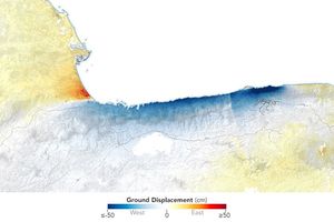
Radar data from the NISAR satellite show that La Guaira and nearby areas experienced significant ground displacement from the June 2026 temblors.

Data from a NASA campaign in Panama and Peru will help communities prepare for tropical floods in cloud-covered areas, improve scientific understanding of forest health, and support planning for spaceborne missions. NASA’s C-20A aircraft from Armstrong Flight Research Center in…
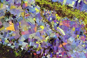
Radar data from an agricultural area in South Africa, shown in a vivid color palette, reveal crop types and how they changed during the Southern Hemisphere's growing season.

NASA’s C-20A aircraft completed a series of flights on April 29 over Central California to contribute new data to improve the accuracy of the region’s earthquake models and support NISAR (NASA-ISRO Synthetic Aperture Radar), the U.S.-India satellite mission launched last…

On or about May 5, 2026 A.3 NASA ISRO Synthetic Aperture Radar Mission Data, Applications, Research, and Technology Team (NISAR DART) was corrected regarding the requirements for application projects. Section 8.3.1 Step-2 Proposal Requirements has been corrected to specify that…
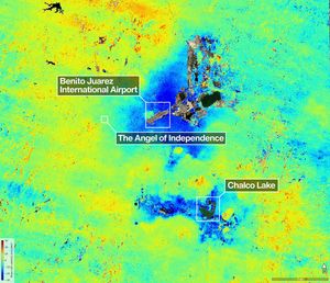
Description A scientist produced this map of land subsidence (sinking) in Mexico City using data from the NISAR (NASA-ISRO Synthetic Aperture Radar) mission captured between Oct. 25, 2025, and Jan. 17, 2026. The region has been a well-known hot spot…

One of the most powerful radar systems ever launched into space has mapped the ground moving beneath one of fastest subsiding capitals in the world: Mexico City. The findings show how quickly and reliably the NISAR (NASA-ISRO Synthetic Aperture Radar)…