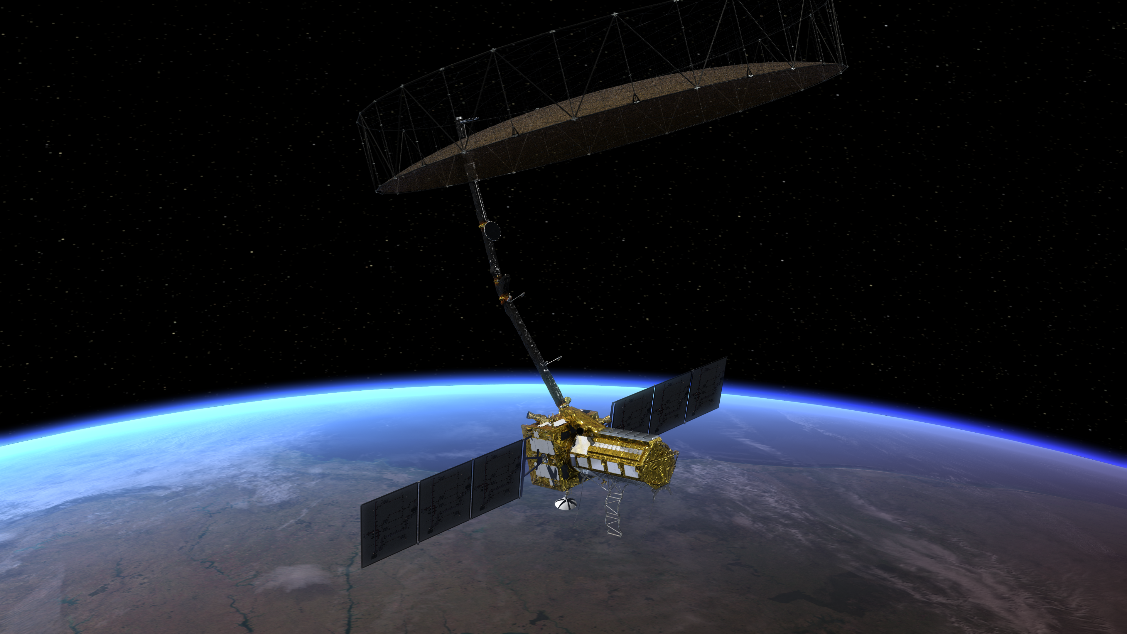
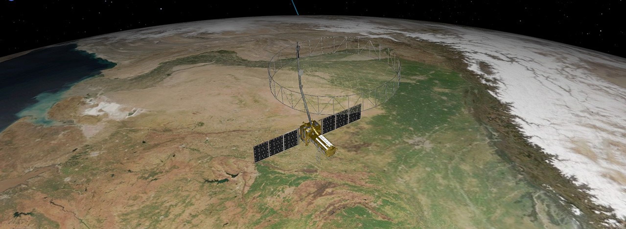
NISAR
NISAR (NASA-ISRO Synthetic Aperture Radar)
Active Mission

- Mission Partners
NASA, ISRO - Instruments
L-band SAR (24 cm wavelength) and S-band SAR (9.4 cm wavelength) - Instrument Type
Synthetic Aperture Radar (SAR) - Mission Phase
Commissioning phase - Data Availability
NISAR data is being archived by the Alaska Satellite Facility (ASF) DAAC and is openly available to the public.
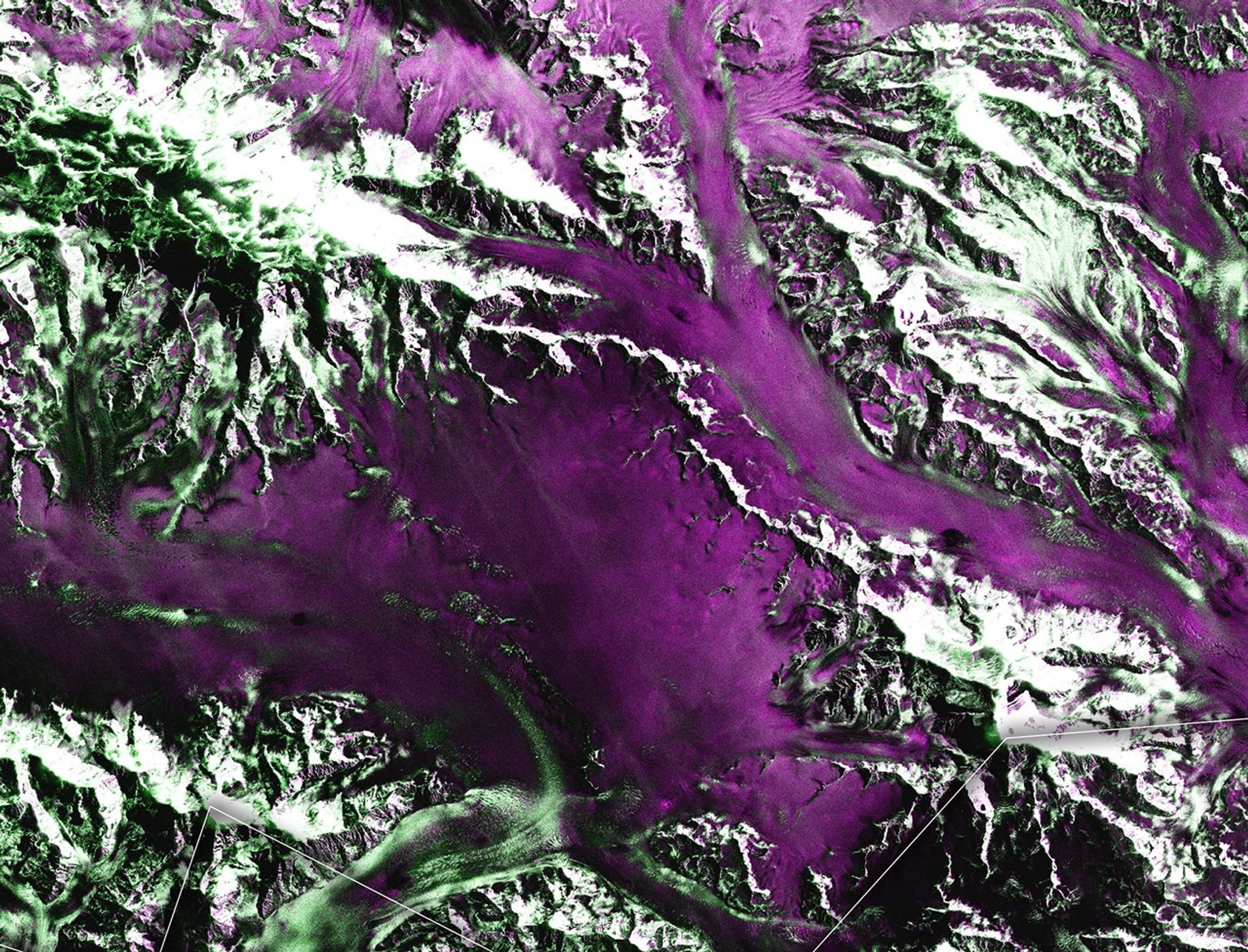
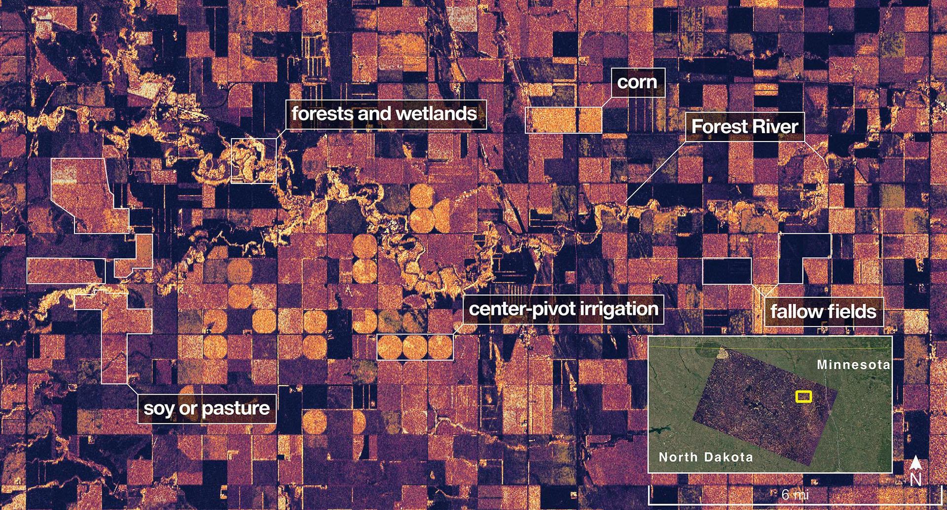
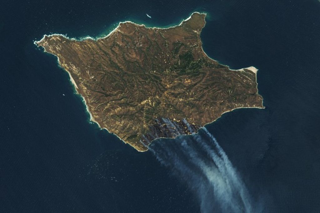
 A small collection of sample data generated from NISAR acquisitions is already available to explore, with more to come soon.
Mission Overview
An Unprecedented View of Earth
NISAR's data can help people worldwide better manage natural resources and hazards, as well as providing information for scientists to better understand the effects and pace of climate change. It will also add to our understanding of our planet's hard outer layer, called its crust.
Learn MoreNews/Mission Updates
science Behind the Mission
The Magic of SAR
NISAR will be the first radar of its kind in space to systematically map Earth, using two different radar frequencies (L-band and S-band) to measure changes of our planet’s surface, including movements as small as centimeter. Synthetic aperture radar (SAR) refers to a technique for producing fine-resolution images from a resolution-limited radar system.
Get to Know SARNISAR Multimedia
21 Images
36 Videos

An overview of UAVSAR's flight paths, and the NISAR simulated data that can be accessed in the database
NASA/JPL-Caltech


