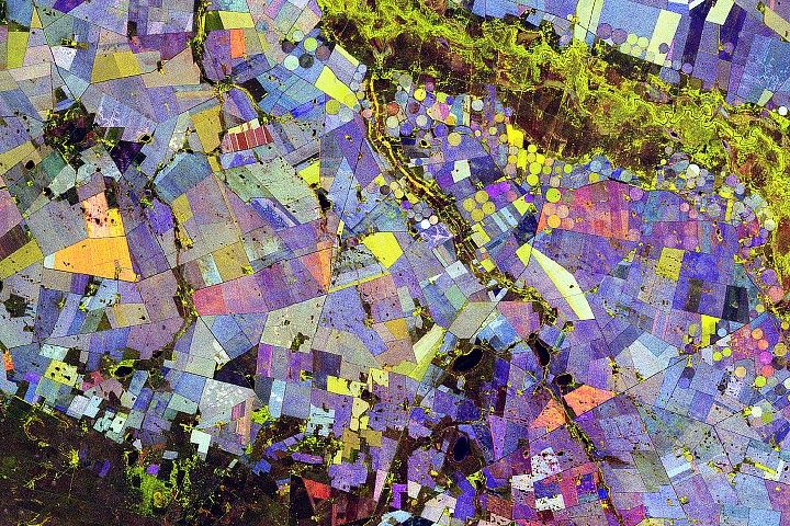
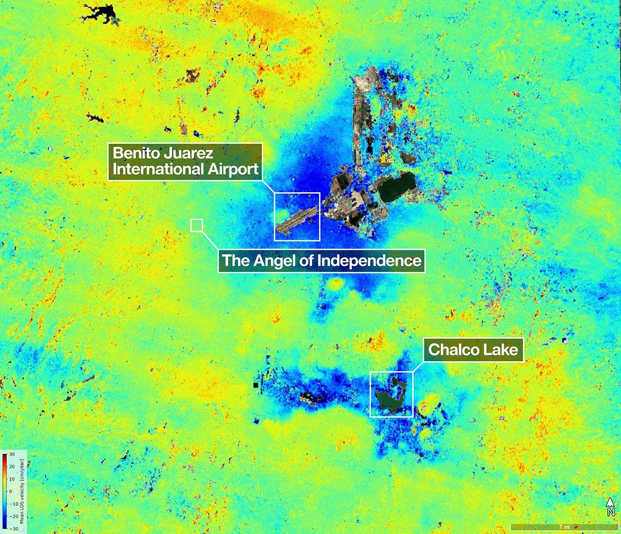
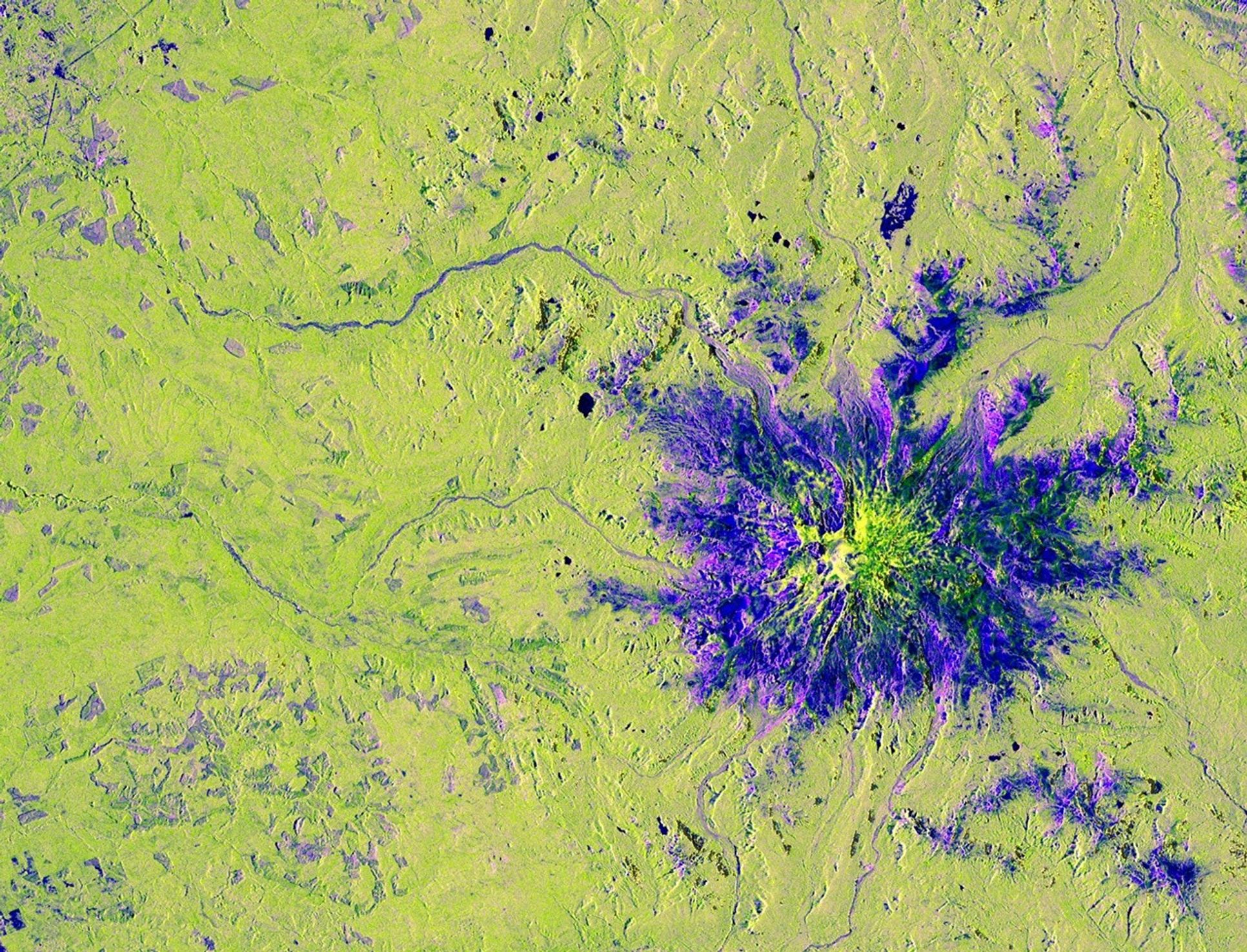
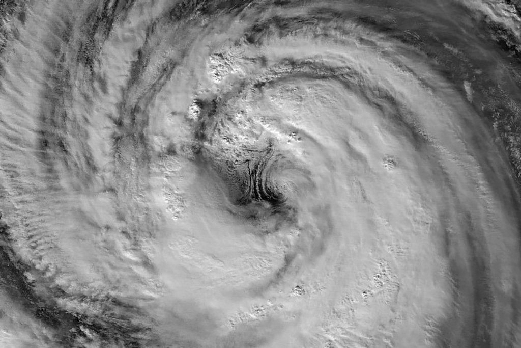
Due to the lapse in federal government funding, NASA is not updating this website.

Suggested Searches

Sample Data

NISAR Sample Data Product Suite

The table below provides a list of all the planned NISAR data products, a short description, a link to where you can download them, and a link to the product specification for each product.

The Algorithmic Theoretical Basis Document (ATBD) describing the detailed algorithms used to create these products can be found here for Levels 1 and 2 and here for Level 3 Soil Moisture.

The Alaska Satellite Facility has developed tutorial that explains how to work with the data, and how it can be used in GIS systems. View the tutorial here.

Updated: September 12, 2024

ProductProduct DescriptionProduct 1Product 2Product Specifications
DEMDigital Elevation Model[DEM vrt][DEM tiff]
L1 RSLCLevel 1 Focused SAR image in range-doppler coordinates (zero-doppler steered)[Date 1 h5]
[Date 1 png]
[Date 1 kml]
[Date 1 STATS h5]
[Date 1 csv]
[Date 1 pdf]
[Date 2 h5]
[Date 2 png]
[Date 2 kml]
[Date 2 STATS h5]
[Date 2 csv]
[Date 2 pdf]
see specifications
L1 RIFGLevel 1 phase-wrapped interferogram in range-doppler coordinates (zero-doppler steered)[Date 1 h5]
[Date 1 png]
[Date 1 kml]
[Date 1 STATS h5]
[Date 1 csv]
[Date 1 pdf]
see specifications
L1 RUNWLevel 1 phase-unwrapped interferogram in range-doppler coordinates (zero-doppler steered)[Date 1 h5]
[Date 1 png]
[Date 1 kml]
[Date 1 STATS h5]
[Date 1 csv]
[Date 1 pdf]
see specifications
L1 GSLCLevel 2 Focused SAR image in geocoded coordinates[Date 1 h5]
[Date 1 png]
[Date 1 kml]
[Date 1 STATS h5]
[Date 1 csv]
[Date 1 pdf]
[Date 2 h5]
[Date 2 png]
[Date 2 kml]
[Date 2 STATS h5]
[Date 2 csv]
[Date 2 pdf]
see specifications
L2 GUNWLevel 2 phase-unwrapped interferogram in geocoded coordinates[Date 1 h5]
[Date 1 png]
[Date 1 kml]
[Date 1 STATS h5]
[Date 1 csv]
[Date 1 pdf]
see specifications
L2 GOFFLevel 2 pixel offsets in geocoded coordinates[Date 1 h5]
[Date 1 png]
[Date 1 kml]
[Date 1 STATS h5]
[Date 1 csv]
[Date 1 pdf]
see specifications
L2 GCOVLevel 2 SAR covariance product in geocoded coordinates[Date 1 h5]
[Date 1 png]
[Date 1 kml]
[Date 1 STATS h5]
[Date 1 csv]
[Date 1 pdf]
[Date 2 h5]
[Date 2 png]
[Date 2 kml]
[Date 2 STATS h5]
[Date 2 csv]
[Date 2 pdf]
see specifications
L3 SMLevel 3 Global Soil Moisture Product[Date 1 h5]
[Date 1 STATS h5]
see specifications

Share

Details

Last Updated
Jul 22, 2025
Keep Exploring

Discover More Topics From NASA