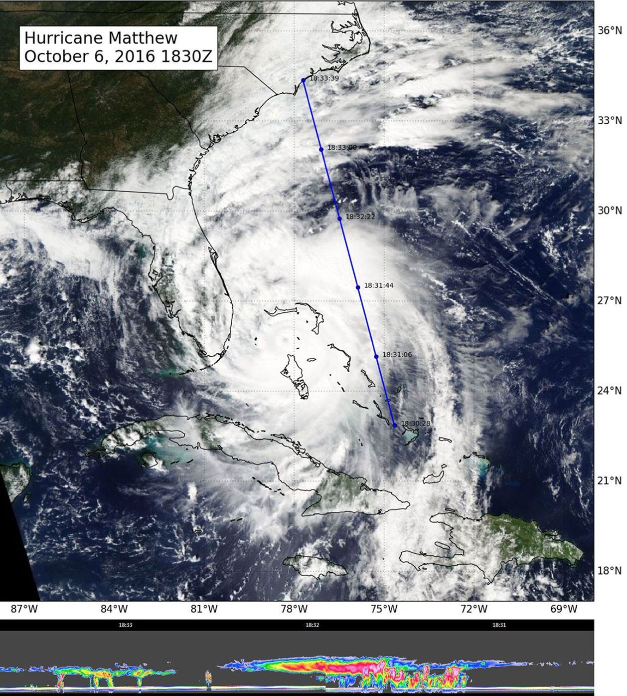
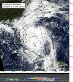
Suggested Searches

1 Min Read

CloudSat Takes a 3D Slice of Hurricane Matthew

NASA's CloudSat flew east of Hurricane Matthew's center on Oct. 6 at 11:30 a.m. PDT (2:30 p.m. EDT), intersecting parts of Matthew's outer rain bands and revealing Matthew's anvil clouds.
PIA21095
Credits: NASA/JPL/The Cooperative Institute for Research in the Atmosphere (CIRA), Colorado State University
Image Addition Date:
Target:
Is a satellite of:
Mission(s):
Spacecraft(s):
Instrument(s):

Description

NASA's CloudSat flew east of Hurricane Matthew's center on Oct. 6 at 11:30 a.m. PDT (2:30 p.m. EDT), intersecting parts of Matthew's outer rain bands and revealing Matthew's anvil clouds (thick cirrus cloud cover), with cumulus and cumulonimbus clouds beneath (lower image). Reds/pinks are larger water/ice droplets.