


Description
Context image
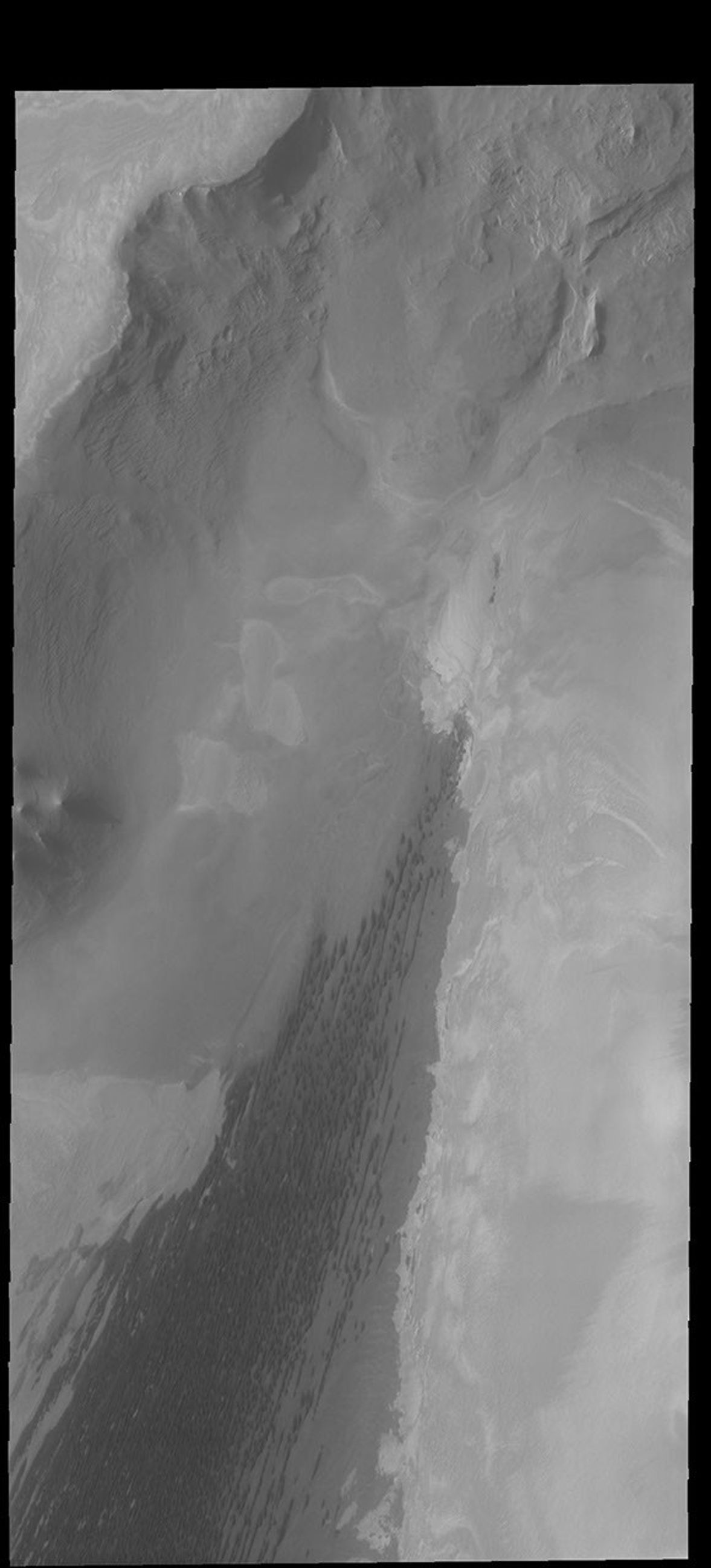
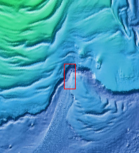
Today's VIS image shows the north polar scarp, with the polar cap in the upper left corner. Trending from the lower left corner to the center of the image are the dark dunes of Abalos Undae. This image is slightly west of Monday's image.
Orbit Number: 63007 Latitude: 82.3442 Longitude: 283.613 Instrument: VIS Captured: 2016-02-26 19:19
Please see the THEMIS Data Citation Note for details on crediting THEMIS images.
NASA's Jet Propulsion Laboratory manages the 2001 Mars Odyssey mission for NASA's Science Mission Directorate, Washington, D.C. The Thermal Emission Imaging System (THEMIS) was developed by Arizona State University, Tempe, in collaboration with Raytheon Santa Barbara Remote Sensing. The THEMIS investigation is led by Dr. Philip Christensen at Arizona State University. Lockheed Martin Astronautics, Denver, is the prime contractor for the Odyssey project, and developed and built the orbiter. Mission operations are conducted jointly from Lockheed Martin and from JPL, a division of the California Institute of Technology in Pasadena.


