Accomplishments
FY 2008 Year in Review
The Science Mission Directorate's Input to the President's Space and Aeronautics Report 2008
NASA’s Science Mission Directorate (SMD) successfully launched six new space and Earth science missions designed to improve our understanding of solar processes, Earth, the universe, and the history of the solar system.
NASA and university scientists announced in November 2007 they developed a promising new technique for estimating the intensity of tropical cyclones from space. The method could one day supplement existing techniques, assist in designing future tropical cyclone satellite observing systems, and improve disaster preparedness and recovery efforts. The technique uses NASA satellite data, including simultaneous, accurate measurements of cloud-top temperatures from the Aqua satellite, and cloud-top height and cloud profiling information from the CloudSat satellite. Both satellites fly in formation as part of NASA's "A-Train" of Earth-observing satellites.
This new method of estimating intensity requires cloud profiling information from over or near a storm's eye. The team analyzed data from nine tropical cyclones observed by CloudSat and calculated their peak winds. The estimates were then compared with available weather data, including data from aircraft. Initial results show the technique's estimates agreed with available weather data. The technique appeared to work better for stronger storms.
The International Polar Year (IPY) is a large scientific program focused on the Arctic and the Antarctic from March 2007 to March 2009. As part of the IPY, the best-ever map of Antarctica comprised of about 1,100 satellite images from the NASA/U.S. Geological Survey Landsat-7 mission was released in November 2007. A team of researchers from NASA, the U.S. Geological Survey, the National Science Foundation and the British Antarctic Survey unveiled the new map in November 2007, which will revolutionize scientific research of the continent's frozen landscape. The map is a realistic, nearly cloudless satellite view of the continent at a resolution 10 times greater than ever before with images captured by Landsat-7. With the unprecedented ability to see features half the size of a basketball court, the mosaic offers the most geographically accurate, true-color, high-resolution views of Antarctica to date.
Another NASA activity that took place for IPY was the Polar Palooza. The Polar Palooza featured multimedia public presentations entitled “Stories from a Changing Planet” told by NASA scientists and researchers sponsored by the National Science Foundation. It also provided workshops for K-12 and museum educators, briefings for local news media and business leaders, and camp-ins for Girl Scouts and Boys and Girls Clubs. Polar Palooza provided the public a valuable opportunity to personally interact with the scientists who bring polar research to life, and to share in the wonder of an ice core 2,000 years old that scientists are using to better understand how Earth’s climate has changed over time.
On March 18, 2008, the Two Wide-angle Imaging Neutral-atom Spectrometers Mission B (TWINS-B) launched. TWINS-B works with TWINS-A providing the second half of the stereo-imaging of the Earth’s magnetosphere, the region surrounding the planet controlled by its magnetic field and containing the Van Allen radiation belts and other energetic charged particles. TWINS-B has enabled three-dimensional global visualization of this region, which has led to a greatly enhanced understanding of the connections between different regions of the magnetosphere and their relation to the solar wind. TWINS-A and TWINS-B will enable the 3-dimensional visualization and the resolution of large-scale structures and dynamics within the magnetosphere for the first time. TWINS-B belongs to the Heliophysics Division of SMD, which aims to understand the Sun and its effects on the Earth.
On March 19, 2008, NASA's Swift satellite detected a powerful stellar explosion called a gamma-ray burst that shattered the record for the most distant object that could be seen with the naked eye. Although the explosion occurred in a galaxy 7.5 billion light years away (more than halfway across the visible universe), it briefly became bright enough to be visible to the unaided eye. This is more than halfway across the visible universe. The observations are giving astronomers the most detailed portrait of a gamma-ray burst ever recorded. The Swift satellite belongs to the Astrophysics Division of the SMD that aims to discover and to understand the origin, structure, and evolution of the universe.
On April 16, 2008, the Coupled Ion-Neutral Dynamics Investigation (CINDI) mission launched. CINDI has discovered the role of ion-neutral interactions in the generation of small and large-scale electric fields in the Earth’s upper atmosphere. Ion-neutral interactions are a key process in controlling the dynamics of all planetary atmospheres and their understanding is important to describing the electrodynamic connections between the Sun and the Upper Atmosphere. In addition, the CINDI instruments have provided measurements of the 3-dimensional neutral winds and ion drifts. CINDI belongs to the Heliophysics Division.
Another Heliophysics Division mission that helped SMD obtained valuable science data is Ulysses. The venerable Ulysses mission, after more than 17 years in space, which is almost four times its expected lifetime, is finally succumbing to the harsh environment of space. Ulysses was the first mission to study the region of space above and below the poles of the Sun. The reams of data Ulysses has returned have forever changed the way scientists view the Sun and its effects.
Key results from Ulysses to date include the first detailed measurements of the solar wind from the Sun's polar regions at solar minimum and solar maximum; the discovery that the magnetic flux leaving the Sun is the same at all latitudes; the discovery of energetic particle "reservoirs" surrounding the Sun; the discovery of interstellar dust in the solar system; and the first direct measurements of interstellar helium atoms in the solar system. Data from the spacecraft show the Sun has reduced its output of solar wind to the lowest levels since accurate readings became available. The Sun's current state could reduce the natural shielding that envelops our solar system.
Another noteworthy mission in the Heliophysics Division is the Time History of Events and Macroscale Interactions during Sub-storms (THEMIS). Researchers using a network of 20 ground observations and a fleet of five NASA satellites from THEMIS discovered in 2008 that explosions of magnetic energy occurring a third of the way to the moon power sub-storms that cause sudden brightening and rapid movement of the aurora borealis, or Northern Lights. The cause is magnetic reconnection, a common process that occurs throughout the universe when stressed magnetic field lines suddenly snap to a new shape, like a rubber band that has been stretched too far. These sub-storms often accompany intense space storms that can cause power outages and disrupt radio communications and global positioning system signals.
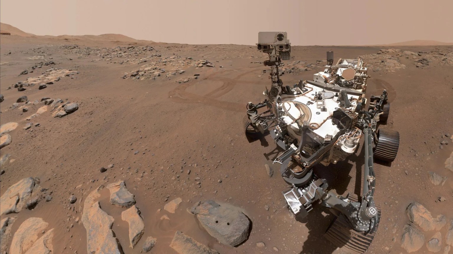
On May 25, 2008, NASA’s Phoenix Mars Lander safely touched down on Mars, at a site farther north than where any previous spacecraft had landed. Phoenix's used thrusters to land on the surface of Mars, a technique not used since the Viking missions in1976. Cameras on Phoenix sent more than 25,000 images back to Earth. Science data proved that there was water ice on Mars; detected snow falling from Martian clouds; documented a mildly alkaline soil environment unlike any found by earlier missions; discovered small concentrations of salts that could be nutrients for life; located calcium carbonate (a marker of effects of liquid water); revealed at least two distinct types of ice deposits; provided a mission-long weather record, with data on temperature, pressure, humidity and wind; and detected perchlorate salt. The findings also advanced the goal of documenting the history of water on Mars. Phoenix exceeded its planned operational life of three months. Phoenix Mars Lander officially ended its mission on November 10, 2008 after successfully returning unprecedented science data to Earth. Phoenix belongs to the Planetary Division of SMD, which aims to advance scientific knowledge of the origin and history of the solar system and the hazards and resources present as humans explore space.
Another Planetary Division mission, the NASA's Mars Reconnaissance Orbiter, revealed vast Martian glaciers of water ice under protective blankets of rocky debris at much lower latitudes than any ice previously identified on the planet. Scientists analyzed data from the spacecraft's ground-penetrating radar and reported that buried glaciers extend for dozens of miles from the edges of mountains or cliffs. A layer of rocky debris blanketing the ice may have preserved the underground glaciers as remnants from an ice sheet that covered middle latitudes during a past ice age. This discovery is similar to massive ice glaciers that have been detected under rocky coverings in Antarctica.
On June 11, 2008, NASA's Gamma-ray Large Area Space Telescope, or GLAST, launched. Scientists spent two months testing and calibrating the spacecraft's two main instruments, the Large Area Telescope (LAT) and the GLAST Burst Monitor. After combining 95 hours of instrument observations, the LAT team unveiled an all-sky image showing the glowing gas of the Milky Way, blinking pulsars, and a flaring galaxy billions of light-years away. The spacecraft has since been renamed the Fermi Gamma-ray Space Telescope. By combining 95 hours of instrument observations, The LAT team also unveiled an all-sky image showing the glowing gas of the Milky Way, blinking pulsars, and a flaring galaxy billions of light-years away. Fermi is now exploring the most extreme environments in the universe, searching for signs for how black holes accelerate immense jets of material to nearly light speed, clues to help crack the mysteries behind powerful explosions known as gamma-ray bursts, and answers to the composition of the universe’s mysterious “dark matter.” Fermi belongs to the Astrophysics Division.
Another important mission in the Astrophysics Division is the Hubble Space Telescope. Astronomers announced in 2008 that Hubble has taken the first visible-light snapshot of a planet circling another star. Observations taken 21 months apart by the coronagraph on Hubble's Advanced Camera for Surveys showed an object orbiting around a star named Fomalhaut. The object is a planet, now called Fomalhaut b and is approximately 10 times the distance of Saturn from our Sun. Estimated to be as much as three times Jupiter's mass, Fomalhaut b is located 25 light-years away in the constellation Piscis Australis, or the "Southern Fish." Fomalhaut has been a candidate for planet hunting since NASA’s Infrared Astronomy Satellite discovered an excess of dust around the star in the early 1980s. The planet is brighter than expected for an object of three Jupiter masses. One possible explanation is that the planet has a Saturn-like ring of ice and dust reflecting starlight. Scientists theorize that the ring might eventually coalesce to form moons.
Also, in commemoration of Hubble completing its 100,000th orbit during its 18th year of exploration and discovery, scientists aimed Hubble to take a snapshot of a dazzling region of celestial birth and renewal. Hubble peered into a small portion of the Tarantula nebula near the star cluster NGC 2074. The region is a firestorm of raw stellar creation, perhaps triggered by a nearby supernova explosion. It lies about 170,000 light-years away and is one of the most active star-forming regions in our local group of galaxies. The image reveals dramatic ridges and valleys of dust, serpent-head "pillars of creation," and gaseous filaments glowing fiercely under torrential ultraviolet radiation.
Further, Hubble and other powerful, space-based telescopes (i.e., Chandra and Sptizer) that complement each other in their observations spanning the electromagnetic spectrum participated in an SMD outreach activity for the blind. At a ceremony in January 2008 at the National Federation of the Blind, NASA unveiled a new book that brings majestic images taken by its Great Observatories to the fingertips of the blind. NASA's new Braille book "Touch the Invisible Sky" presents the first printed introduction to modern, multi-wavelength astronomy studies to the sight disabled community.
"Touch the Invisible Sky" is a 60-page book with color images of nebulae, stars, galaxies and some of the telescopes that captured the original pictures. Each image is embossed with lines, bumps and other textures. These raised patterns translate colors, shapes and other intricate details of the cosmic objects, allowing visually impaired people to experience them. Braille and large-print descriptions accompany each of the book's 28 photographs, making the book's design accessible to readers of all visual abilities.
On June 20, 2008, the Ocean Surface Topography Mission (OSTM)/Jason-2 mission launched. OSTM is the next-generation ocean altimetry mission to extend the time series of sea surface topography measurements begun by TOPEX/Poseidon (1992-2005) and continued by Jason-1 (2001- Present). Generally, OSTM has these following science objectives: (a) improve the knowledge of the ocean circulation that does not change with time, (b) measure global sea level change, and (c) improve coast ocean tide models.
While the TOPEX/Poseidon and Jason-1 missions were collaborations between NASA and the French space agency Centre National d’Estudes Spatiales (CNES), OSTM is a four-partner mission with NASA, CNES, the European Organization for the Exploitation of Meteorological Satellites (Eumetstat), and the National Oceanic and Atmospheric Administration (NOAA). The OSTM satellite carries the next generation instruments including CNES’s Poseidon-3 dual-frequency radar altimeter to measure sea surface height and NASA/Jet Propulsion Laboratory’s Advanced Microwave Radiometer to remove the effects of water vapor from the altimetry measurement. With these and other technological improvements, OSTM will maintain or surpass Jason-1’s measurements accuracy of 3.3 centimeters. This precise measurement will help scientists better understand ocean circulation and its effect on global climate. OSTM belongs to the Earth Sciences Division of SMD, which aims to study Earth from space to advance scientific understanding and meet societal needs.
On October 19, 2008, the Interstellar Boundary Explorer (IBEX) mission launched. IBEX will detect for the first time the edge of the solar system, study galactic cosmic rays and energetic particles from beyond the solar system that pose health and safety hazards for humans exploring beyond Earth’s orbit. As the solar wind from the Sun flows out beyond Pluto, it collides with the material between the stars, forming a shock front. IBEX contains two neutral atom imagers that are designed to detect particles from the termination shock at the boundary between the solar system and the interstellar space. IBEX will make these observations from a highly elliptical orbit that takes it beyond the interference of the Earth’s magnetosphere. IBEX belongs to the Heliophysics Division.
On October 22, 2008, NASA partnered with India to fly two science instruments aboard their country's first lunar explorer, Chandrayaan-1. The spacecraft entered lunar orbit on November 8, 2008. NASA's Moon Mineralogy Mapper is surveying mineral resources of the moon, and the Miniature Synthetic Aperture Radar is mapping the moon's polar regions looking for ice deposits in the permanently shadowed craters. Recently, scientists using NASA’s Mini – SAR on Chandrayaan-1 have gotten a look inside two of the moon’s coldest, darkest craters, at its north and south poles. The floors of the craters – Seares near the moon’s north pole and Haworth crater at the south pole, are not visible from Earth. However, by using the Mini – SAR radar on the Chandrayaan-1 spacecraft, scientists are able to map and search the insides of the craters for water ice. More analysis will assist scientists to determine if buried ice deposits exist in the permanently shadowed craters near the moon’s poles. Chandrayaan-1 belongs to the Planetary Division.
Another noteworthy mission in the Planetary Division is MESSENGER. The MESSENGER spacecraft has traveled three billion miles since its launch in August 2004. The planet Mercury orbits deep within the Sun’s gravity well. Although the planet can be as close as 51 million miles from Earth, getting the spacecraft into orbit around Mercury depends on an innovative trajectory using the gravity of Earth, Venus, and Mercury itself to slow and shape the spacecraft’s descent into the inner solar system. On its 4.9 billion-mile journey to become the first probe to orbit the planet Mercury, MESSENGER has flown by Earth once, Venus twice, and Mercury twice (both in 2008).
During the two Mercury flybys, MESSENGER’s cameras captured more than 1,200 high-resolution and color images of the planet – unveiling another 30 percent of Mercury’s surface that had never before been seen by spacecraft and gathering essential data for planning the overall mission after orbit insertion in 2011. The second flyby provided an opportunity for several of the MESSENGER Educator Fellows, master science educators, to share the experience and excitement felt by the scientists and engineers. Besides being there for the closest approach, the Fellows were also able to listen to the discussions of the data from the flyby. With the use of Web 2.0 and social media networking, the Fellows reported in real time to their school districts and students about their experiences.
An additional significant mission in the Planetary Division is Cassini. Before the Cassini spacecraft reached Saturn, scientists thought Saturn’s moon Titan would have global oceans of methane, ethane and other light hydrocarbons. More than 40 close flybys of Titan by Cassini show no such global oceans exist, but hundreds of dark lake-like features are present. Until now, it was not known whether these features were liquid or simply dark, solid material. NASA scientists concluded that at least one of the large lakes observed on Saturn's moon Titan contains liquid hydrocarbons, and have positively identified the presence of ethane. This makes Titan the only body in our solar system beyond Earth known to have liquid on its surface. Scientists made the discovery using data from one of Cassini’s instruments, which identified chemically different materials based on the way they absorb and reflect infrared light.


