Earth planning date: Tuesday, Feb. 18, 2025
During today’s unusual-for-MSL Tuesday planning day (because of the U.S. holiday on Monday), we planned activities under new winter heating constraints. Operating Curiosity on Mars requires attention to a number of factors — power, data volume, terrain roughness, temperature — that affect rover operability and safety. Winter means more heating to warm up the gears and mechanisms within the rover and the instruments, but energy that goes to heating means less energy for science observations. Nevertheless, we (and Curiosity) were up to the task of balancing heating and science, and planned enough observations to warm the science team’s hearts.
We fit in DRT, APXS, and MAHLI on two different bedrock targets, “Chumash Trail” and “Wheeler Gorge,” which have different fracturing and layering features. In the workspace, ChemCam targeted a clean vertical exposure of layered bedrock at “Sierra Madre” and a lumpy-looking patch of resistant nodules at “Chiquito Basin.”
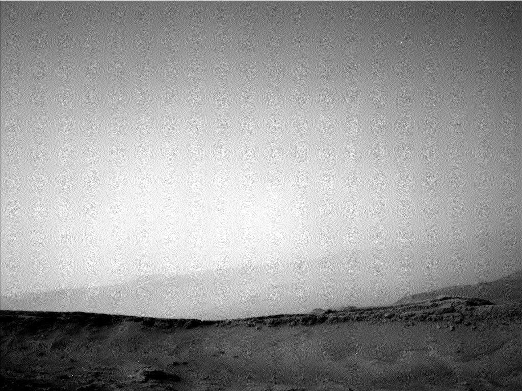
The topography of the local terrain and our end-of-drive position after the weekend fortuitously lined up to give us a view of an exposure of the Marker Band, which we first explored on the other side of Gediz Vallis Ridge. Having a view of another exposure of this distinctive horizon helps give us further insight into its origin, so we included both RMI and Mastcam mosaics of the exposure.
Documenting a feature that, unlike the Marker Band, has been and will be in our sights for a long time — “Texoli” butte (pictured above) — was the goal of additional Mastcam and ChemCam imaging. Observations of potential sedimentary structures on the flank of Texoli motivated acquisition of an RMI mosaic, and a chance to capture structures along its southeast face inspired a Mastcam mosaic. Good exposures of additional nearby bedrock structures at “Mount Lukens” and “Chantry Flat” drew the eye of Mastcam, while another small mosaic focused on the kind of linear troughs in the sand we often see bordering bedrock slabs. Environmental observations included Navcam cloud and dust-devil movies, Mastcam observations of dust in the atmosphere, and REMS and RAD measurements spread across the three sols of the plan.
Written by Michelle Minitti, Planetary Geologist at Framework