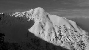
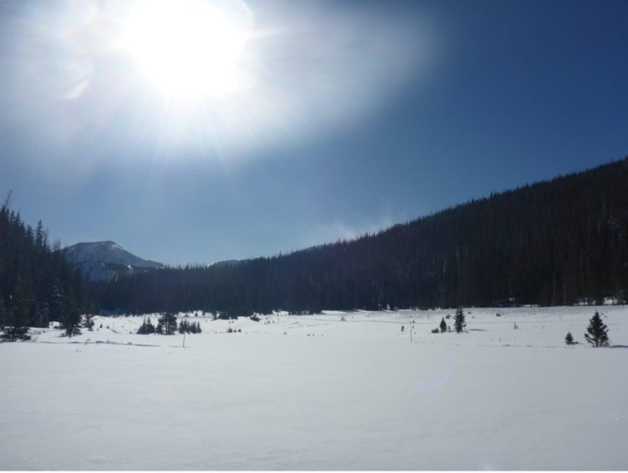
Suggested Searches

This content has been archived.

Earth Expeditions

    An Active Arctic: Where Sea Ice Meets the Midnight Sun

    The German icebreaker Polarstern lit up on every deck, acting as a beacon for researchers navigating the Arctic terrain. Credit: University of Maryland / Steven Fons

    By Emily Fischer, Goddard Space Flight Center In the early 1900s, Ernest Shackleton attempted to travel across Antarctica, but as they neared the continent his ship became stuck in an pack of sea ice and was slowly crushed before it reached the landmass. Over 100 years later and on the opposite side of the globe …

    Read Full Post

    Chasing Satellites with Jacques Cousteau

    acques Cousteau and his team of expert divers were a key part of the success of the 1975 NASA-Cousteau Bathymetry Experiment. In this photo from left to right: Bernard Delemotte, Chief Diver; Henri Garcia; Jean-Jérome Carcopin, and Jacques Cousteau. Photo credit: NASA

    By Laura Rocchio, Goddard Space Flight Center Leaving from Nassau on a Tuesday night in August 1975, Jacques Cousteau and his team set out on the Calypso for a three-week expedition designed to help NASA determine if the young Landsat satellite mission could measure the depth of shallow ocean waters. For days, the Calypso played …

    Read Full Post

    Operation IceBridge: Glaciers Aren’t Forever

    by Emily Fischer Flying a plane over Alaska's vast landscape provides a birds-eye view of some incredible sights. Bears run across frigid streams, moose trample through mounds of snow, and golden eagles own the air above ice-capped mountains. Glaciers cut paths through these mountains, leaving lakes and rivers in their wake. These glaciers are especially …

    Read Full Post

    Lasers and Bubbles: Solving the Arctic’s Methane Puzzle

    by Emily Fischer Trudging through snow up to their thighs, researchers Nicholas Hasson and Phil Hanke pull 200 pounds of equipment through boreal terrain near Fairbanks, Alaska. Once they reach their destination – a frozen, collapsing lake — they drill through two feet of ice to access frigid water containing copious amounts of methane. Hasson …

    Read Full Post

    Prepping for a High Altitude Flight

    NASA's high-altitude ER-2 aircraft was part of the IMPACTS field mission to study snow in January and February, 2020. Credit: NASA/Katie Stern

    By Katie Stern, IMPACTS' Deputy Project Manager / HUNTER ARMY AIRFIELD, SAVANNAH, GEORGIA/ "Get in there and check it out!" I was encouraged by "Corky" Cortes from the NASA ER-2 Life Support Team to see how the pilots prepare for their flight. This was my first NASA field campaign with the ER-2, a high altitude …

    Read Full Post

    A Breathtaking View – Literally

    Credit: NASA / Jessica Merzdorf

    By Jessica Merzdorf / GRAND MESA LODGE, COLORADO After visiting with part of the SnowEx 2020 airborne team, we headed up the mountain to rendezvous with the ground team, stationed at Grand Mesa Lodge. "Does anyone have a headache?" asked Jerry Newlin, SnowEx operations manager, as we left the little town of Delta and the …

    Read Full Post

    Snow Science Two Miles in the Sky

    Grand Mesa, Colorado has an elevation of 10,500 feet, and from the Land's End Observatory, you can see across the valley to Utah. The large, flat surface of the mesa is perfect for SnowEx 2020's instrument testing and validation activities. Credit: NASA / Jessica Merzdorf

    By Jessica Merzdorf / GRAND MESA LODGE, COLORADO What is it like to do science nearly 2 miles above sea level? At a majestic 10,500 feet elevation, Grand Mesa is the world's tallest mesa, or flat-topped mountain. It's also the site of an intense month of data collection by NASA's SnowEx 2020, a ground and …

    Read Full Post

    A Wintry Flight

    The NASA P-3 Orion on the runway ready for IMPACTS' second science flight on Jan. 25, 2020, at NASA's Wallops Flight Facility in Virginia. Credit: NASA/Katie Jepson

    By Ellen Gray /NASA'S WALLOPS FLIGHT FACILITY, VIRGINIA/ After a cloudy and rainy morning, by 1:50 pm the sun had come out and the skies were clear for take-off at NASA's Wallops Flight Facility in Virginia. The P-3 Orion research aircraft outfitted with eleven instruments to measure conditions inside snow clouds was heading north to …

    Read Full Post

    Meet IMPACTS’ Student Forecasters

    Map of freezing levels - the altitude at which the temperature is 0°C in the atmosphere. This is one of the things forecasters look at to find the snow the fly through and keep the plane safe. Credit: NASA

    By Ellen Gray /NASA'S WALLOPS FLIGHT FACILITY, VIRGINIA/ The IMPACTS team is what makes the field campaign happen. Over 200 people are contributing to the project from aircraft crews and managers, to support and logistics staff, to the scientists running the instruments and asking the big questions. They include veteran pilots and mission managers, university …

    Read Full Post

    Waiting for Good Snow

    NASA's P-3 research aircraft will be flying through clouds during IMPACTS to study snow. Credit: Joe Finlan

    By Ellen Gray / NASA'S WALLOPS FLIGHT FACILITY, VIRGINIA/ Nothing to be done. When your field campaign depends on chasing winter storms you have to wait for the weather to arrive in its own time. For the science team of the Investigation of Microphysics Precipitation for Atlantic Coast-Threatening Snowstorms, or IMPACTS, campaign that means carefully …

    Read Full Post