Icy Landscapes Near Svalbard
In May 2017, NASA’s Operation IceBridge concluded its annual survey of Arctic ice. After 10 weeks, 39 research flights, and hundreds of terabytes of data collected, scientists have more information than ever to help them understand changes to the region’s sea- and land ice.
Notable this year were measurements of a crack growing across the ice shelf of Petermann Glacier. Also, the mission flew for the first time over the Eurasian half of the Arctic Basin.
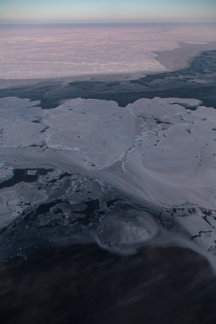
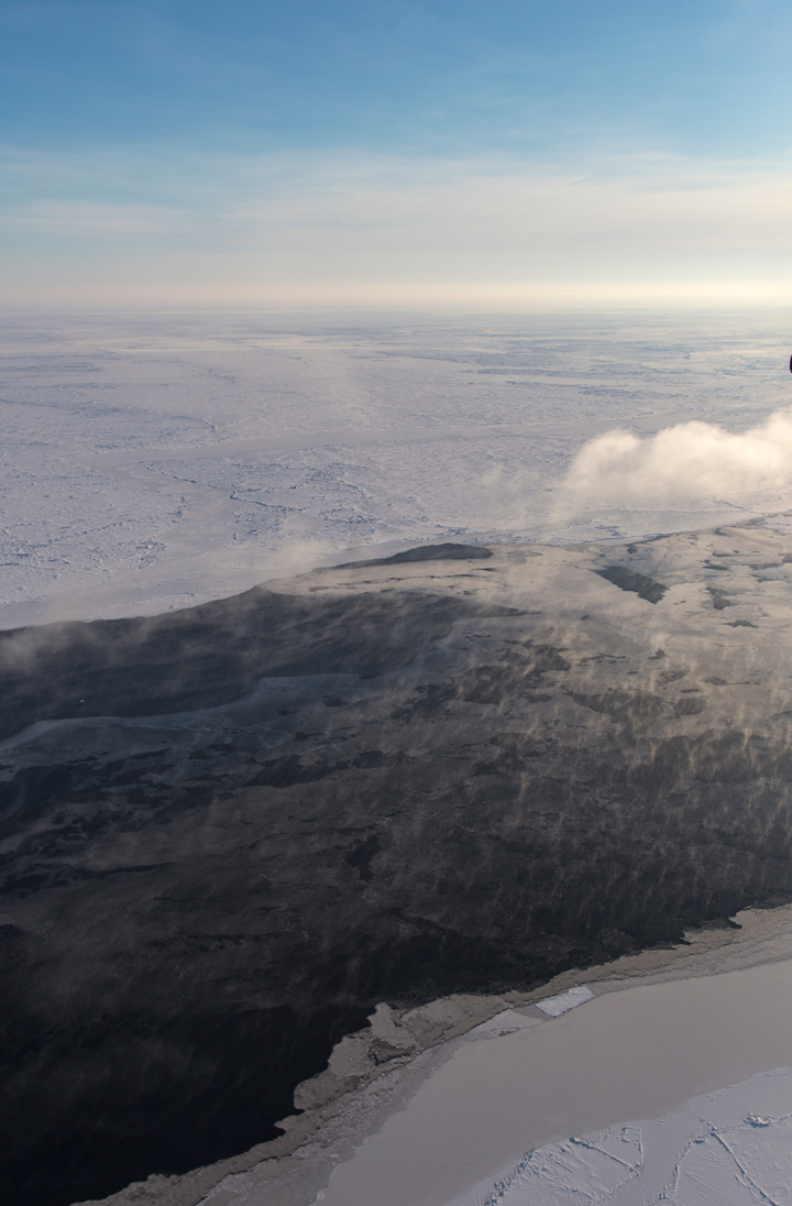
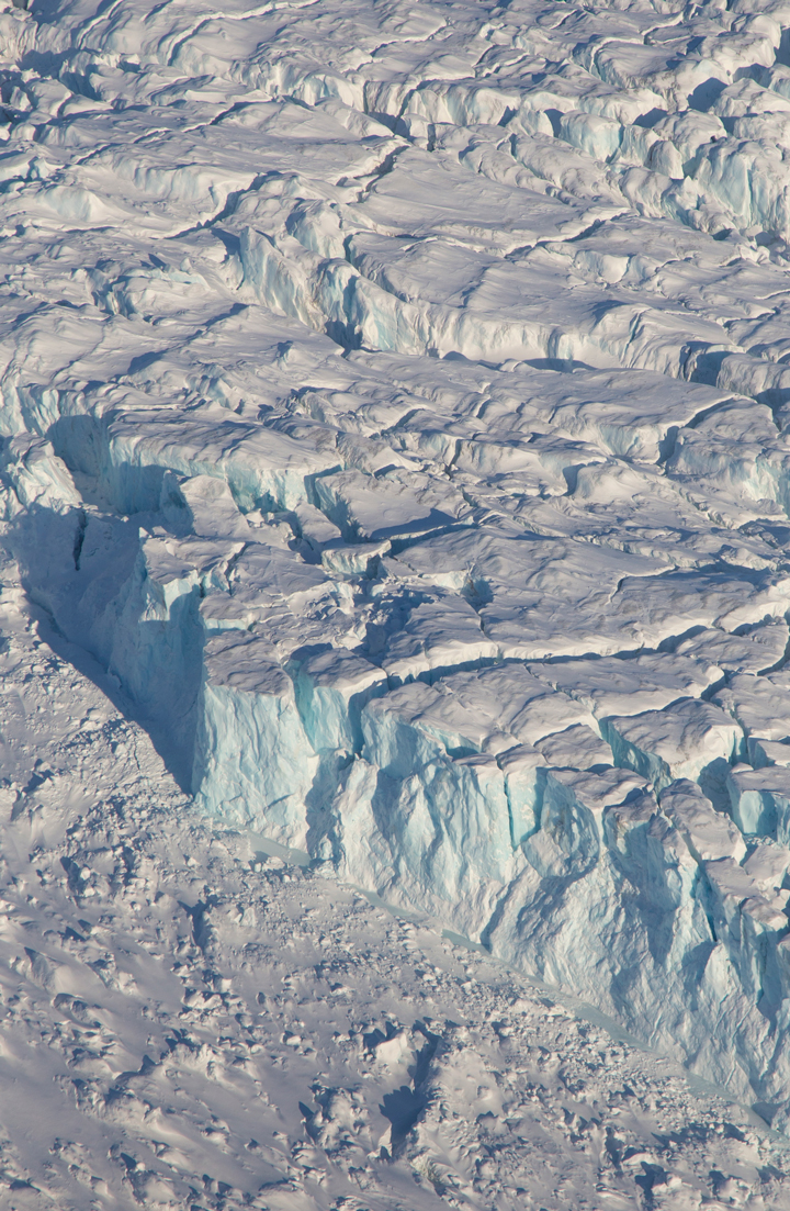
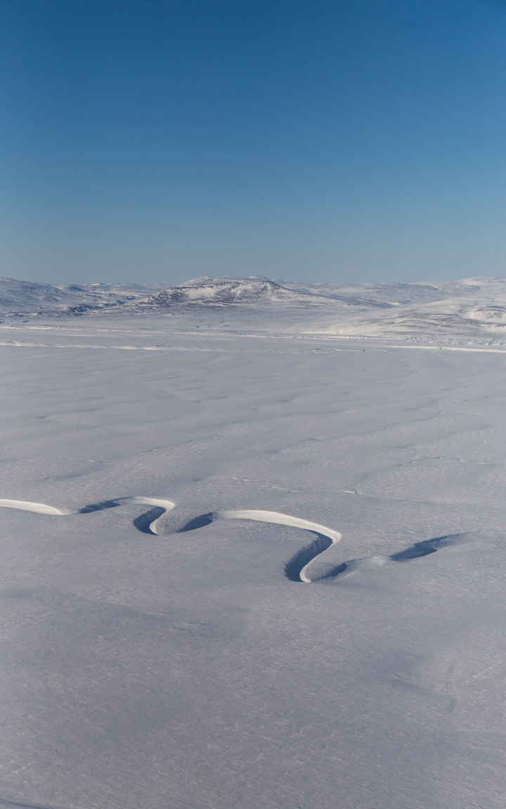
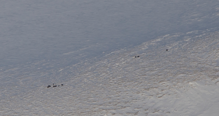
The research flight on April 3 explored glaciers in Greenland, before transiting to Longyearbyen, Norway, which would become the base of operations for the week. These images, snapped by NASA’s Jeremy Harbeck, show some of the highlights from that flight, featuring plenty of interesting glaciers, landforms, and even some wildlife.

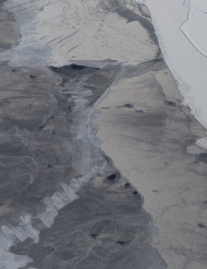
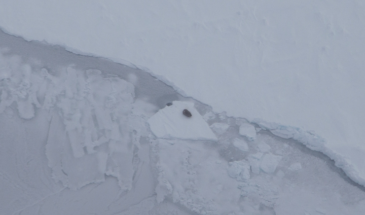
On April 6, researchers flew from Svalbard and surveyed sea ice atop the eastern Arctic Ocean. Below are a few of Harbeck’s favorite photographs from that flight, highlighting the variability of sea ice.