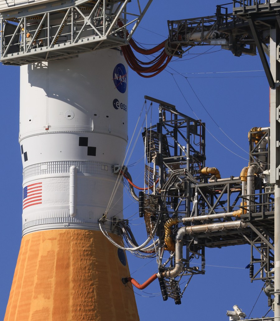
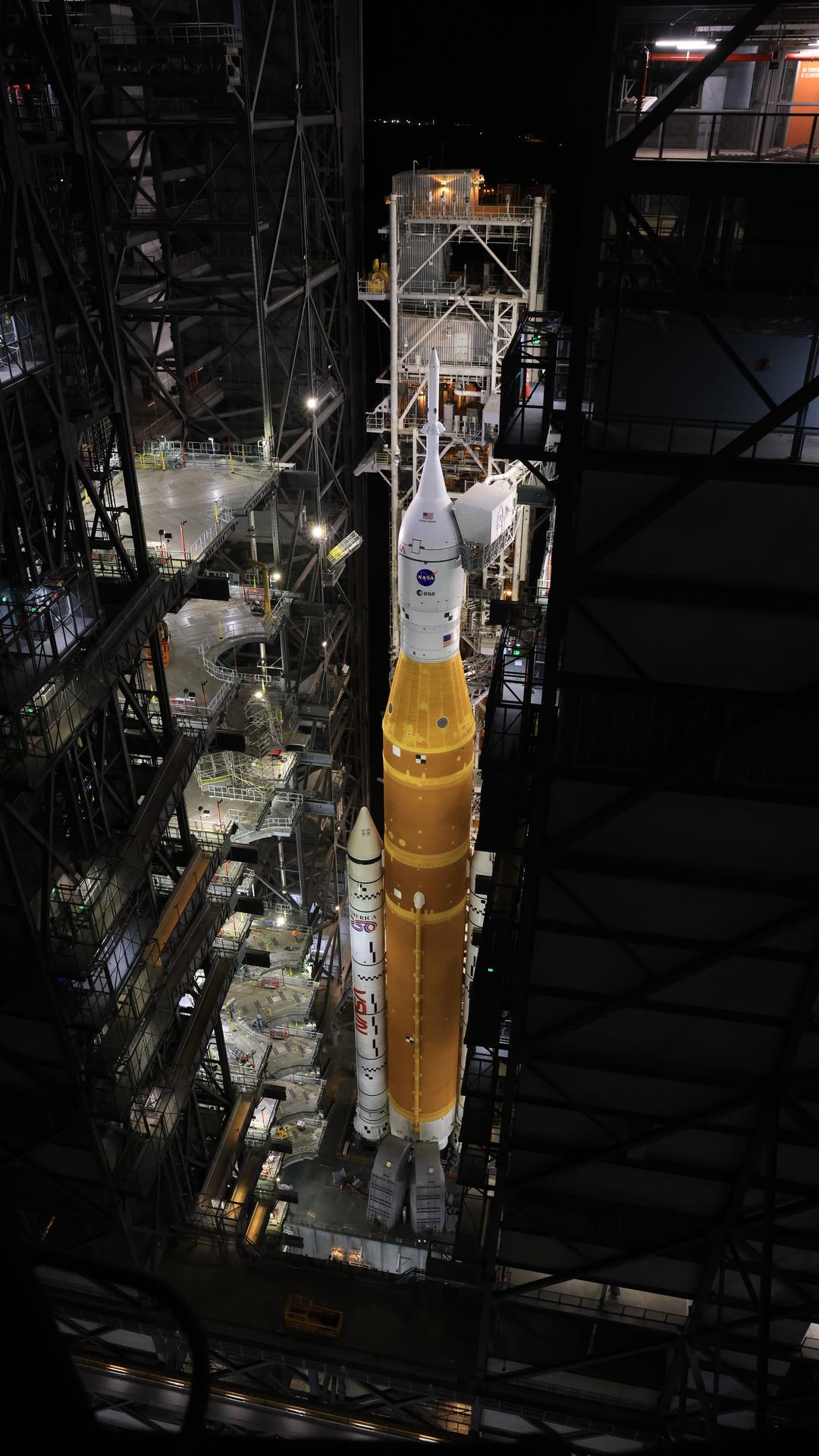
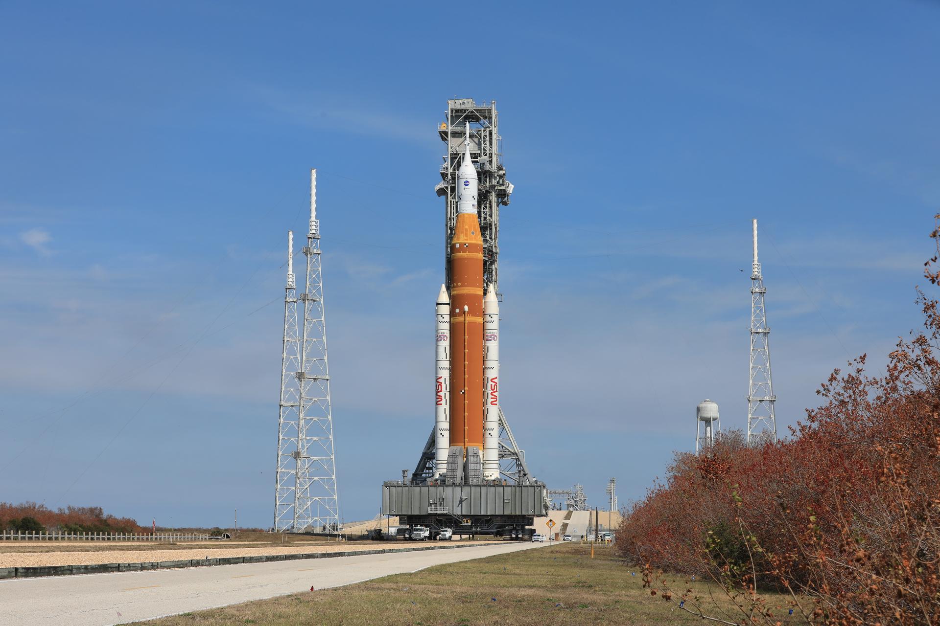
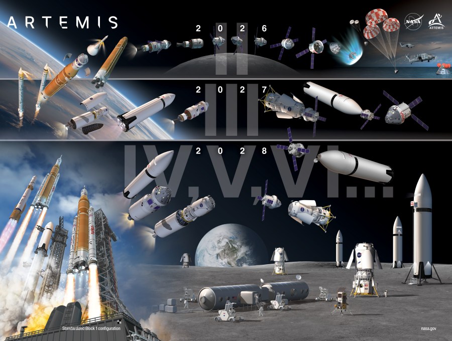
Suggested Searches

Blogs

    NASA’s IMAP Mission Captures ‘First Light,’ Looks Back at Earth

    An animated GIF shows a large oval that is initially filled with large rectangular pixels of different colors from dark blue, light blue, green, yellow, orange, red, and pink. The pixels change color rapidly. The oval then goes from filled to only having two large vertical bands of colored pixels and then two thinner vertical bands of pixels, with the rest of the oval becoming gray, with no data. At the center of the oval a white dot is labeled "Nose." An orange, circular outline extends from the top of the oval below the Nose. A second orange curve stretches across the oval, starting at the upper left, curving down toward the bottom center of the oval, and then bends back up to the upper right edge of the oval.

    All 10 instruments aboard NASA’s newly launched IMAP (Interstellar Mapping and Acceleration Probe) mission have successfully recorded their first measurements in space. With these “first light” observations, the spacecraft is now collecting preliminary science data as it journeys to its observational post at Lagrange point 1 (L1), about 1 million miles from Earth toward the […]

    Read Full Post

    NASA’s Carruthers Geocorona Observatory Reveals ‘First Light’ Images

    NASA’s Carruthers Geocorona Observatory has captured its first images from space, revealing rare views of Earth and the Moon in ultraviolet light. Taken on Nov. 17 — still months before the mission’s science phase begins — these “first light” images confirm the spacecraft is healthy while hinting at the incredible views to come. The initial […]

    Read Full Post

    NASA and Partners Expand Crucial Water Tracking Program

    The 48 contiguous United States with color coding to reveal water evapotranspiration.

    All 48 contiguous United States will now benefit from timely, high-resolution water data. The OpenET program, a public-private collaboration led by consortium partners NASA, the U.S. Geological Survey, California State University Monterey Bay, Environmental Defense Fund, Desert Research Institute, Google Earth Engine, and HabitatSeven, provides information on evapotranspiration. Evapotranspiration is the movement of water from […]

    Read Full Post

    NASA’s ESCAPADE Trajectory Correction Maneuver Delayed

    An illustration shows the orbit of the twin ESCAPADE spacecraft arcing from Earth towards Mars

    During trajectory correction maneuvers for NASA’s twin ESCAPADE spacecraft on Dec. 8 and Dec. 12, the mission operations team noticed low thrust during the burn for one of the spacecraft. The team is working to identify the cause and will attempt a trajectory correction maneuver in the coming weeks.   The other spacecraft has successfully completed […]

    Read Full Post

    NASA Continues MAVEN Spacecraft Recontact Efforts

    This image shows an artist concept of NASA's Mars Atmosphere and Volatile Evolution (MAVEN) mission.

    NASA’s MAVEN (Mars Atmosphere and Volatile EvolutioN) mission team, in partnership with the agency’s Deep Space Network, continues recovery activities after losing contact with the spacecraft on Dec. 6. To date, attempts to reestablish contact with the spacecraft have not been successful. Although no spacecraft telemetry has been received since Dec. 4, the team recovered a brief fragment of […]

    Read Full Post

    NASA’s Center for Geospace Storms Releases New Space Weather Model

    NASA’s Center for Geospace Storms, or CGS, publicly released the cutting-edge MAGE (Multiscale Atmosphere-Geospace Environment) model, a supercomputing powerhouse that uses NASA mission data to reveal how different parts of geospace react to solar disturbances. The MAGE model will help space weather experts better predict how solar events impact Earth by pulling together several smaller predictive […]

    Read Full Post

    NASA’s TRACERS Spacecraft Begin Preliminary Science Data Collection

    Two black satelittes over a dark blue background that represents Earth's atmosphere. Yellow lines are streaking around the satellites, representing solar wind entering Earth's atmosphere.

    NASA’s TRACERS (Tandem Reconnection and Cusp Electrodynamics Reconnaissance Satellites) mission has started collecting preliminary science data, including tandem measurements that are key to the mission’s science goals. One of the two satellites, Space Vehicle 2, completed commissioning and is fully operational. The other satellite, Space Vehicle 1, is also operating with some limitations following an issue earlier this […]

    Read Full Post

    NASA Satellite Data Could Soon Lead to Safer Bridges Worldwide

    Researchers are turning to satellite data to monitor the world’s longest bridges. Due to high costs and logistical challenges, fewer than 1 in 5 bridges extending 492 feet (150 meters) or more have systems installed to track structural changes that might be harbingers of damage or danger. Satellites could more than triple the portion of […]

    Read Full Post