













NASA, European Sea Level Satellite Prepped for New Role
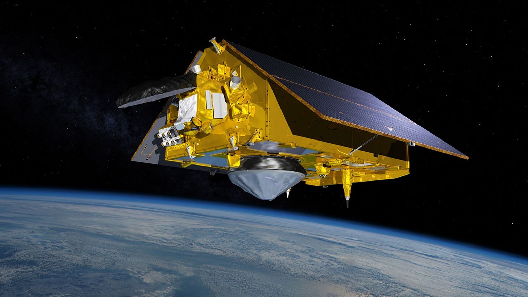
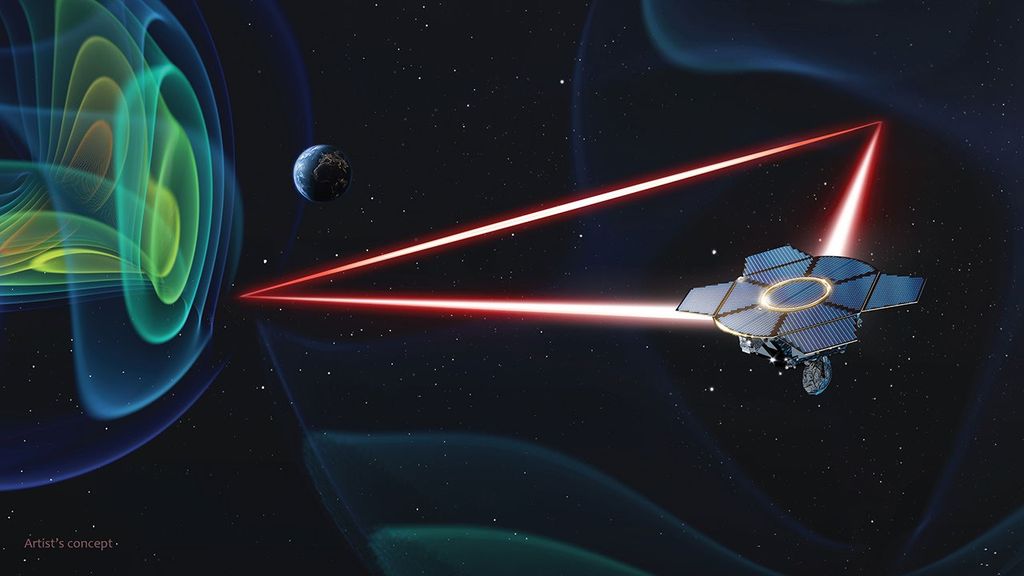
As of Oct. 30, the Sentinel-6B satellite has been calibrated to serve as the world’s go-to data source on sea level rise. The satellite has now passed all its initial system checks to ensure that its data meets the strictest quality and accuracy standards. In January, it will become the reference satellite that other sea-level missions use to calibrate their data.
Its predecessor, Sentinel-6 Michael Freilich, is currently serving that role. Combined, the two satellites provide high-precision ocean measurements used to improve hurricane forecasts, help protect infrastructure, and benefit commercial industries, including shipping.
Sentinel-6B was launched on Nov. 16, 2025, by NASA and its European partners. In the near-future, Sentinel-6 Michael Freilich, which now flies 30 seconds ahead of its twin, will shift into an accompanying orbit, enabling the pair to provide higher-resolution data than they can on their own.
Each Sentinel-6 satellite measures ocean height, as well as the size of waves and marine wind speed, using a radar altimeter, which bounces thousands of radar pulses per second off the crests and troughs of waves. Ocean height is determined by measuring how long these reflected pulses take to return to the spacecraft. Because warm water expands, sea level provides insight into the volume of ocean water and its temperature.
The two satellites already are providing crucial data during what oceanographers expect to be a historic El Niño, a naturally occurring oceanic phenomenon in which warmer-than-usual waters in the central and eastern Pacific Ocean shift global weather patterns. The data will help scientists study sea level changes linked to El Niño and monitor long-term changes in global sea level.
Together, the two satellites make up the Copernicus Sentinel-6/Jason-CS (Continuity of Service) mission, the latest in a series of ocean-observing radar altimetry missions that have been monitoring Earth’s changing seas continuously and along the same ground track since the early 1990s.