


Earth planning date: Tuesday, May 28, 2024
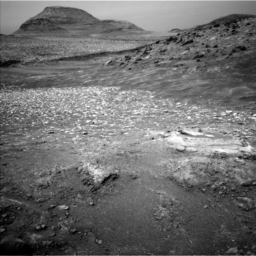
For the last several months, Curiosity has been steadily climbing through the bedrock layers of the upper sulfate unit. While each stop had its own collection of bedrock blocks tilting one way or another, you could imagine putting each scene back together into one coherent package of layers, undoing the work that erosion and time had wrought. In Curiosity’s current location, Gediz Vallis, the puzzle is not so neatly put back together. The valley floor is a jumble of different rock types, as is the ridge that fills the valley, and the rocks are like the pieces you find when you open up a puzzle: different colors and different shapes that as a whole yield a larger picture. Curiosity’s task in today’s plan was to start sorting through the puzzle pieces to continue constructing the larger picture, or geologic history, of Gediz Vallis.
We found individual smooth white pieces at "Hidden Lakes” and "Reggae Pole,” a smooth gray piece at "Rixford Pass,” and a dark gray, rough piece at "Garnet Lake.” “Barrett Lakes” was made up of gray, pale orange, and white pieces, as was “Vennacher Needle,” although the latter appear to have a pattern in the distribution of the pieces. We also acquired numerous mosaics across the wider scene to grab a record of as many pieces as possible. Most notably, we imaged the next big piece we plan to visit in this plan’s drive, “Whitebark Pass.” It has the same variety of colors that Barrett Lakes and Vennacher Needle do, but the pieces are in more orderly proximity to one another, making it easier to figure out the bigger picture.
We did not just spend time looking at complicated rock jumbles. We added observations of dust loading, dust devils, and clouds to capture the chaotic-in-its-own-way atmosphere. REMS, RAD, and DAN measurements occur regularly in the plan, and we dedicated imaging time to the orderly layers of the “Kukenan” butte - a Martian puzzle, albeit a slightly easier one to put together.
Written by Michelle Minitti, Planetary Geologist at Framework


