


Earth planning date: Monday, June 11, 2024
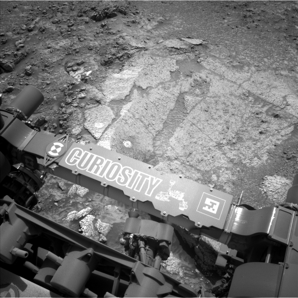
Curiosity is gearing up to drill! Last week, it encountered a rock with unusual coloration and texture that was just out of reach (you can read about it and see pictures here and here). So that Curiosity could learn more about the geology around these rocks, it "bumped" – completing a 0.7-meter drive (2.3 feet) – to reach a nearby rock that’s big enough to drill! After many discussions over the past week with engineers, geologists, chemists, and more, the team has confirmed this target will be our next potential drill target (pictured). We’ve chosen the target name “Mammoth Lakes,” named for a town in California’s Sierra Nevada mountains with basalt columns, hot springs, and waterfalls.
Today, as the Keeper of the Plan for the Geology and Mineralogy theme group, I was busy recording all the necessary observations into the plan as we prepare to drill. In the first sol, we'll start with some essential preparatory activities. We'll use our Dust Removal Tool (DRT) to clean the surface, take detailed images with the Mars Hand Lens Imager (MAHLI) to capture the sedimentary textures, and analyze the composition with the Alpha Particle X-ray Spectrometer (APXS). These steps are crucial to understand the site's potential before we commit to drilling.
The second sol is where things heat up. ChemCam will fire up its Laser Induced Breakdown Spectroscopy (LIBS) to zap the rock and analyze its makeup. We then follow up this activity with imaging the surrounding area to help us understand the context of “Mammoth Lakes.” Mastcam will devote half an hour to capture a mammoth mosaic of the area, showing a potential contact in Gediz Vallis ridge which is marked by a transition from white stones into a coarser material. To top it off, we’ll use the ChemCam’s Remote Micro-Imager (RMI) to get some high-res shots of the sedimentary textures and structures within the surrounding rocks to help us understand the depositional environment when they formed.
Even with all these activities, the environmental science theme group managed to fit in some dust monitoring. Here's hoping all goes well, and we can make "Mammoth Lakes" our 41st drill hole!
Written by Amelie Roberts, Ph.D. candidate at Imperial College London


