Life on Earth
Filters
The primary goal of this collaboration was to support and validate science data products from NASA's recently launched Plankton, Aerosol, Cloud, ocean Ecosystem…

Using satellite data, researchers connected harmful algal blooms with warm water and low water levels at one of Colorado's largest…

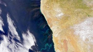
Phytoplankton added a milky blue hue to the waters of the Black Sea and nearby waterways in spring and summer…
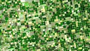
NASA develops technology and missions to observe agricultural landscapes, enhancing food security, stabilizing markets, and supporting productive farming.
Data collected from the ground, aircraft, and communities are helping scientists piece together how carbon moves across the state's diverse…
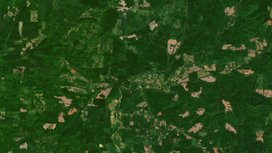
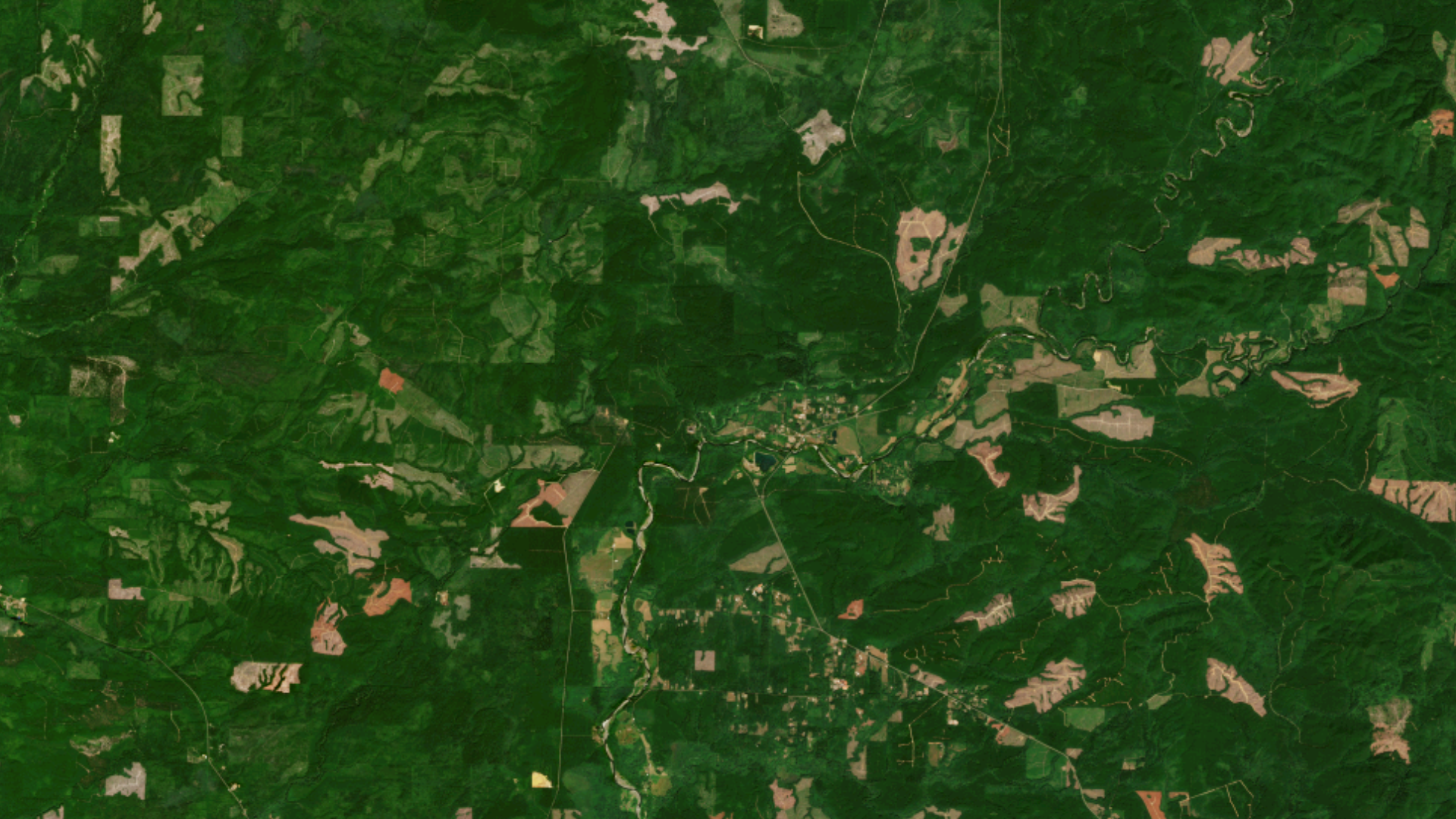
DIST-ALERT, a global land change monitoring system, is revolutionizing forest management.
NASA scientists have developed an artificial intelligence tool to take on a longstanding challenge in ocean waters. In a study…

NASA-funded research is helping turn golden eagle journeys across mountains, grasslands, and borders into data for wildlife managers.

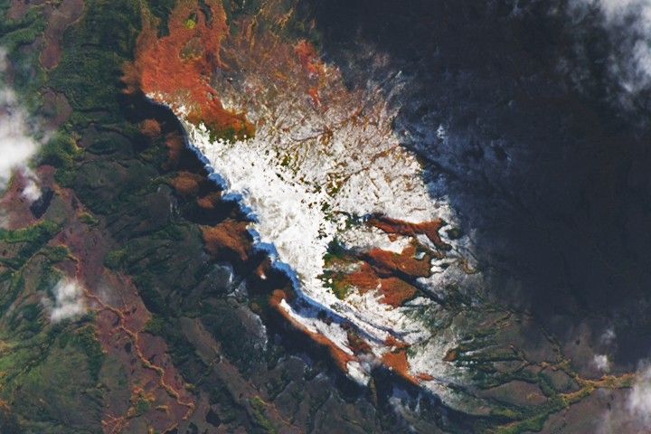
The beech forests of southern Patagonia put on vibrant autumn displays.