


Earth Science Research News
Earth News and Information
Filters

A potent atmospheric river delivered intense rainfall to western Washington, triggering flooding and mudslides.
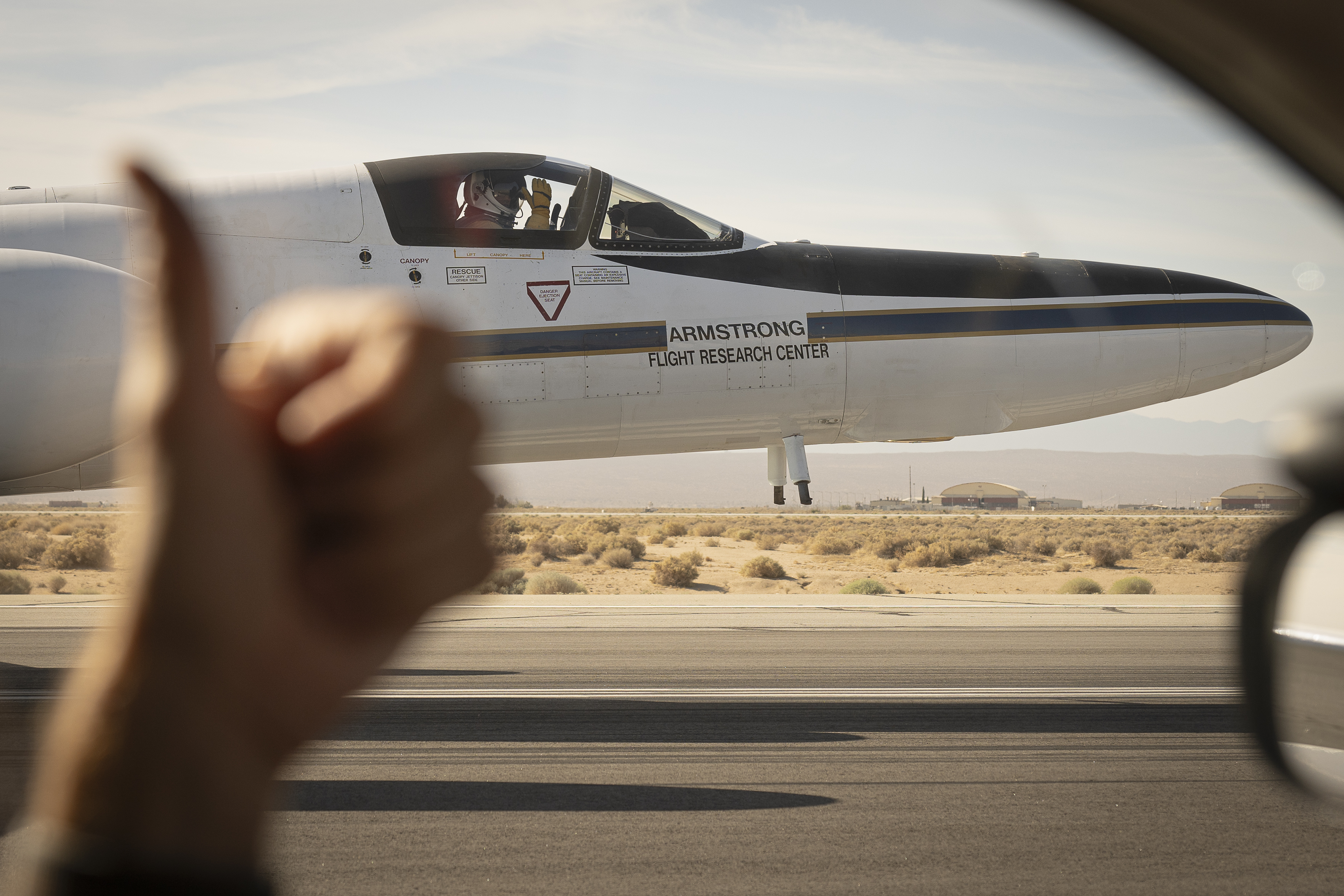
Called AVIRIS-5, it’s the latest in a long line of sensors pioneered by NASA JPL to survey Earth, the Moon, and other worlds. Cradled in the nose of a high-altitude research airplane, a new NASA sensor has taken to the…

The NASA Science Activation project Eclipse Soundscapes (ES), led by ARISA Lab in Medford, Massachusetts, helps learners of all ages explore NASA science through multisensory learning and participatory science opportunities. In the weeks surrounding the 2023 annular solar eclipse and…
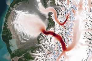
From Alaska’s Saint Elias Mountains to Pakistan’s Karakoram, glaciers speed up and slow down with the seasons.

Over millions of years, water has sculpted limestone in northern Vietnam into an extraordinary karst landscape full of towers, cones, caves, and subterranean waterways.
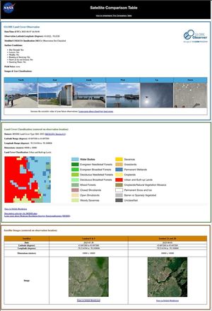
A group of elementary-aged students gather outside of Oldham County Public Library in La Grange, Kentucky, United States to look at clouds in the sky. “If anyone asks what you are doing, tell them, ‘I am a citizen scientist and…
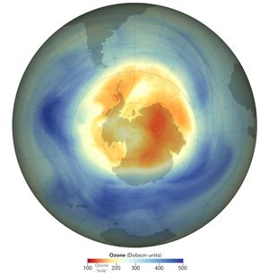
This year, the ozone hole over Antarctica reached its annual maximum extent on Sept. 9th, 2025, with an area of 8.83 million square miles.
The ozone hole over the Antarctic was small in 2025 compared to previous years and remains on track to recover later this century. The hole this year was the fifth smallest since 1992, the year a landmark international agreement to…
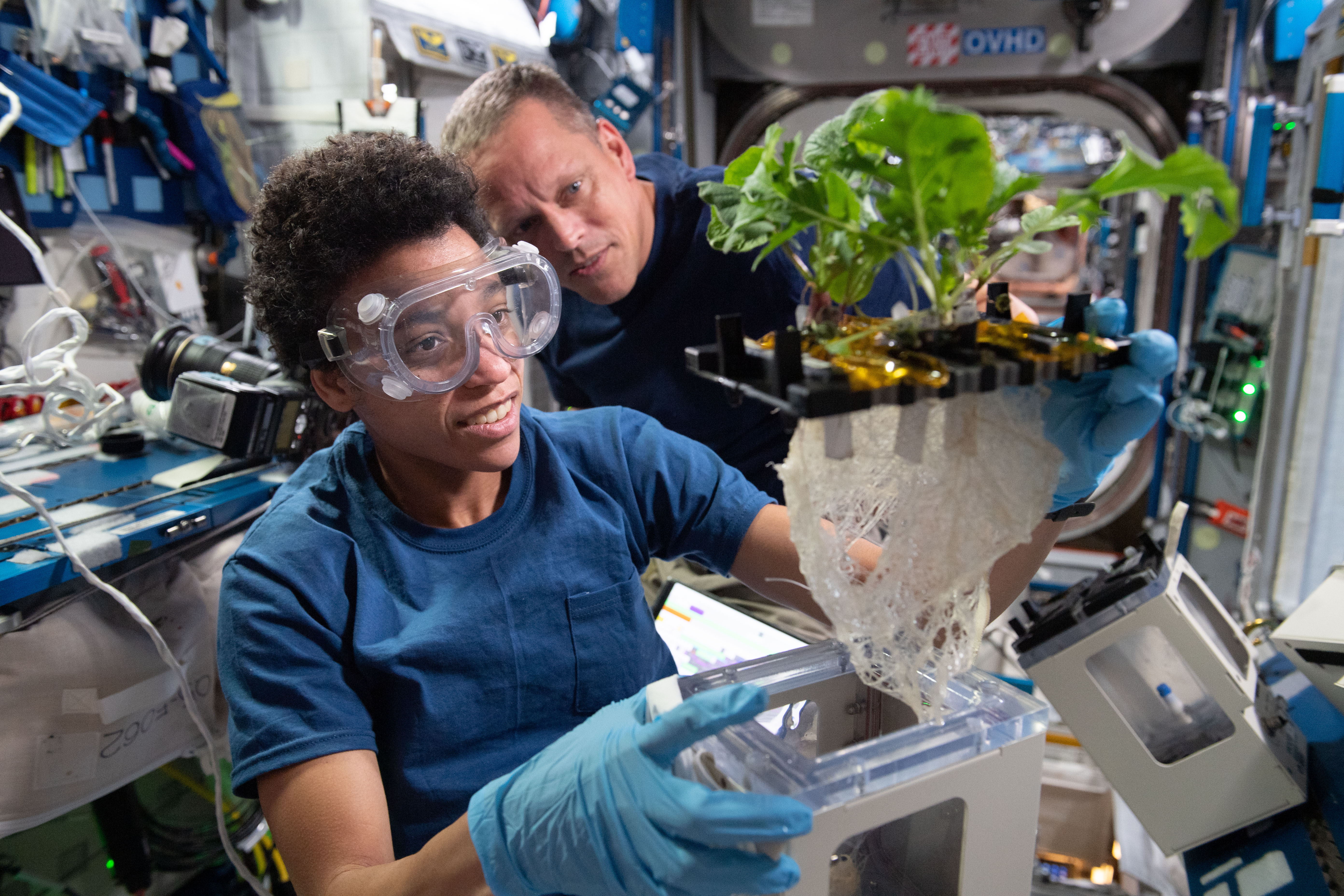
November marks 25 years of human presence aboard the International Space Station, a testament to international collaboration and human ingenuity. Since the first crew arrived on Nov. 2, 2000, NASA and its partners have conducted thousands of research investigations and…

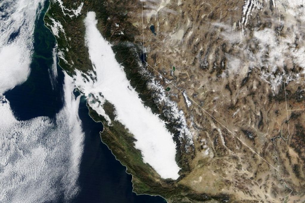
Late-season reds and browns swept across the Ozark Highlands in the south-central U.S.