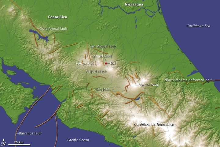
A magnitude 6.1 earthquake caused at least 20 deaths in Costa Rica on January 8, 2009, said the U.S. Geological Survey (USGS). The earthquake was centered 30 kilometers north of San Jose (the country’s capital) and just 4.5 kilometers (2.8 miles) below the surface, a depth shallow enough to ensure strong shaking at the surface. The quake damaged buildings and sent earth tumbling in the mountainous Central American country. Landslides caused the majority of the deaths, said the USGS.
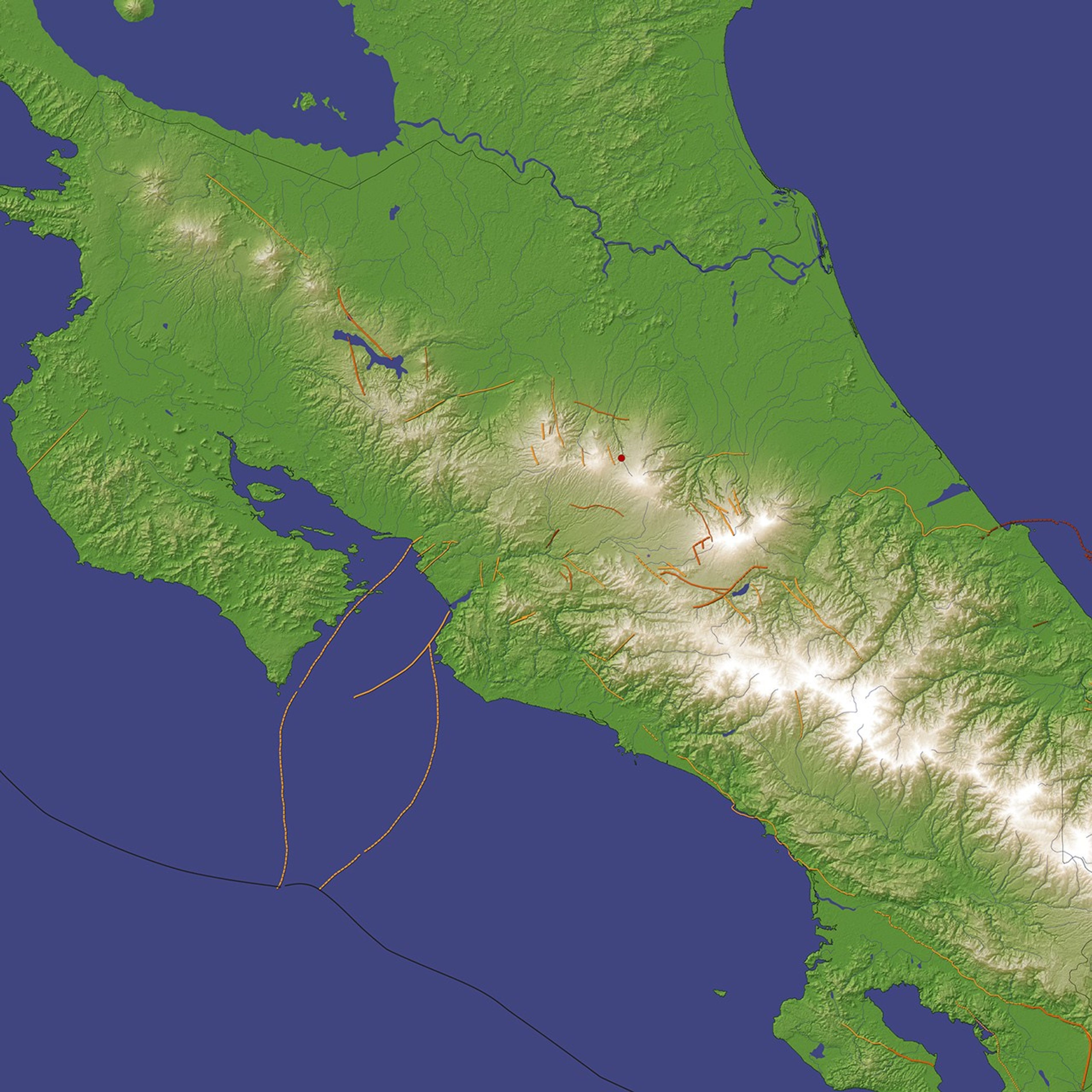
Costa Rica is prone to geologic hazards. As this image shows, active volcanoes dot the small country, and faults, both active and ancient, weave through the country. The January 8 earthquake was centered near two very active volcanoes, Poás and Irazú. Several faults also line the land near the epicenter. The darker colored faults have caused earthquakes during the historic record. The lighter colored faults have not been recently active. Further evidence of geologic activity lies in the high mountain range, the Cordillera de Talamanca, that runs parallel to the coast.
All of this geologic activity, the January 8 earthquake included, can be attributed to plate tectonics. The Cocos plate, a small portion of Earth’s surface beneath part of the eastern Pacific Ocean, is slipping beneath the portion of Earth’s surface that includes Costa Rica, the Caribbean plate. As the Cocos plate moves under the Caribbean plate at a rate of about 75 millimeters per year, it exerts pressure on the Caribbean plate. That pressure formed the mountains and the volcanoes. To ease the pressure, the earth near the edge of the plate shifts from time to time along weak points or faults. The January 8 earthquake did not occur along any known fault, but was caused by the build up of pressure from the subduction of the Cocos plate under the Caribbean plate, said the USGS.
References & Resources
- Earthquake Hazards Program. (2009, January 8). Magnitude 6.1 ââ¬â Costa Rica. United States Geological Survey. Accessed January 16, 2009.
NASA image created by Jesse Allen, using earthquake data from the USGS Earthquake Hazard Program , fault line information from the USGS and the Central American School of Geology, and elevation data from the Shuttle Radar Topography Mission (SRTM) courtesy of the University of Maryland’s Global Land Cover Facility. Caption by Holli Riebeek.