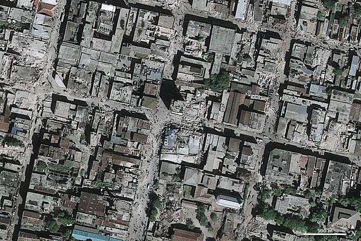
Rubble spills onto the streets of Port-au-Prince, Haiti, in this GeoEye-1 (a commerical satellite company) image from January 13, 2010. The image only hints at the extent of the damage that occurred when a 7.0 earthquake rattled Haiti on January 12, 2010. Several buildings are very clearly damaged, but the other buildings may also be damaged beneath intact roofs. People, tiny dots at this scale, surround the piles of rubble along the edge of the streets.
References & Resources
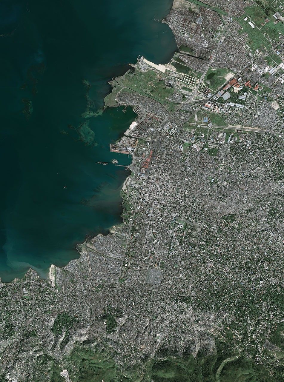
© All Rights Reserved: Use of IKONOS, GeoEye, QuickBird and WorldView imagery must be coordinated with Maxar.
GeoEye data copyright GeoEye. Caption by Holli Riebeek. © All Rights Reserved: Use of IKONOS, GeoEye, QuickBird, WorldView, and Digital Globe imagery must be coordinated with Maxar .