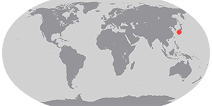


Japan is a country of volcanoes. The island country sits on the western rim of the Pacific Rim of Fire, where the Pacific plate sinks beneath the Asian plate. The movement produces earthquakes and many active volcanoes. Among the most active is Sakura Jima. Historical records going back as far as the 8th century note frequent eruptions that coated the nearby city of Kagoshima with ash.
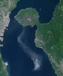
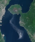
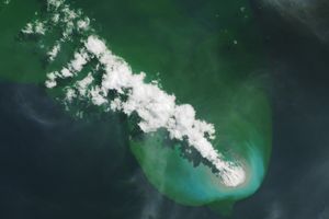
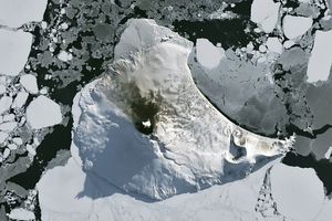
Both the Advanced Land Imager (ALI) on NASA’s Earth Observing-1 (EO-1) satellite and the Moderate Resolution Imaging Spectroradiometer (MODIS) on NASA’s Aqua satellite captured images an eruption at Sakura Jima on May 23, 2014. The top image, from the ALI sensor, was acquired at 9:45 a.m. A single eruption plume drifts south over Kagoshima Bay with the city of Kagoshima ash-free on the left.
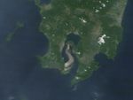
The lower image, acquired 50 minutes later at 10:35 a.m., provides a less detailed view from the MODIS sensor. In that time, the volcano emitted more ash, since two dense plumes are visible.
References & Resources
- Global Volcanism Program (2013) Aria. Accessed May 23, 2014.
- Global Volcanism Program (2013) Japan, Taiwan, Marianas. Accessed May 23, 2014.
- Tokyo VAAC (2014, May 23) Volcanic ash advisory text. Accessed May 23, 2014.
NASA Earth Observatory image by Jesse Allen, using EO-1 ALI data provided courtesy of the NASA EO-1 team. Caption by Holli Riebeek.