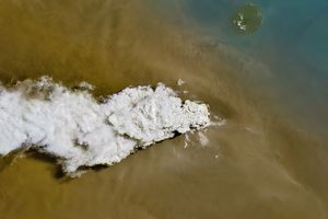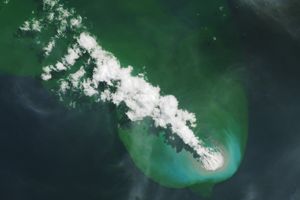



















Continuing a pattern of intermittent activity from the previous December, Anatahan Volcano released plumes of ash and steam in February 2008. In March 2008, the volcano’s activity continued. The Moderate Resolution Imaging Spectroradiometer (MODIS) on NASA’s Terra satellite captured this image on March 4, 2008, as the plume blew away from the volcano to the northeast. The brownish color of the plume in this image suggests that the plume contains at least some volcanic ash.
Located in the central Mariana Islands, Anatahan is a 9-kilometer- (5.6-mile-) long island. The island is a stratovolcano composed of alternating layers of solidified ash, hardened lava, and rocks ejected by previous eruptions. The first historical eruption of Anatahan occurred in May 2003, and that explosive eruption formed a new crater inside the island’s eastern caldera.
References & Resources
NASA image courtesy the MODIS Rapid Response Team at NASA GSFC. The Rapid Response Team provides daily images of this region. Caption by Michon Scott.