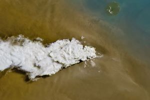

























The Anatahan Volcano emitted a plume of volcanic ash on March 19, 2006. The Moderate Resolution Imaging Spectroradiometer (MODIS) flying onboard the Aqua satellite captured this image the same day. In this image, the tiny volcanic island sends a plume of volcanic ash or dust toward the southwest, over the Pacific Ocean. The right edge of the image shows a phenomenon called sunglint caused when sunlight bounces off the ocean’s surface and into the satellite sensor.
Anatahan sits near the center of the Northern Mariana Islands. The islands result from a collision between the Pacific Plate and the Philippine Plate. As the Pacific Plate slides under the Philippine Plate, rocks heat up and break up. They eventually force their way to the surface through weak spots in the Philippine Plate and emerge as volcanoes like Anatahan. This volcano began erupting in January 2005 and remained active for much of the year. In August 2005, the volcano quieted, but in early March 2006, the governor of the Northern Mariana Islands extended the state of emergency for the island of Anatahan, citing continued volcanic activity. Except for those conducting scientific research, the island remained off limits for human habitation and travel. Volcanic ash can pose hazards for local air travel as well, as dustings from volcanoes can damage airplane engines.
References & Resources
NASA image courtesy the MODIS Rapid Response Team at NASA GSFC. The MODIS Rapid Response Team provides daily images of Anatahan.