


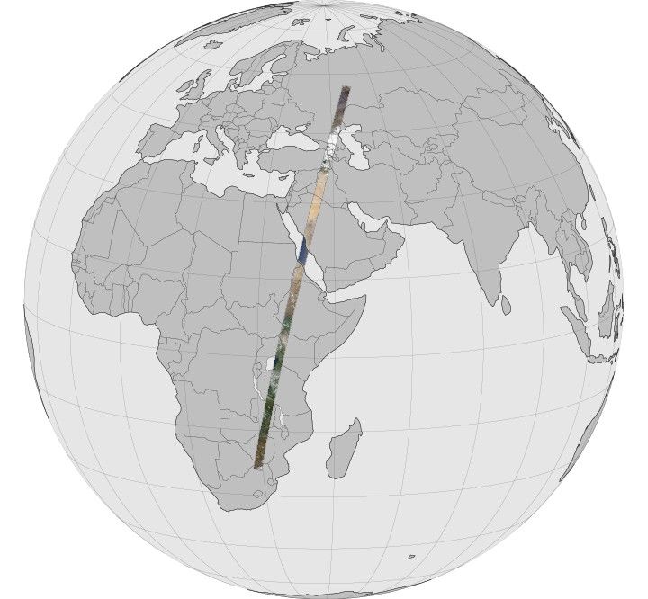
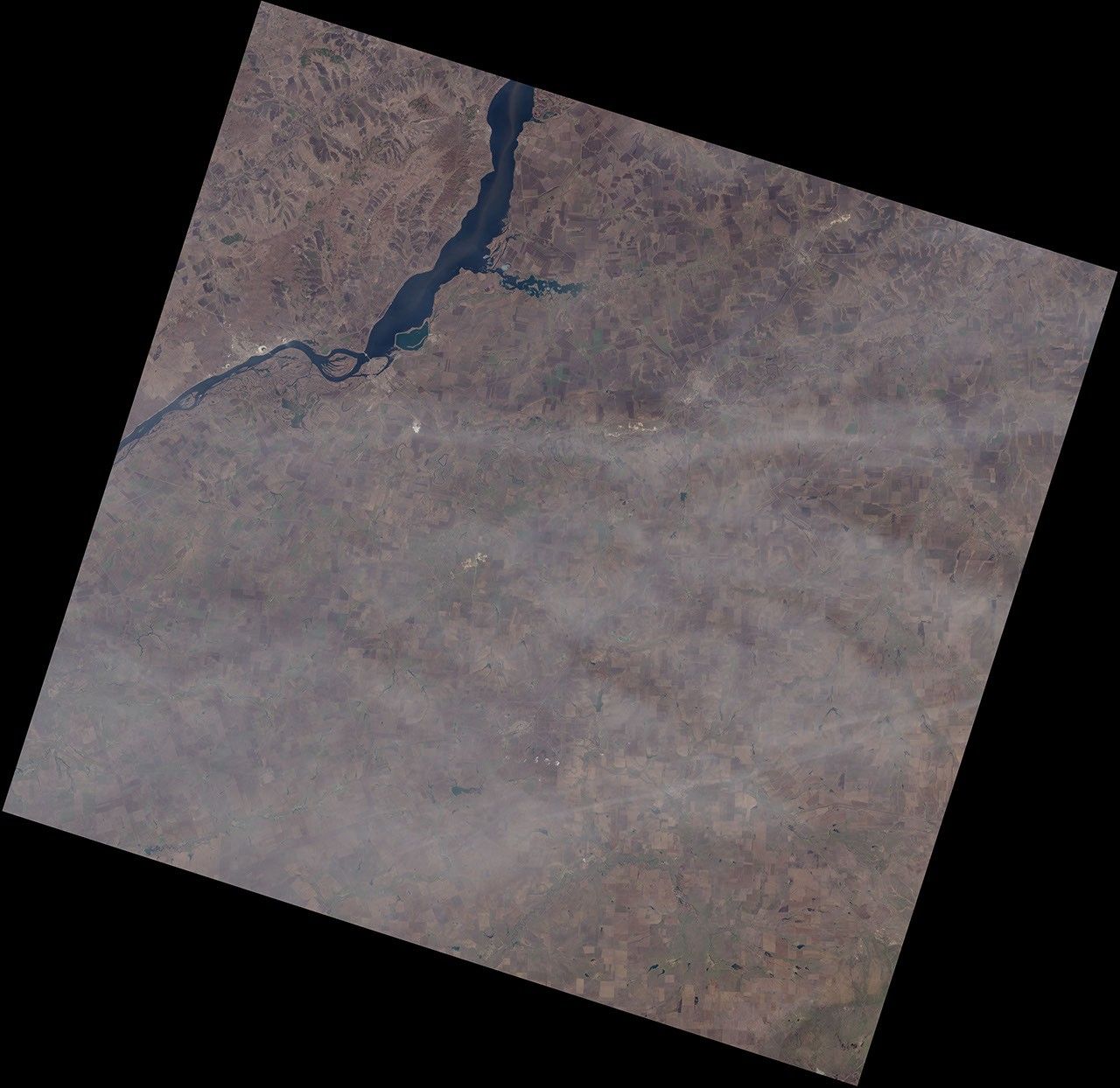
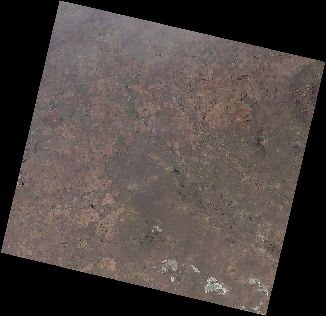
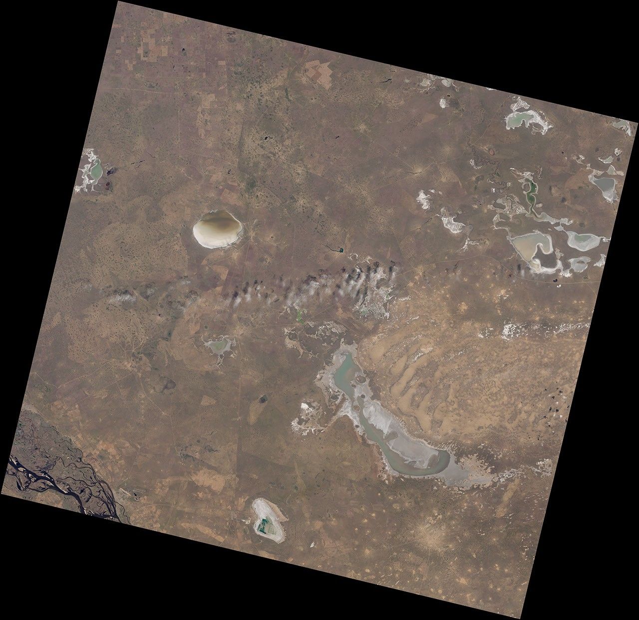
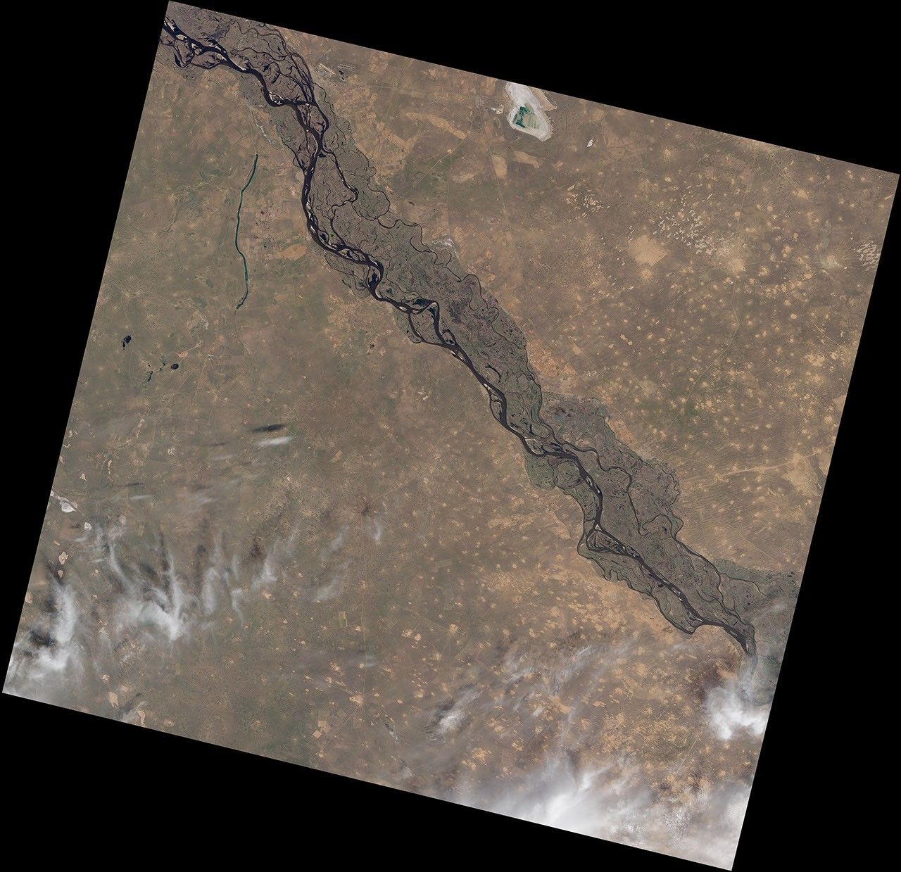
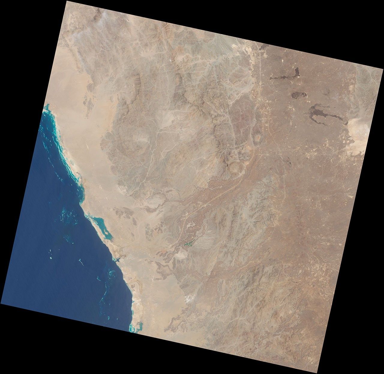
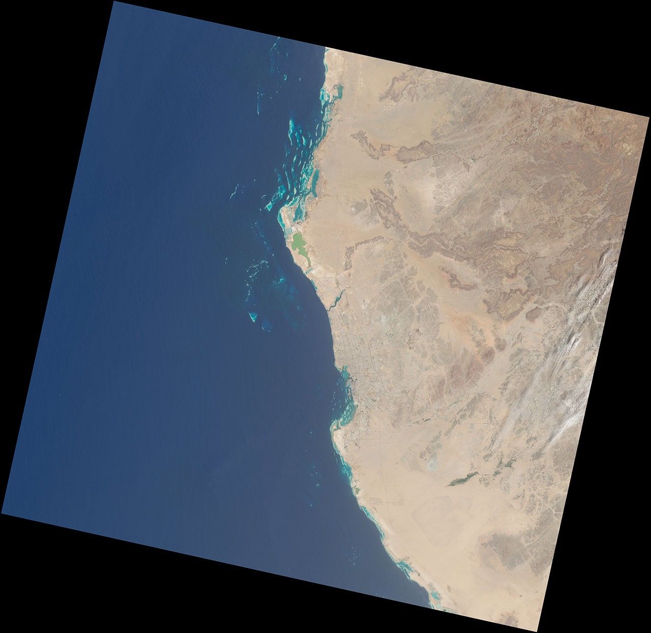
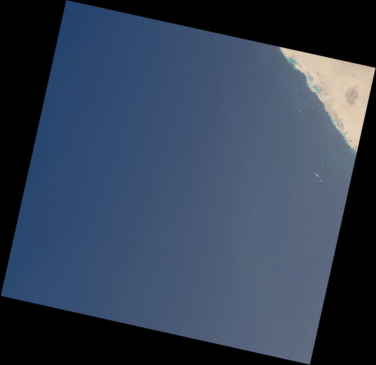
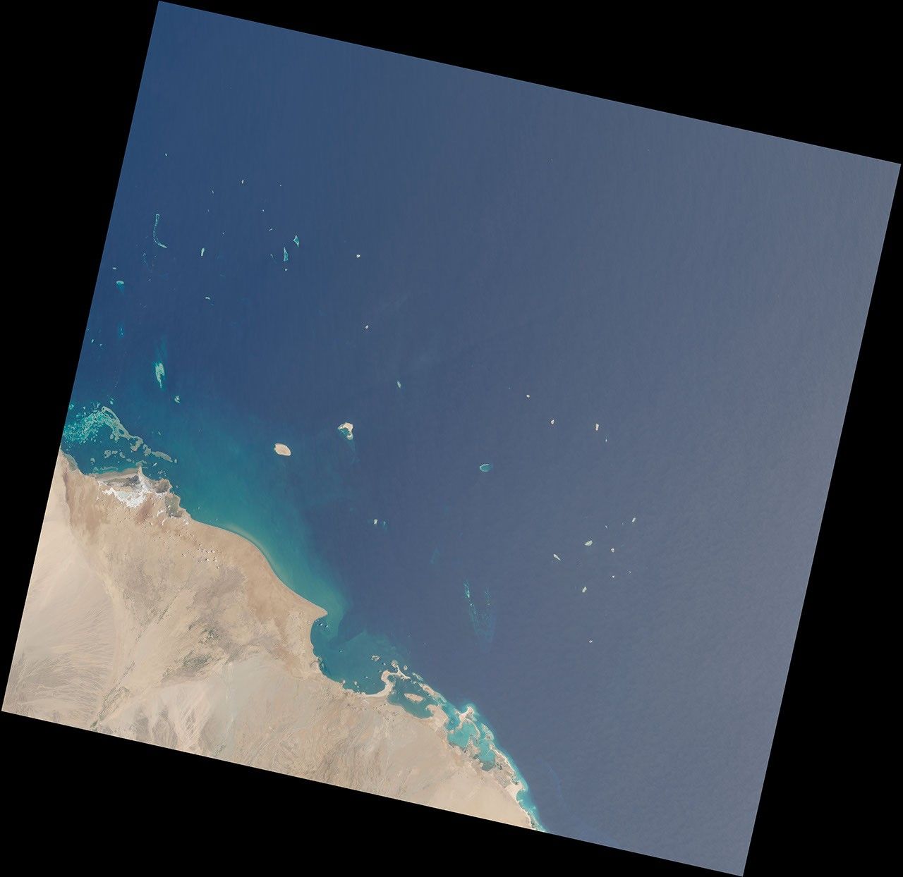
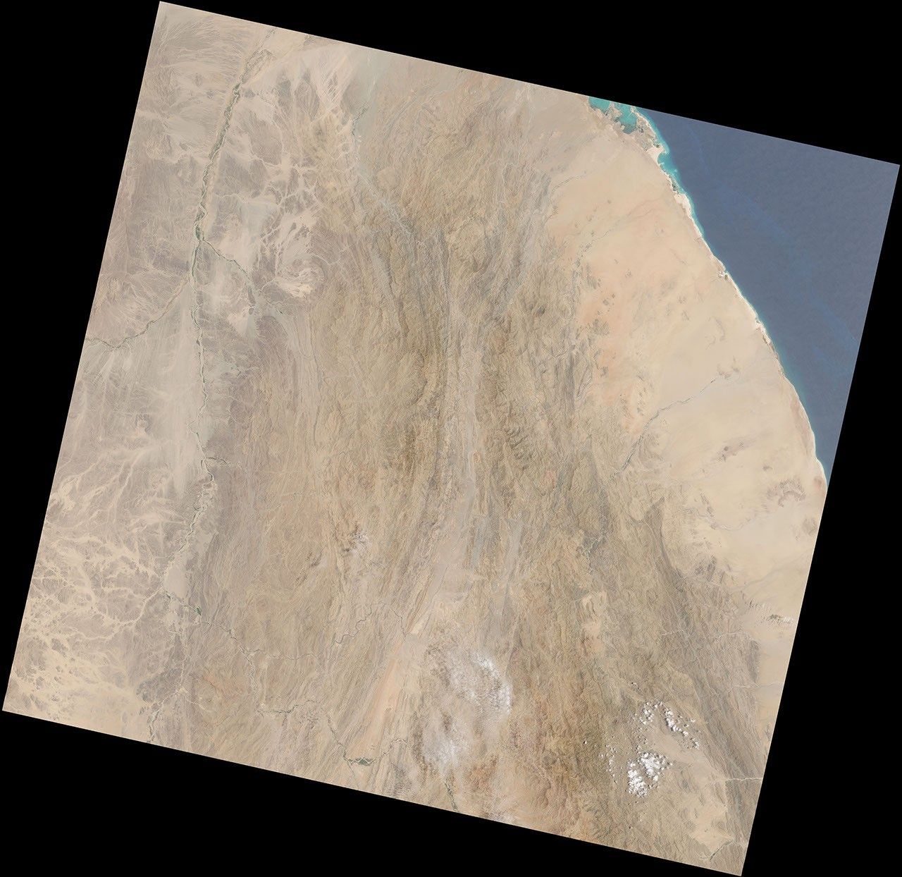
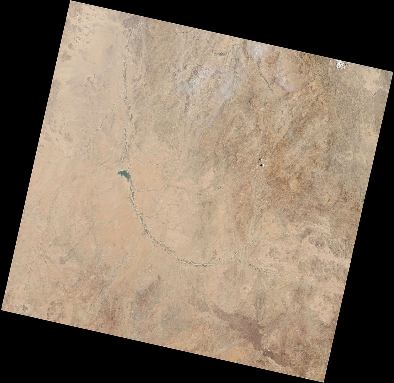
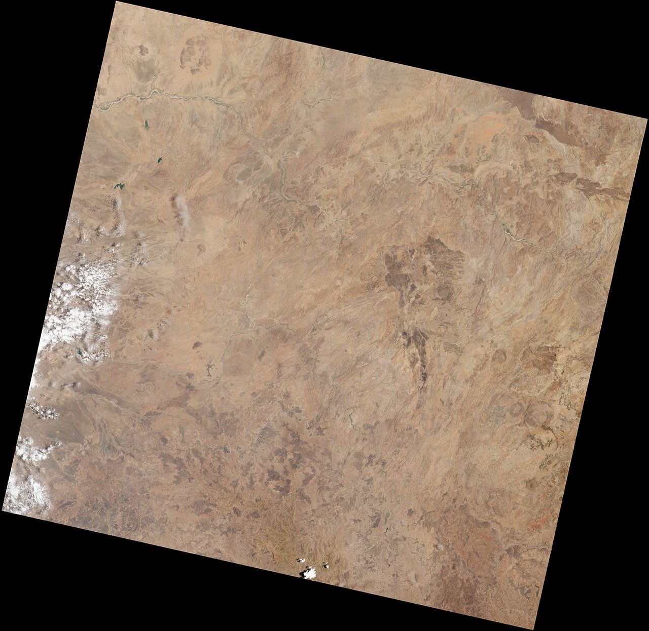
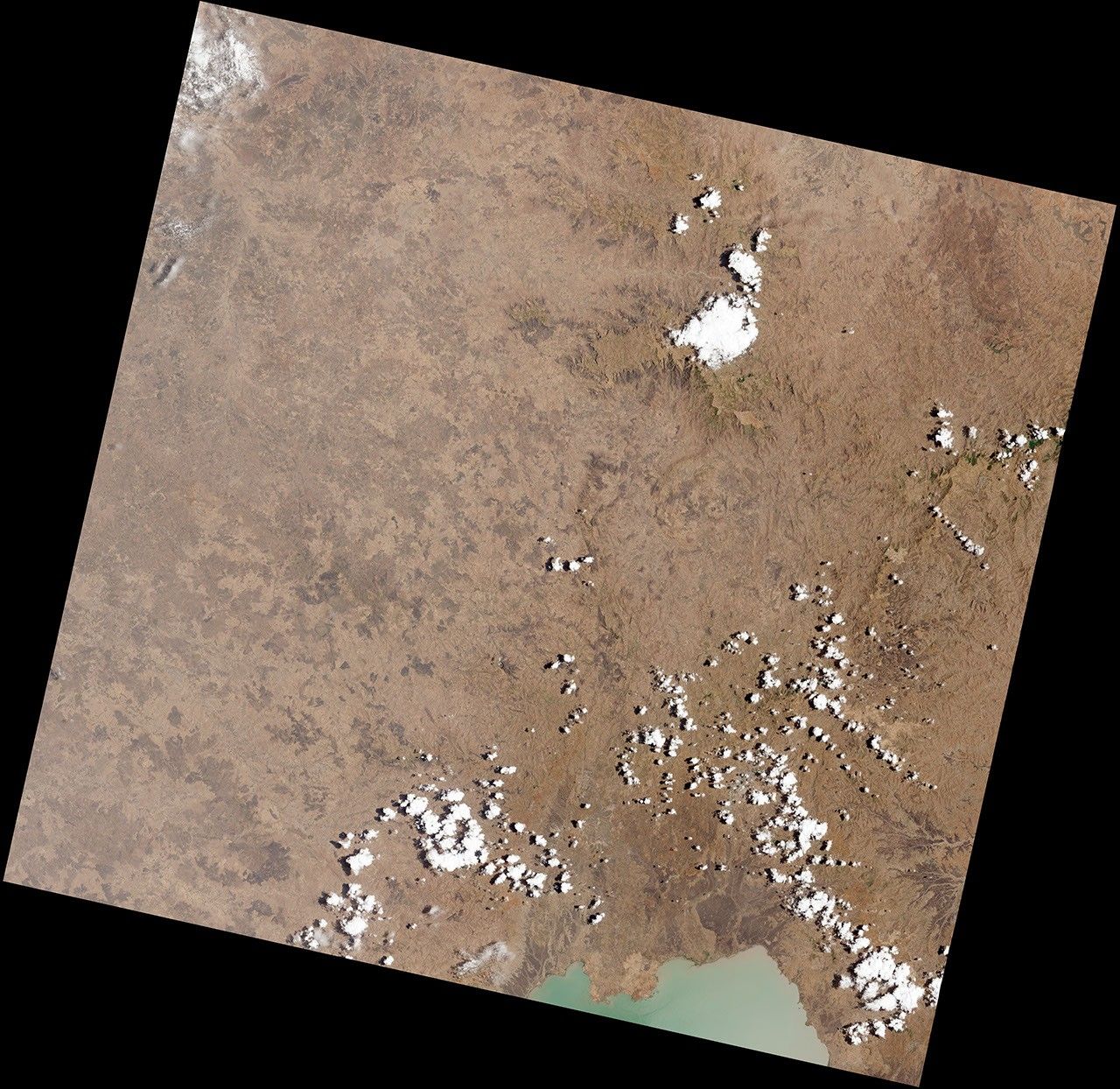
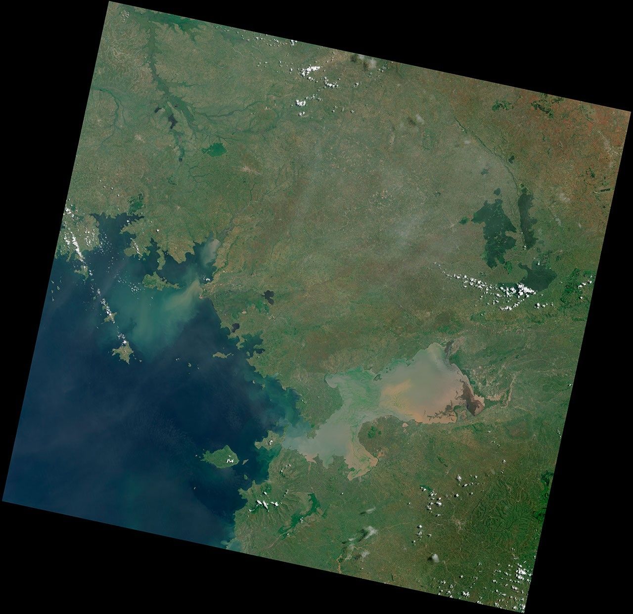
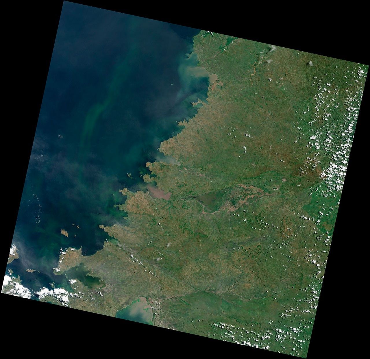
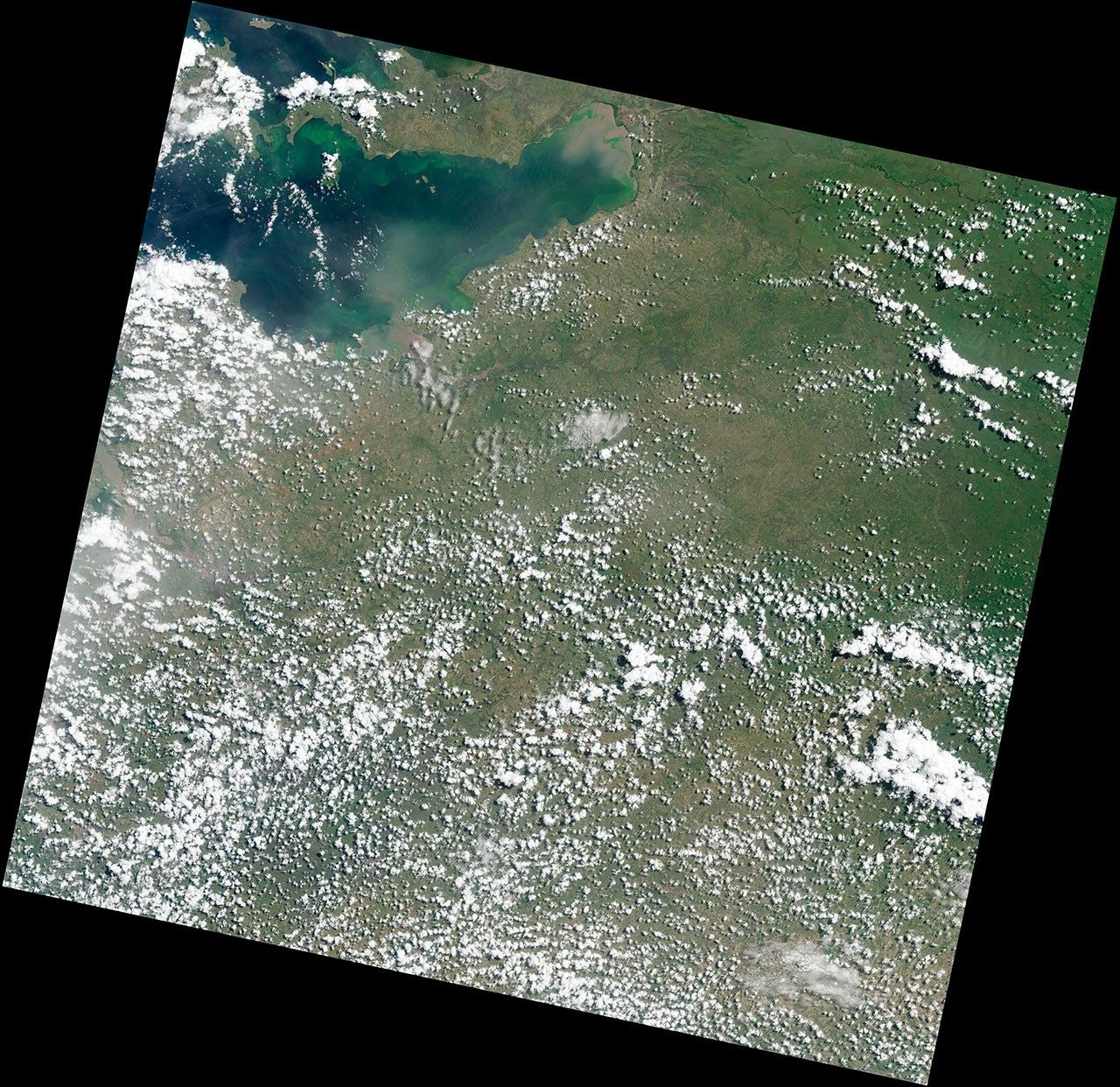
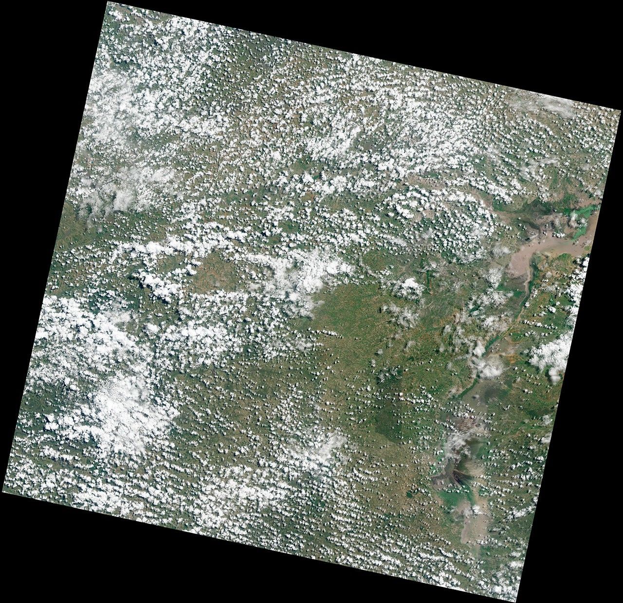
On April 12, 2013, the Landsat Data Continuity Mission (LDCM) reached its final altitude of 705 kilometers (438 miles). One week later, the satellite’s natural-color imager scanned a swath of land 185-kilometers wide and 9,000 kilometers long (120 by 6,000 miles)—an unusual, unbroken distance considering 70 percent of Earth is covered with water. That flight path—depicted on the globe below—afforded us the chance to assemble 56 still images into a seamless, flyover view of what LDCM saw on April 19, 2013. Stretching from Russia to South Africa, the full mosaic can be viewed in the video above and in various still formats linked below—GigaPan, Google Earth KML, and high-resolution images (read more).
Videos and Mosaics
- Tour of the LDCM mosaic (4 minute video)
- Full LDCM swath flyover (15 minute video)
- GigaPan (self-guided tour of high-resolution scenes)
Links
- “Come Fly with Me” (Image of the Day)
- Landsat Data Continuity Mission
- Landsat Science at NASA
- Landsat at USGS
Images
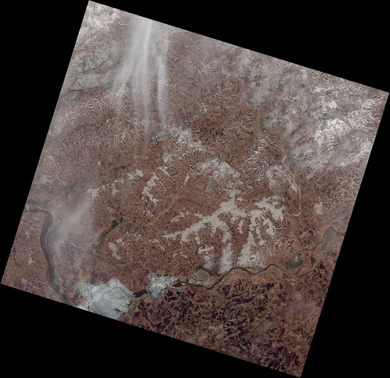
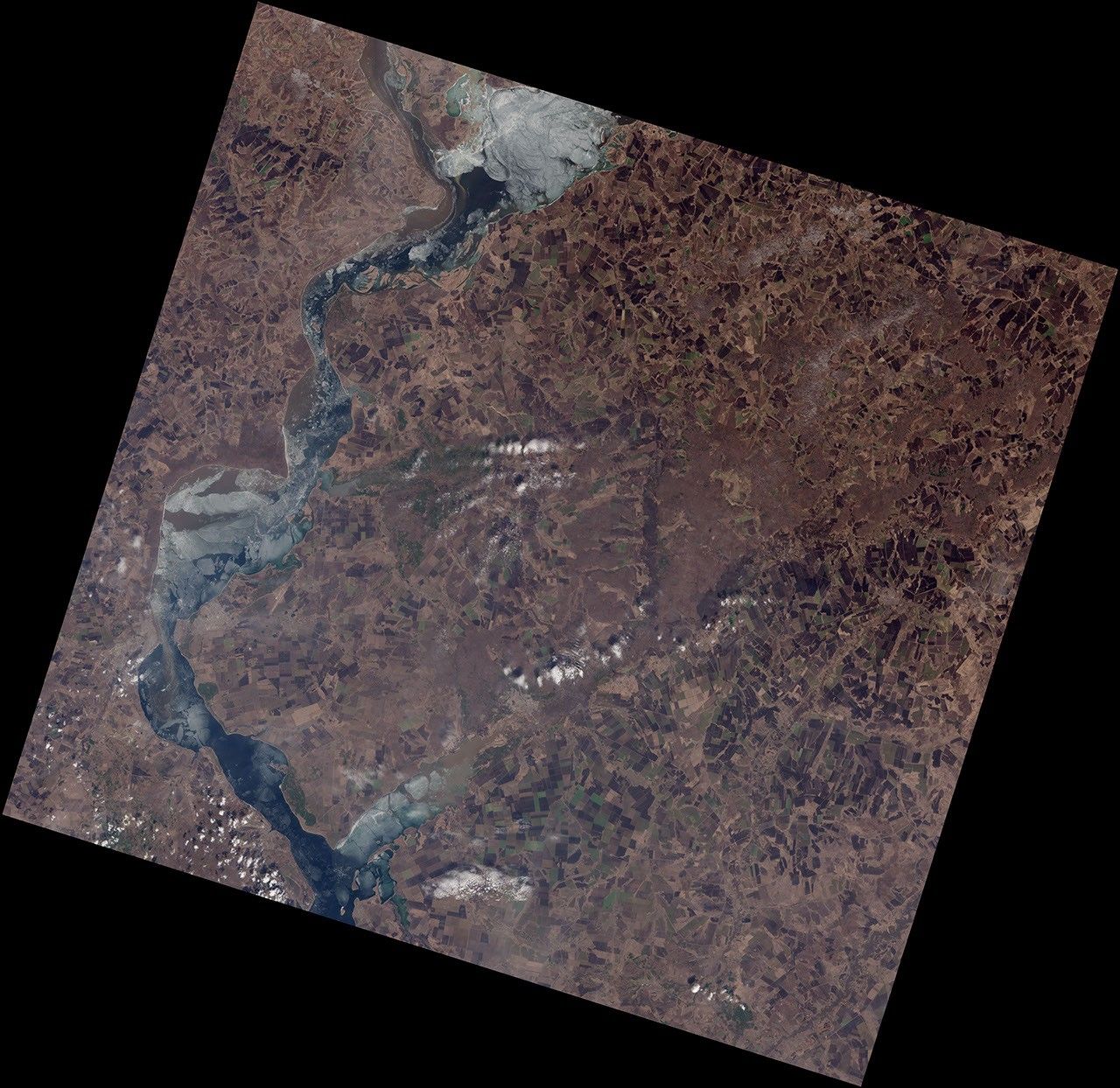
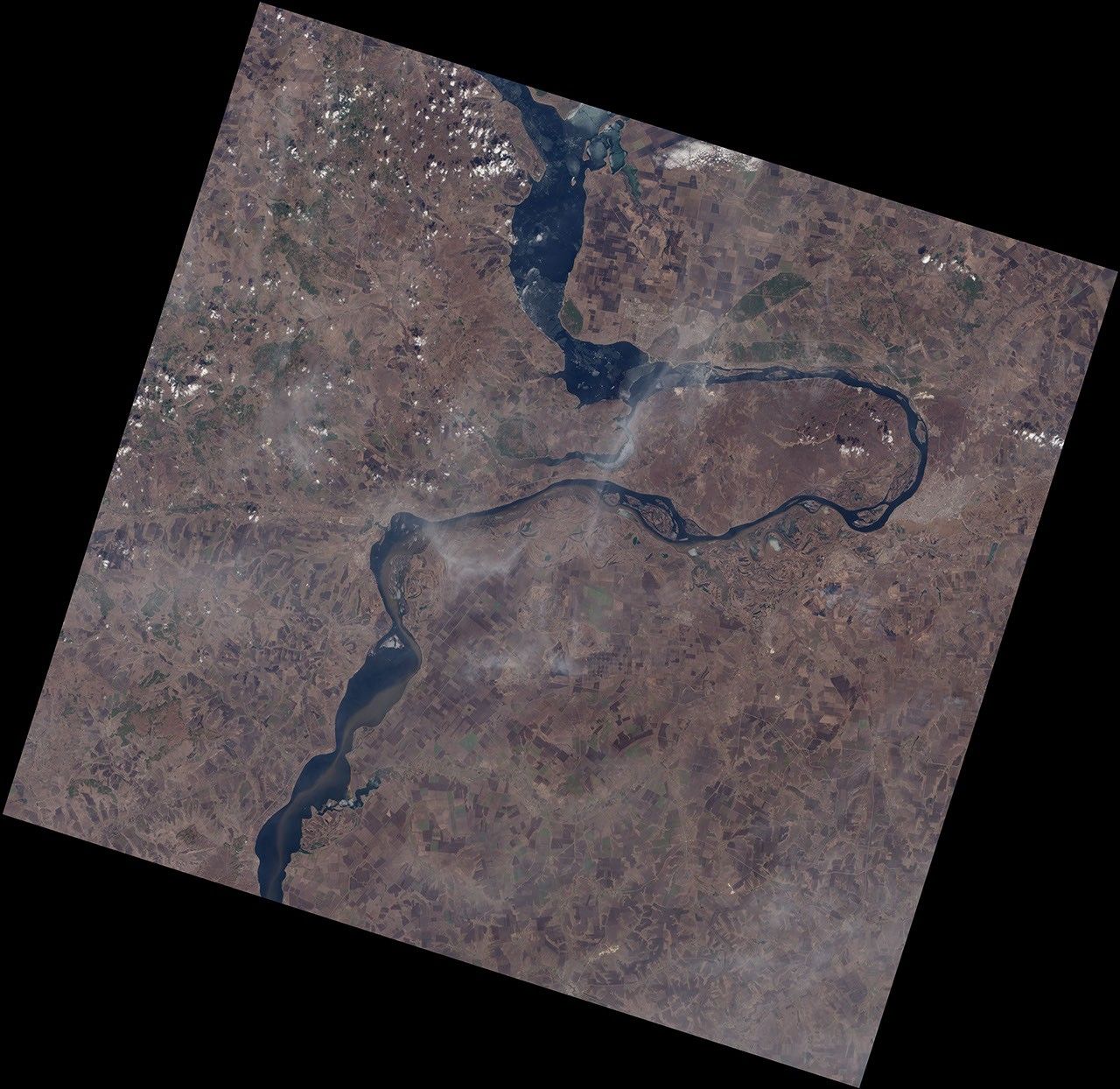
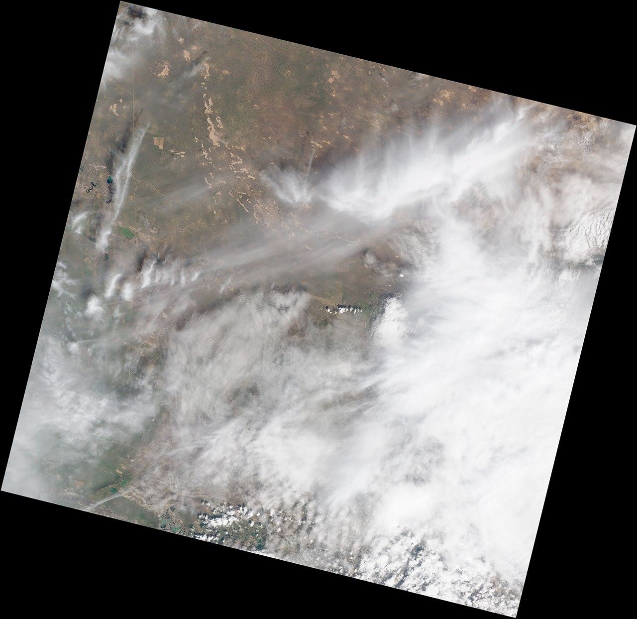
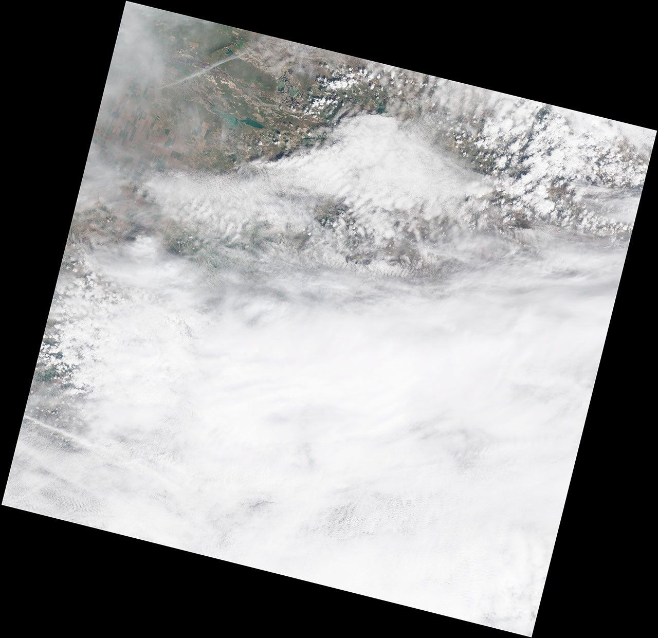
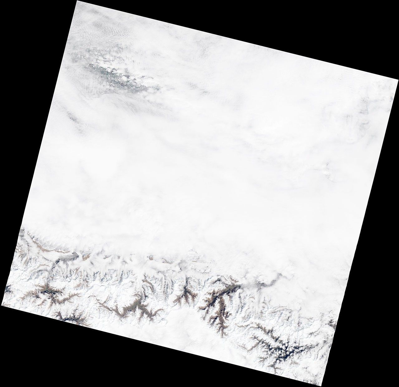
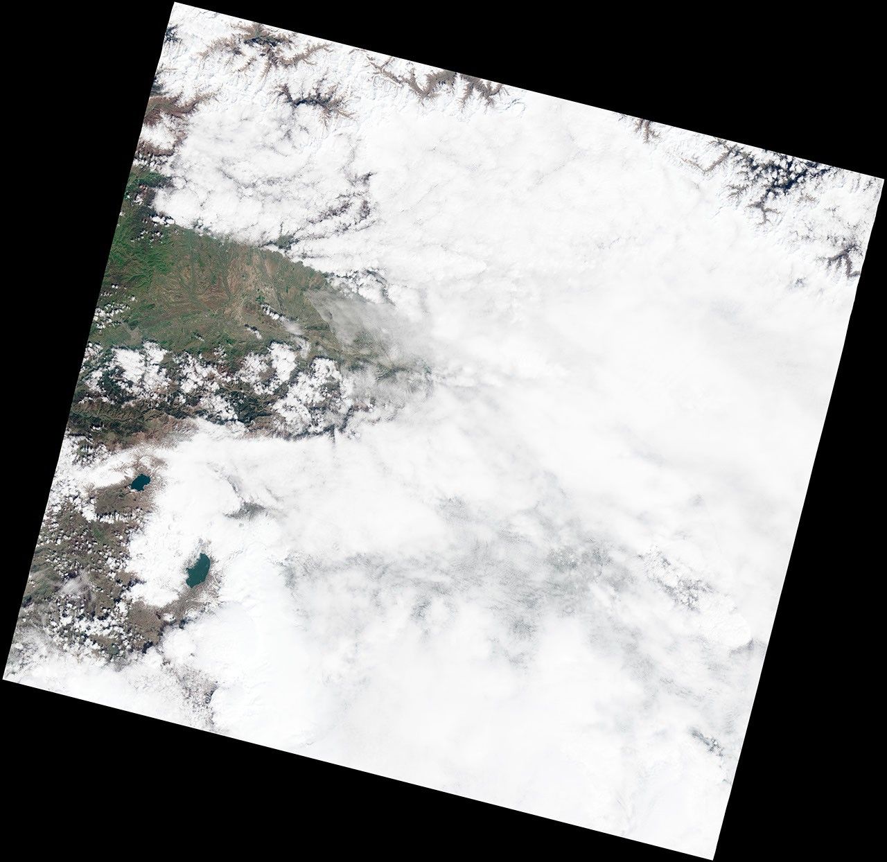
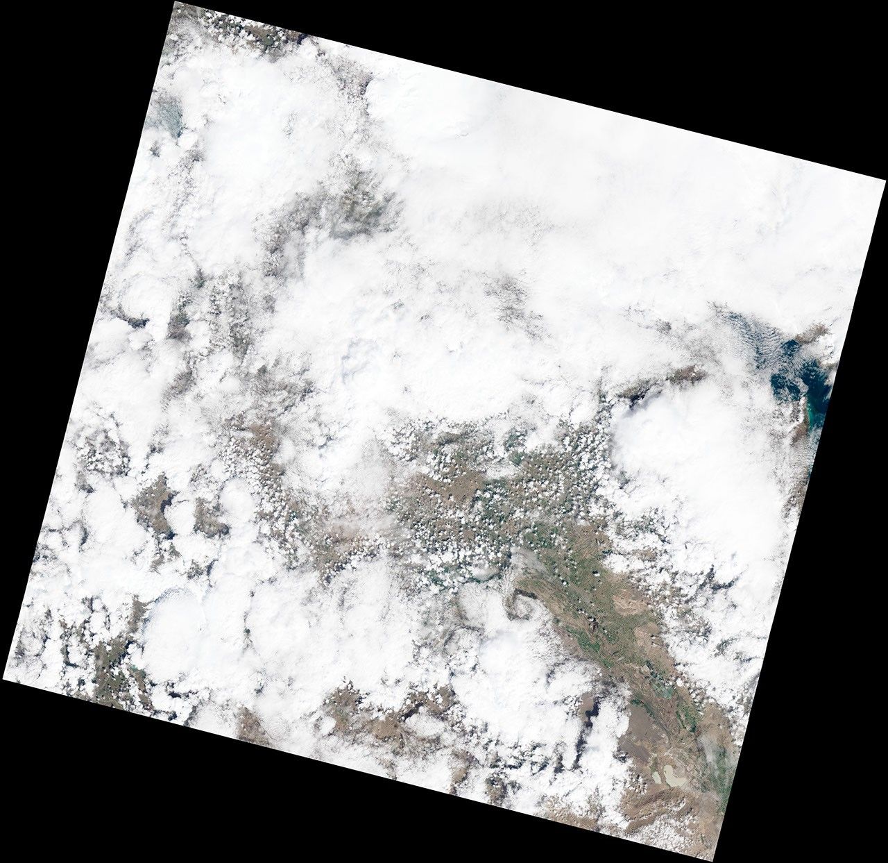
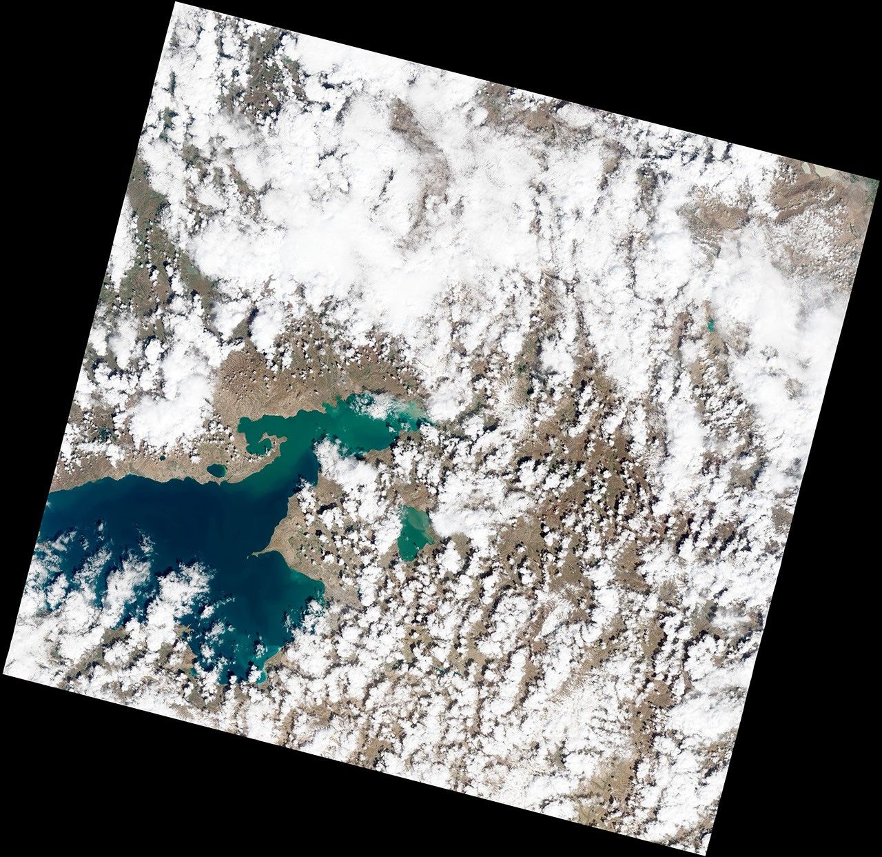
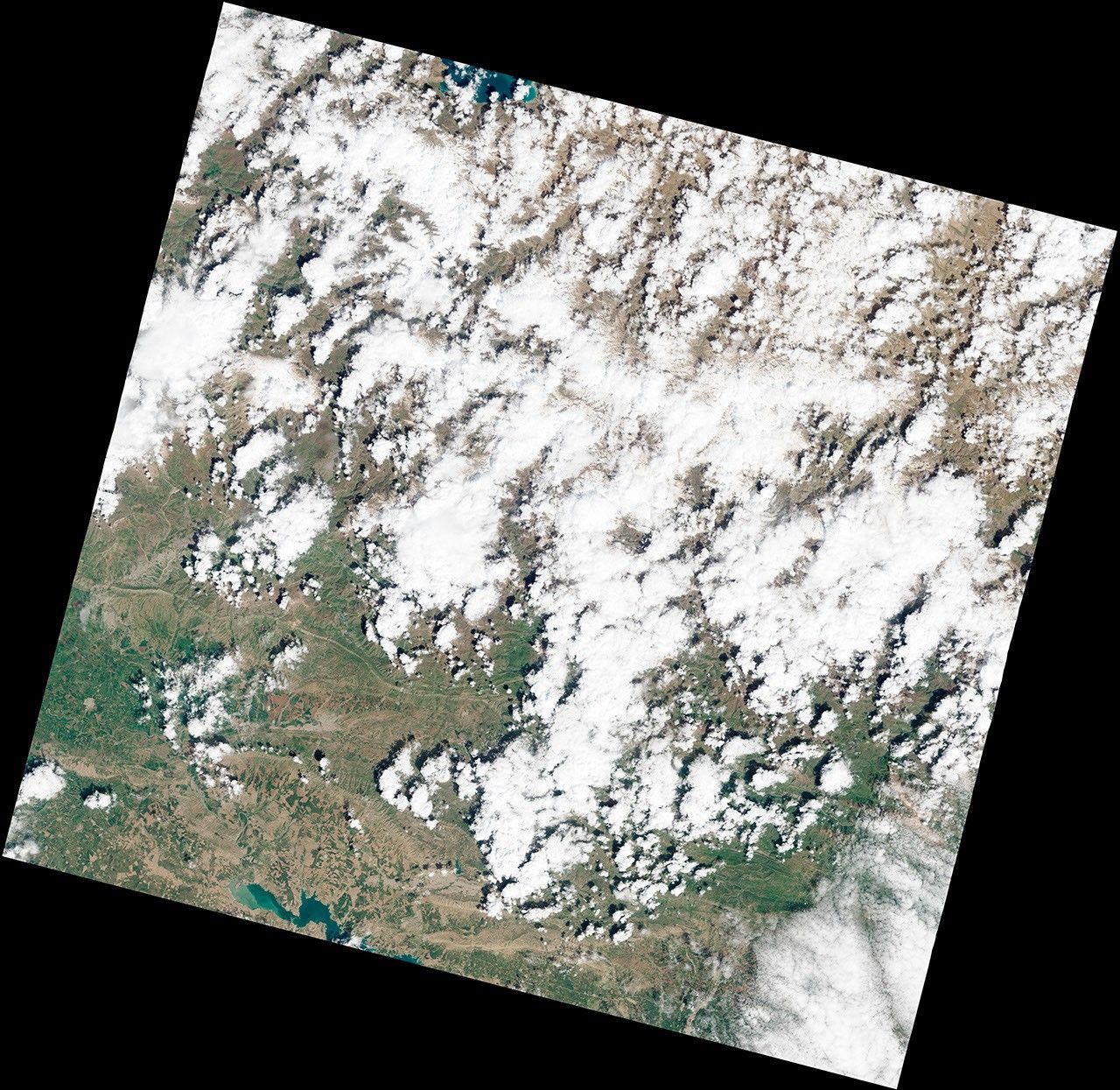
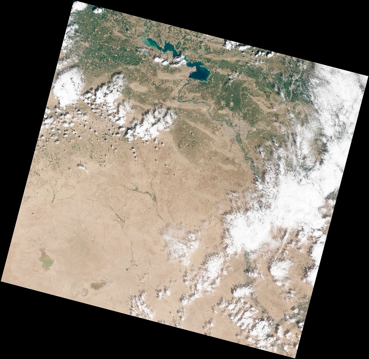
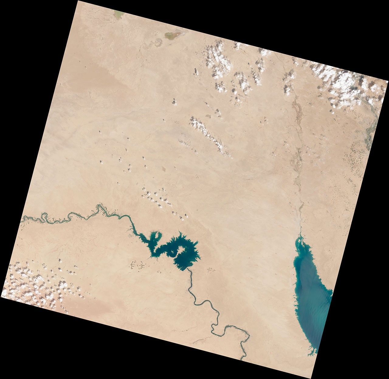
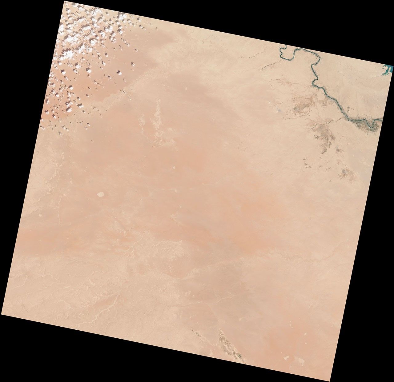
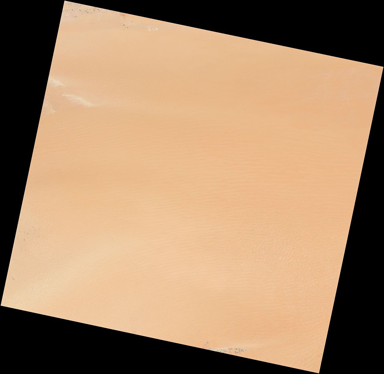
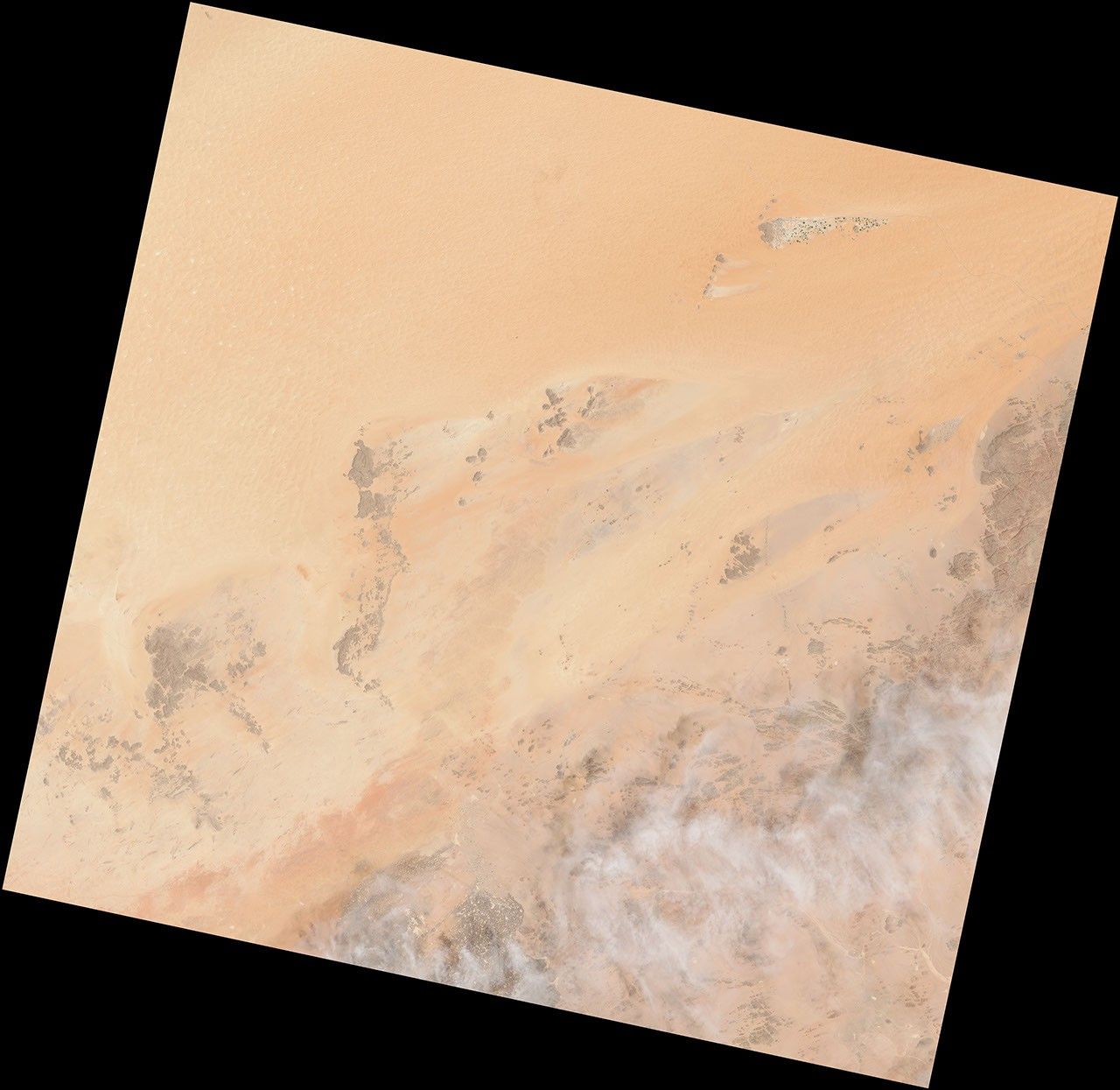
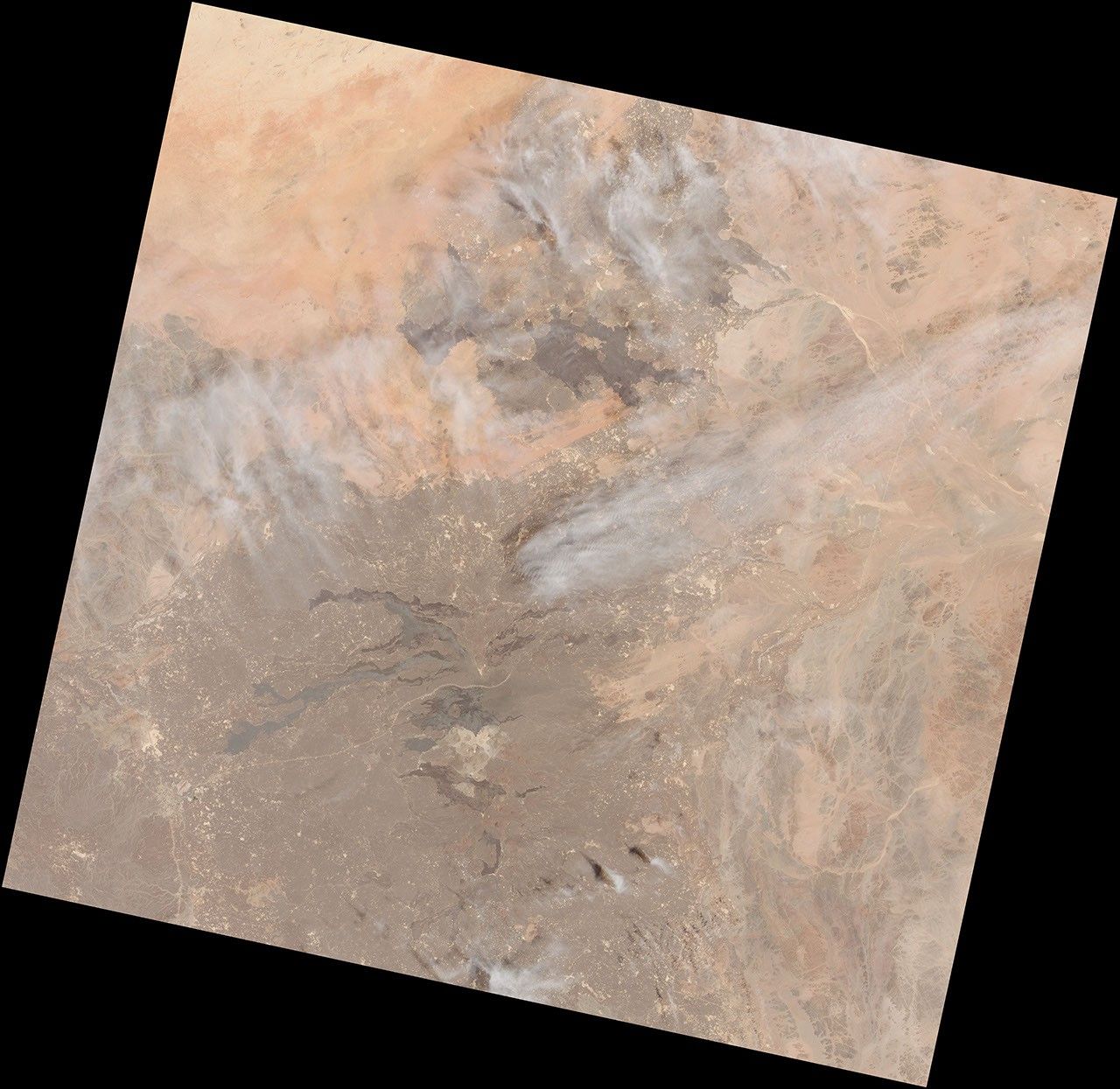
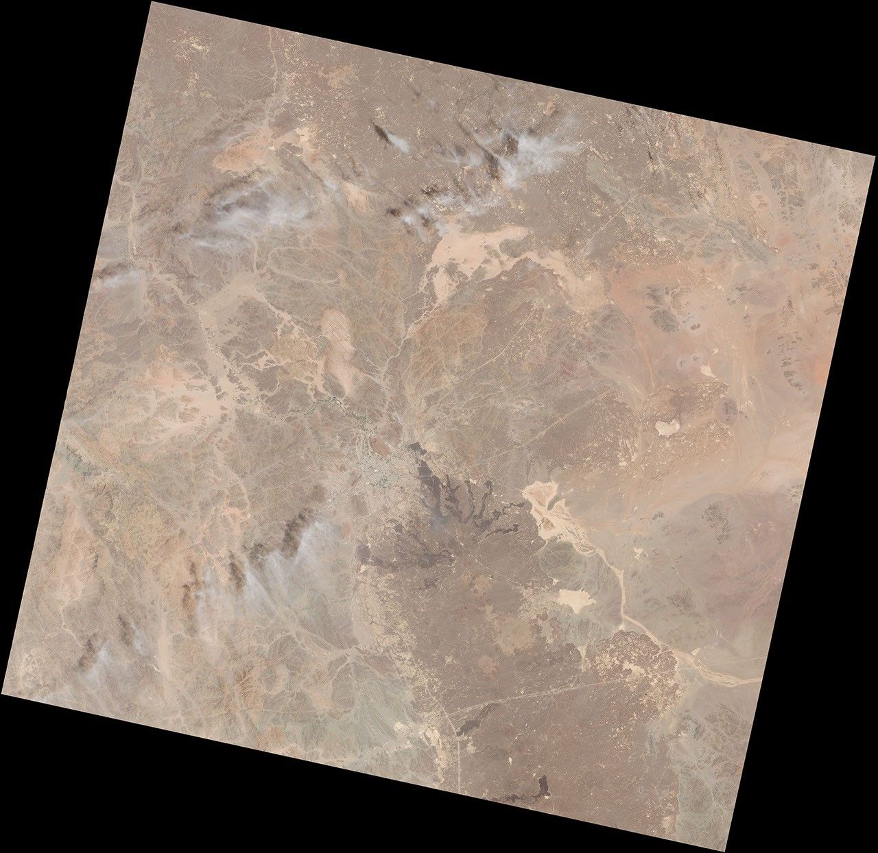
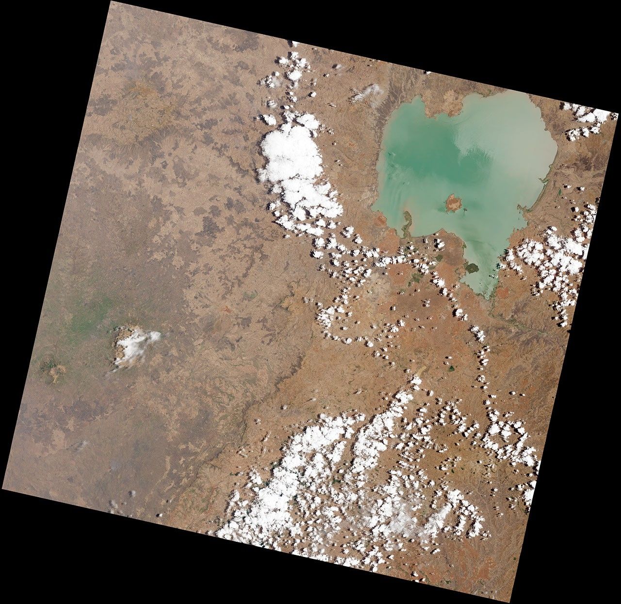
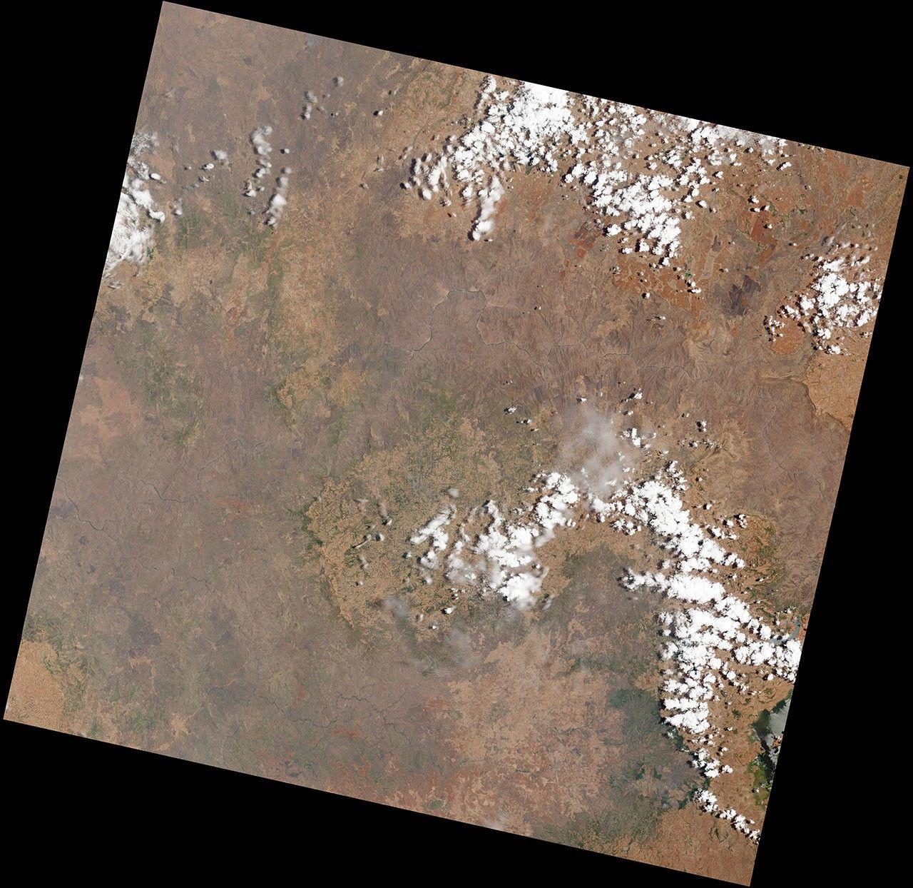
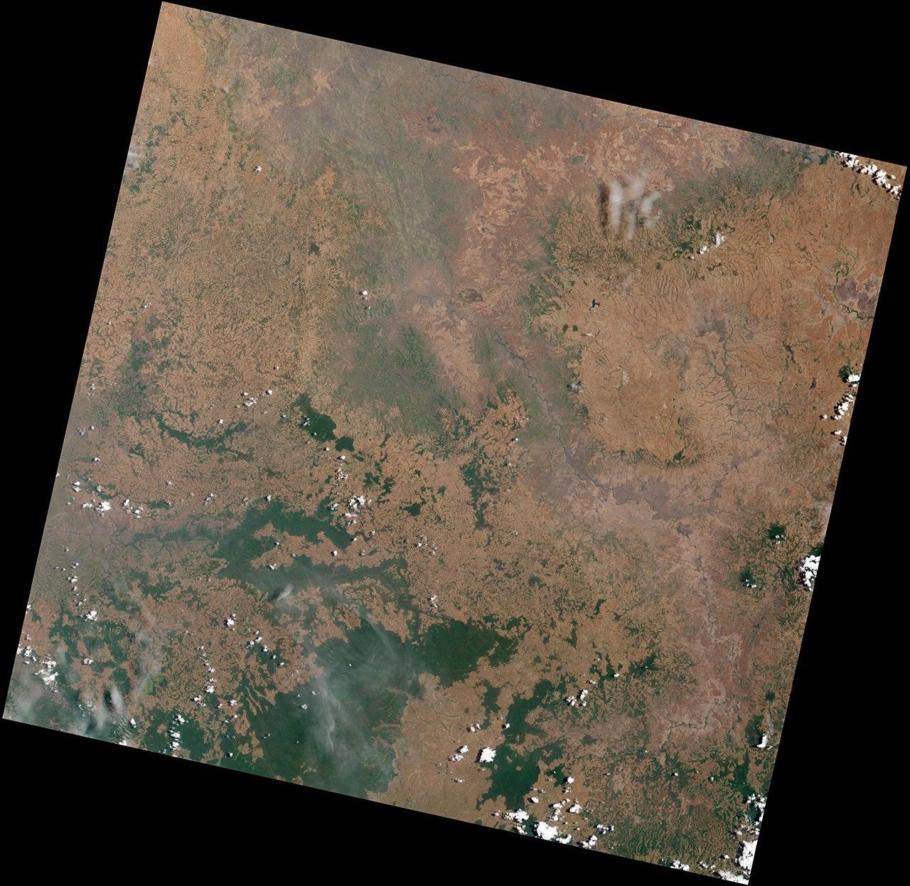
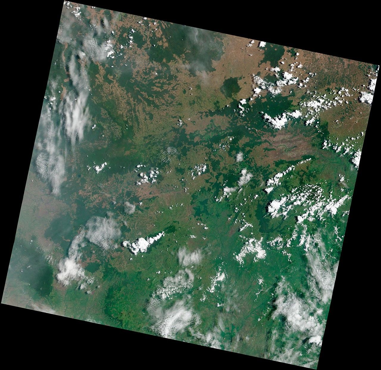
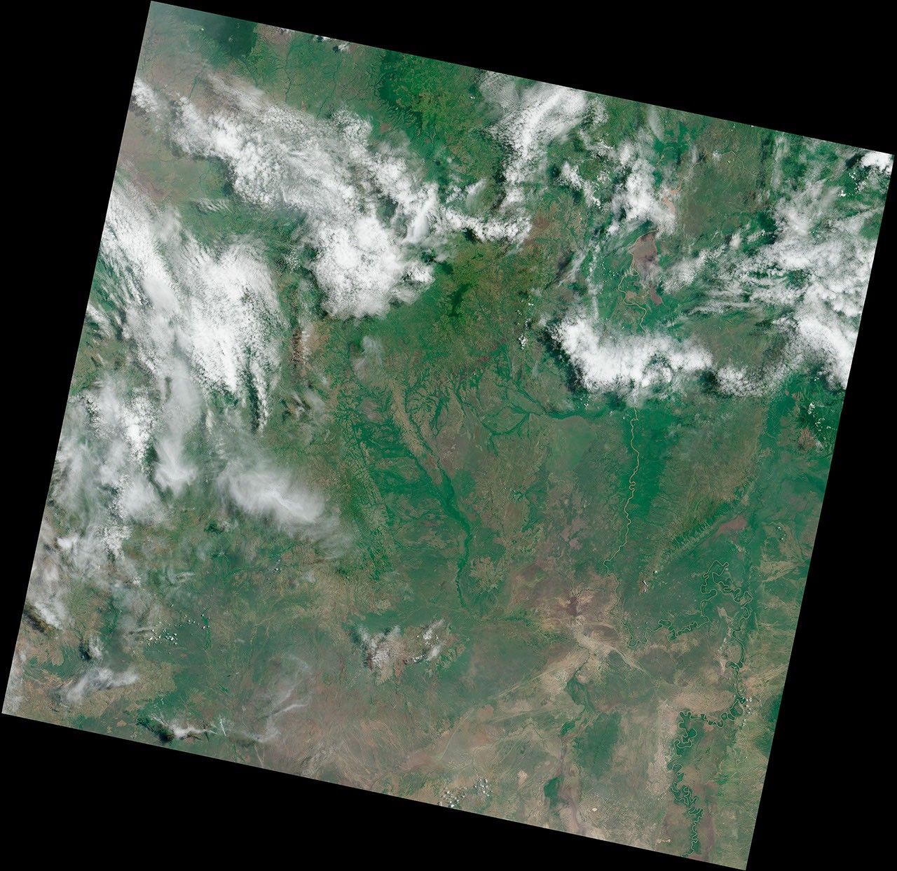
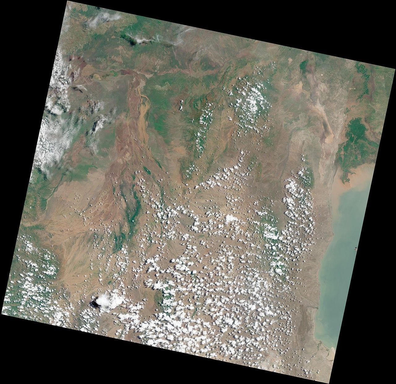
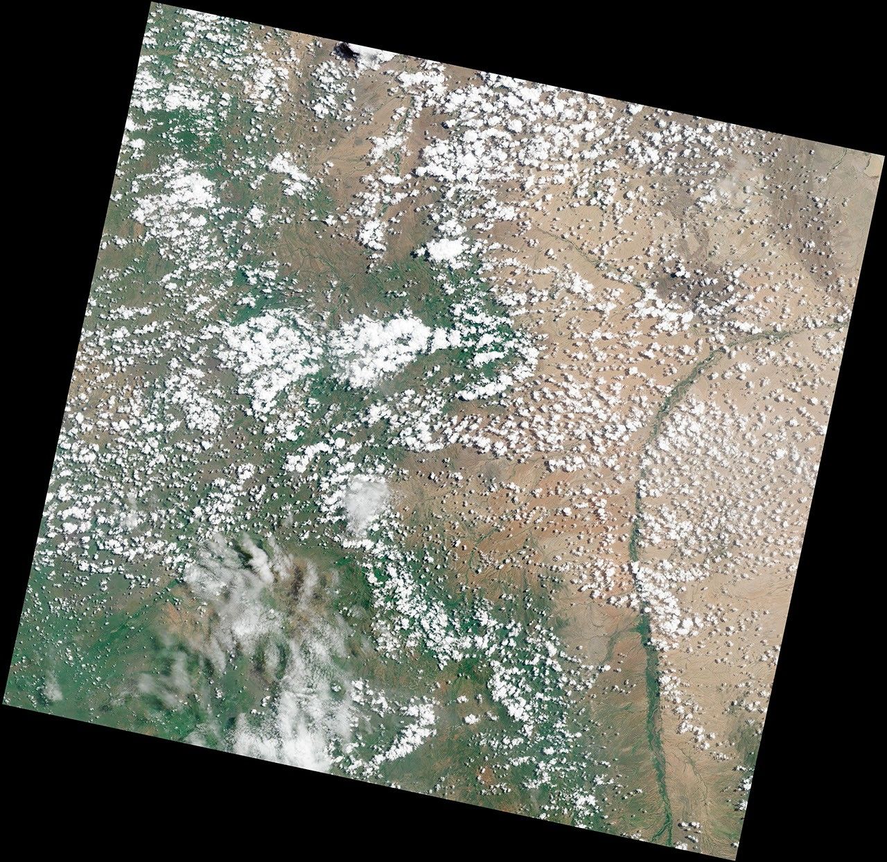
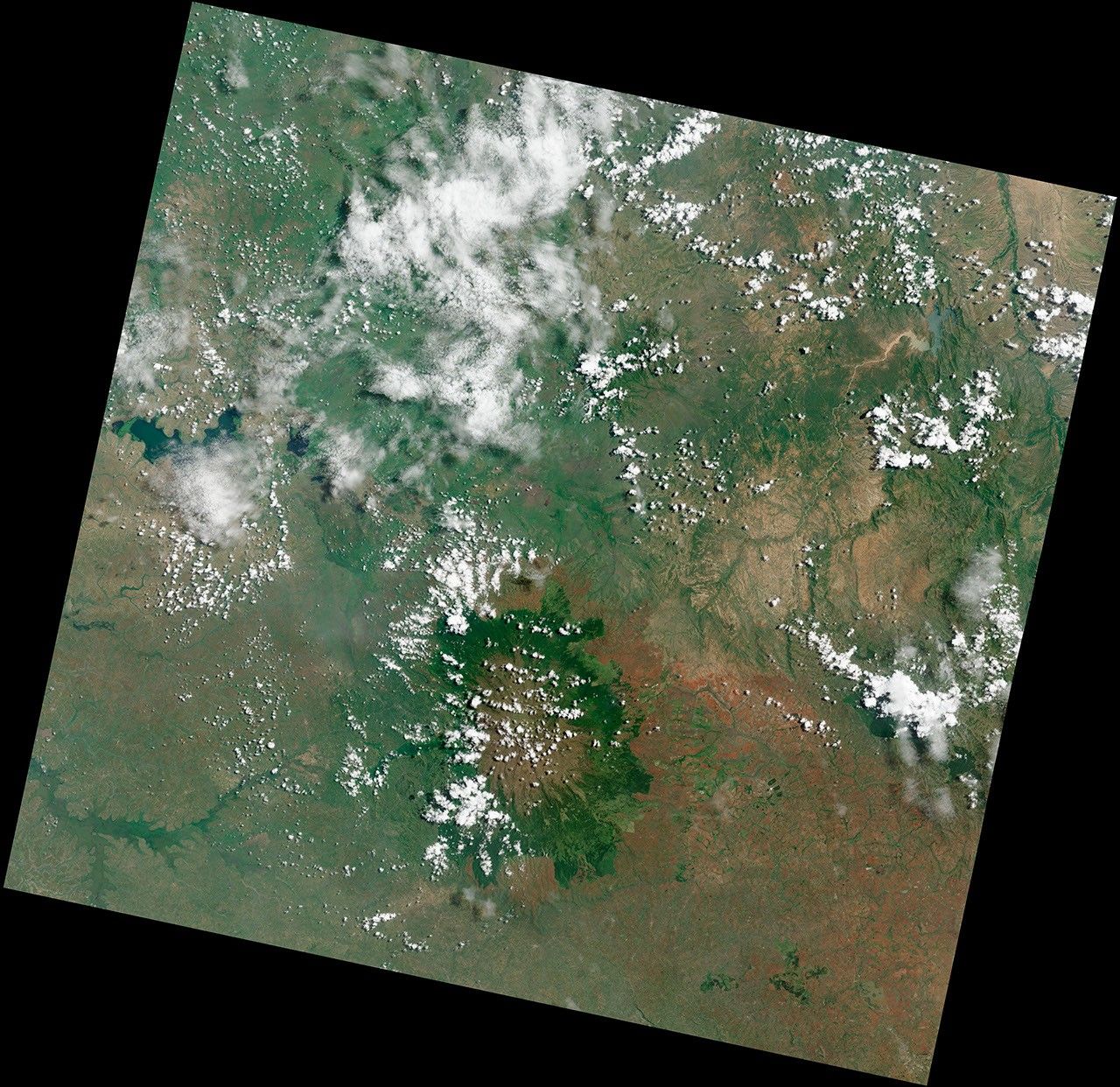
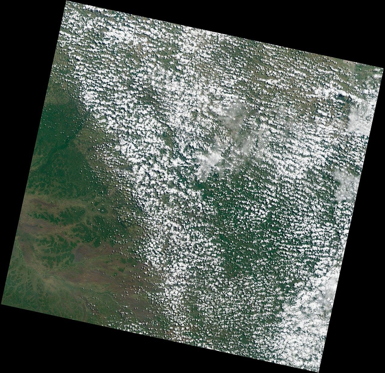
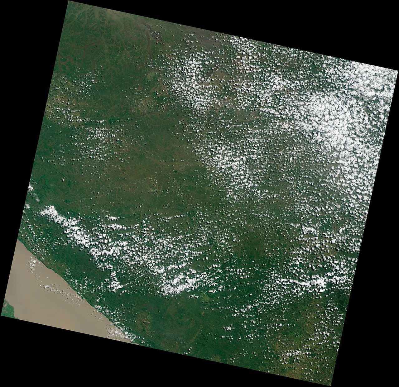
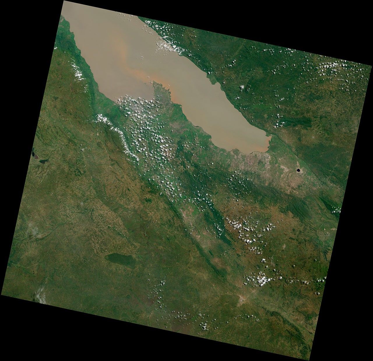
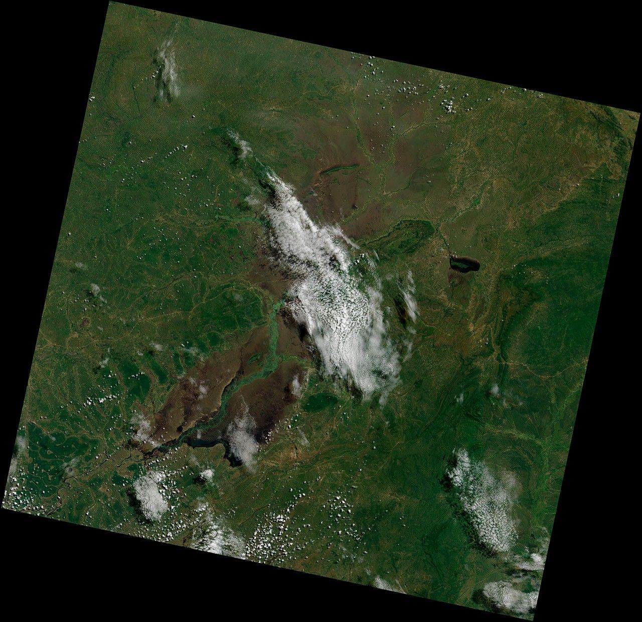
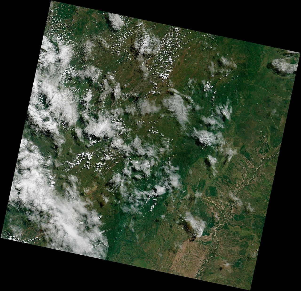
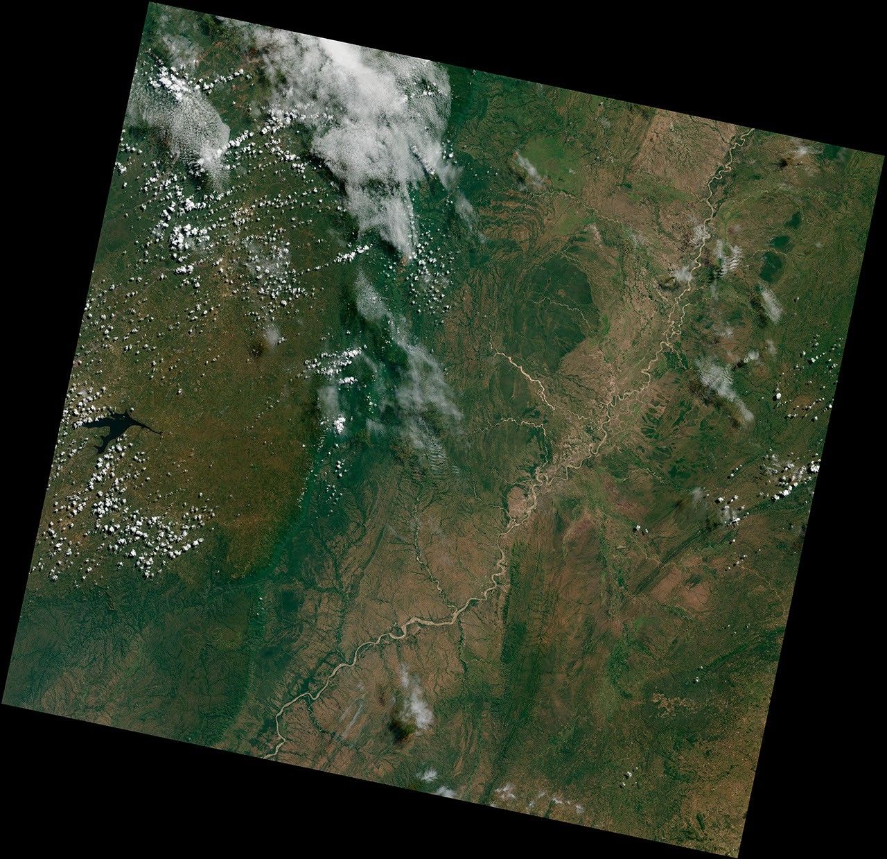
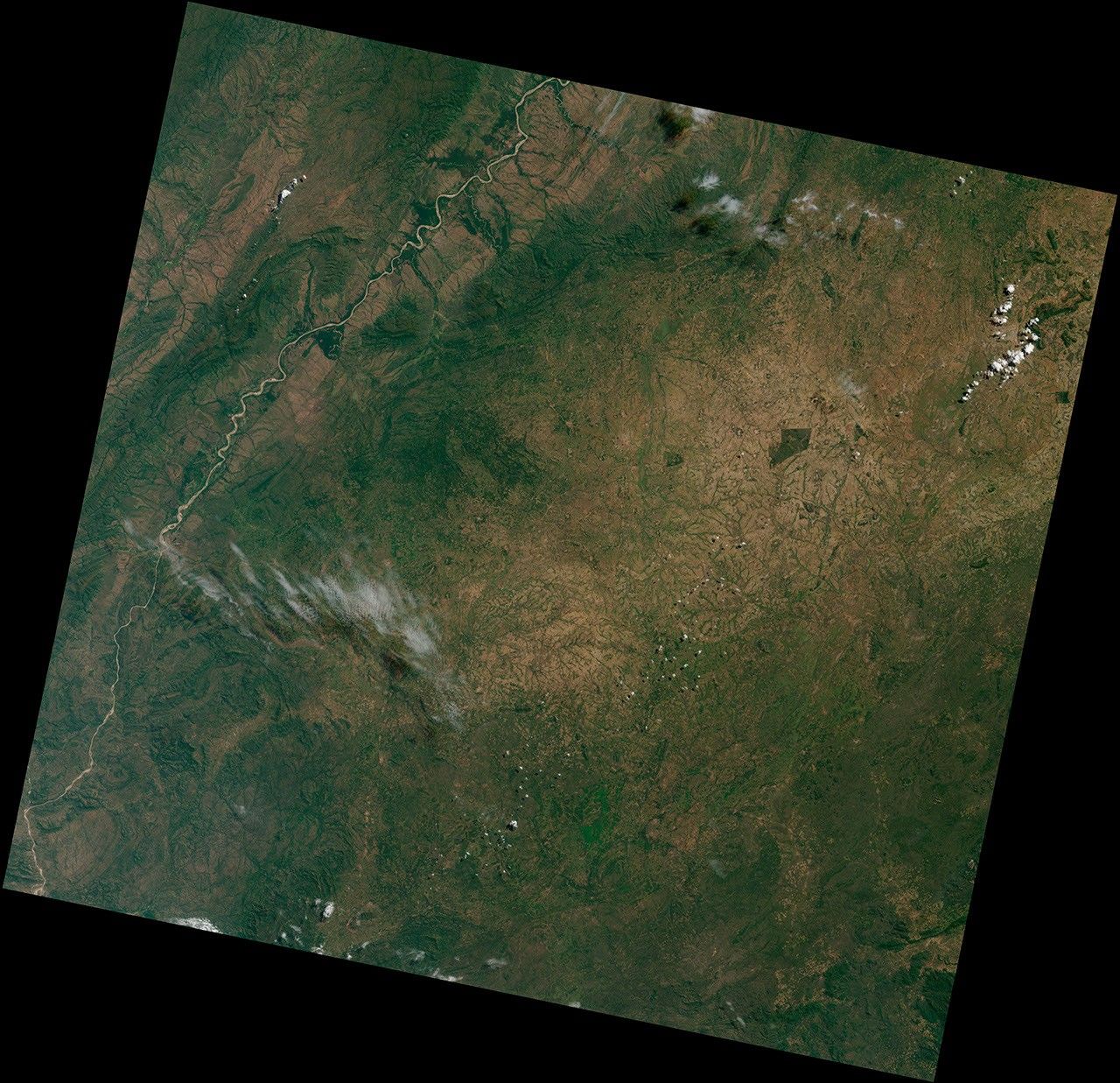
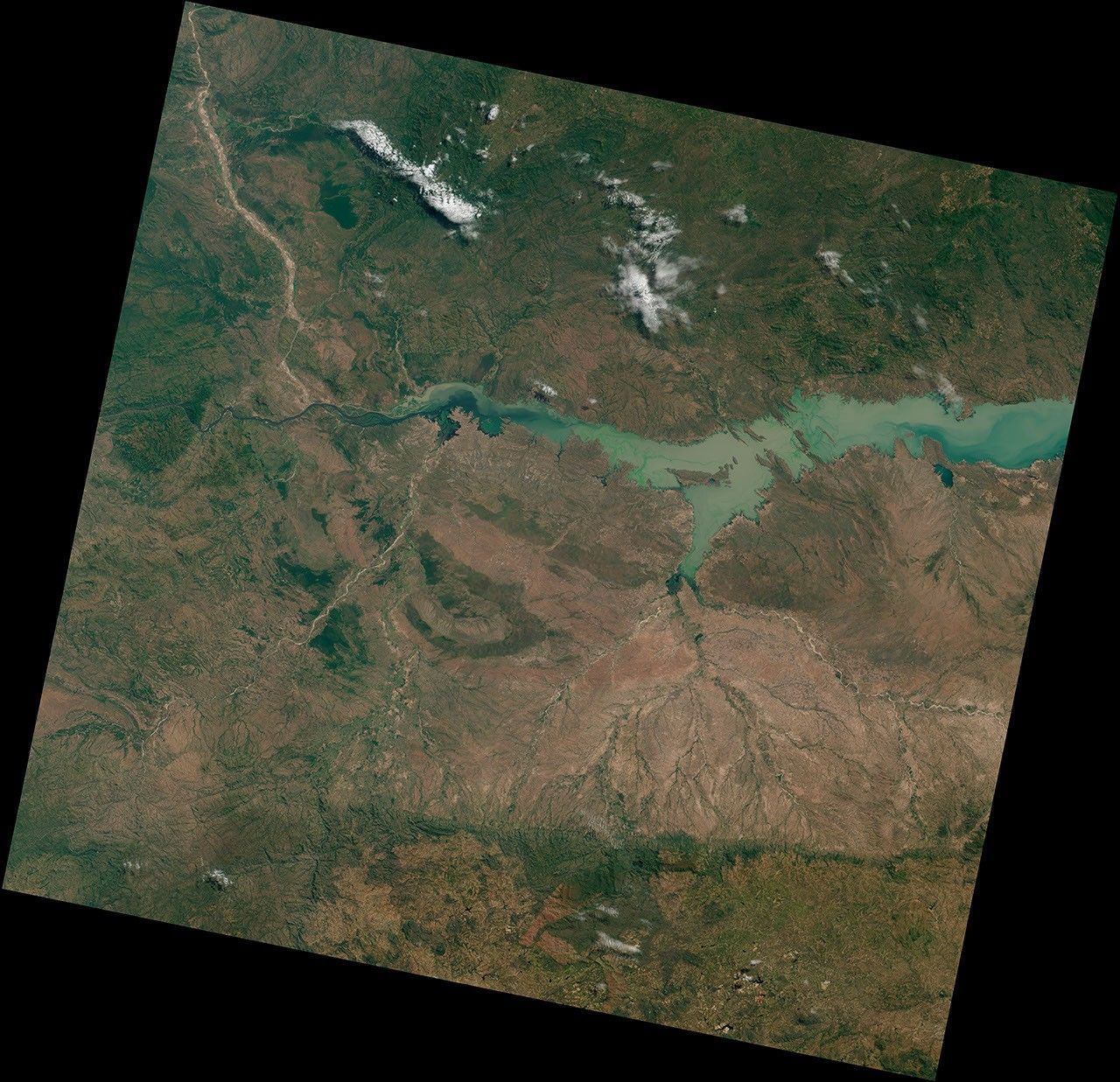
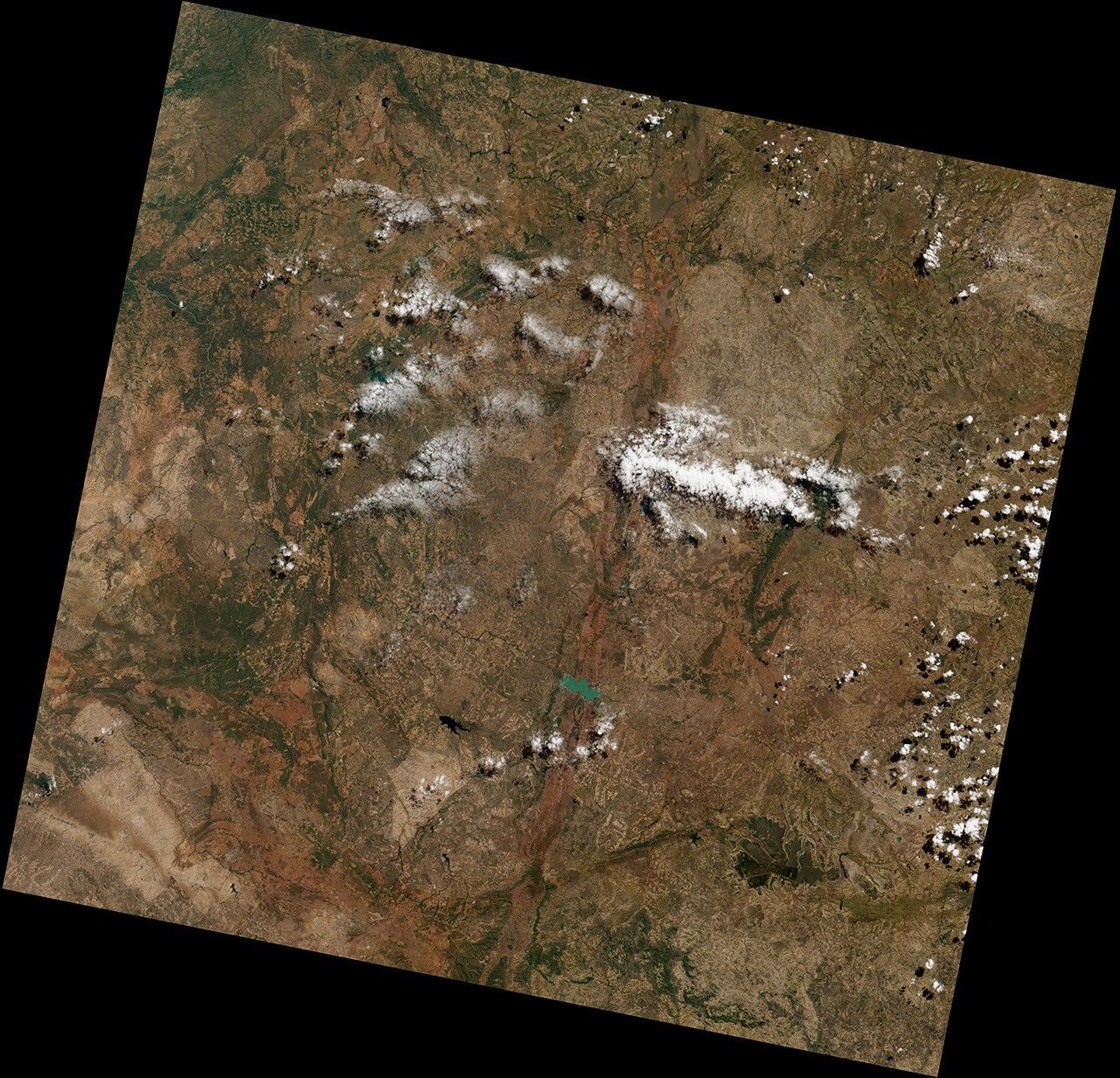
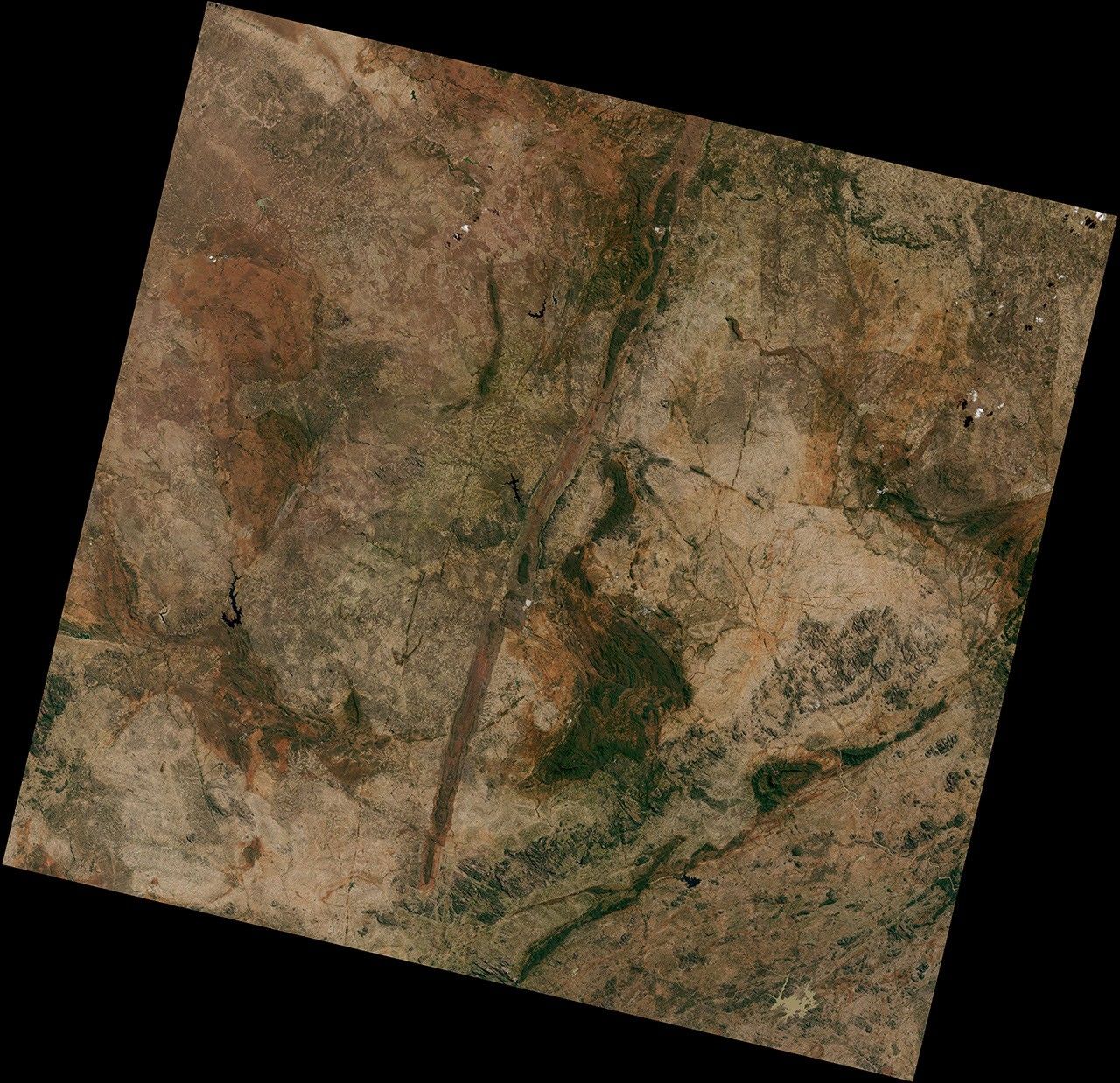
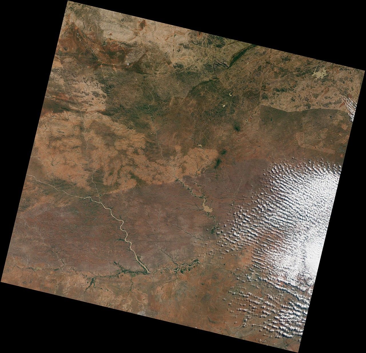
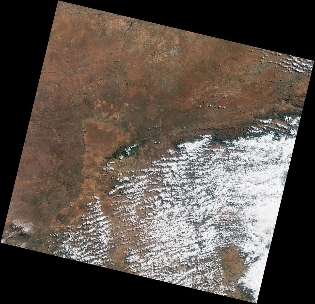
The videos and mosaic were composed from 56 individual scenes acquired by the Operational Land Imager on LDCM. Each scene is available for download below, listed from north to south in the order in which it was taken. The first scene comes from north-central Russia; the last is from South Africa.

NASA Earth Observatory story visuals and texts by Matt Radcliff, Rob Simmon, Jesse Allen and Holli Riebeek. Design by Paul Przyborski.


