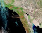


















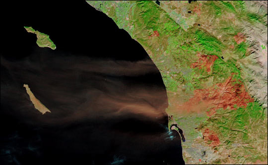
October’s massive wildfires in Southern California stripped the ground of the vegetation that holds dirt in place. The freshly exposed soil and the overlying ashes are vulnerable to winds, as this false color Moderate Resolution Imaging Spectroradiometer (MODIS) image shows. Here, a red plume of dust and ash is blowing over the Pacific Ocean and San Clemente Island. In this image, newly burned areas appear red while vegetation is green, water is black, and clouds are light blue. The dust is clearly coming from the burn scar left by the Cedar fire near San Diego. The Terra satellite captured this image on November 27, 2003.
The high-resolution image provided above is at MODIS’s maximum resolution of 250 meters per pixel. The image is available in additional resolutions.
References & Resources
Image courtesy Jacques Descloitres, MODIS Rapid Response Team at NASA GSFC