


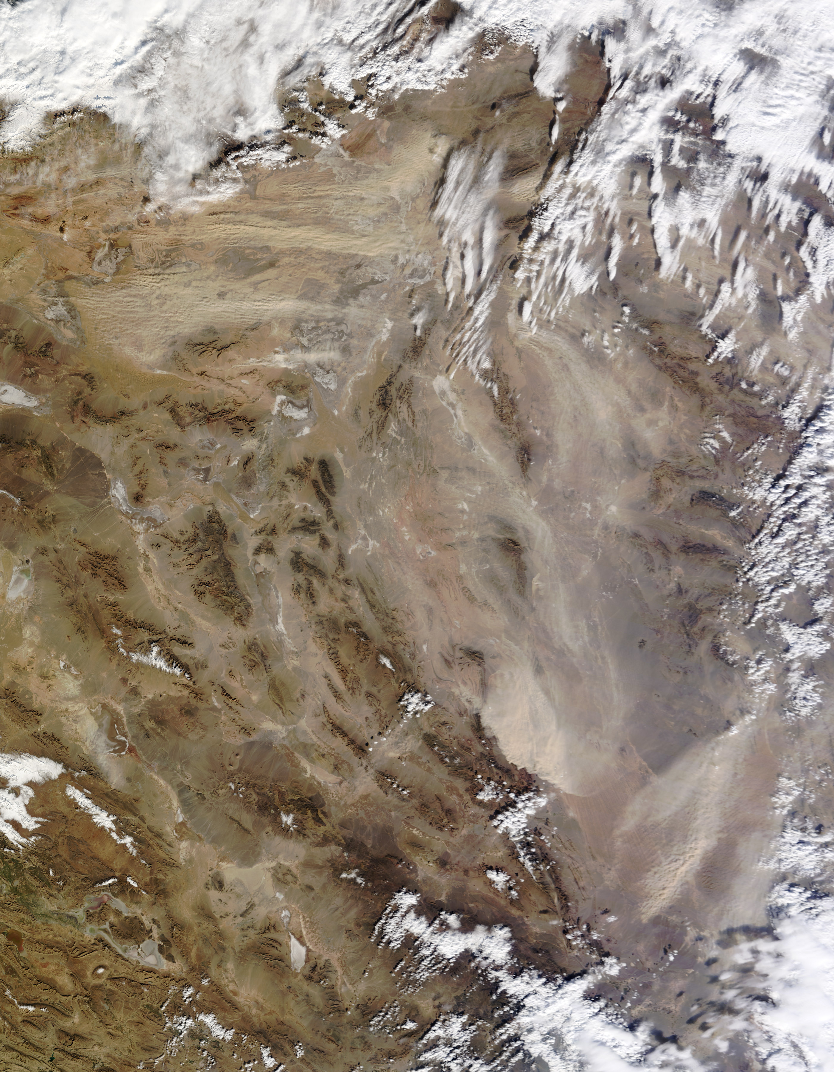
On January 11, 2013, a dust storm struck Iran’s Dasht-e Kavir, or Kavir Desert. The Moderate Resolution Imaging Spectroradiometer (MODIS) on NASA’s Terra satellite captured this natural-color image the same day. Dust plumes blew eastward, many of them arising from discrete source points.
In eastern Iran, dust plumes blew southward, passing over the diverse terrain of the Dasht-e Lut in the southeastern part of the country. (The dust plumes in eastern Iran can be seen in the high-resolution image.)
Situated on the Iranian Plateau, southeast of Tehran, Dasht-e Kavir is known as the Great Salt Desert. The plateau’s landscapes include gravel plains, sand dunes, small streams, and salt flats. Dasht-e Kavir typically sees less than 100 millimeters (4 inches) of precipitation a year, and the region has no major water bodies. It is considered one of the hottest places on Earth. This area lies within a broad band of prolific dust-producing land stretching from the Sahara Desert in the west to the Gobi Desert in the east.
References & Resources
- Freshwater Ecoregions of the World. (2012, August 18) Kavir and Lut Deserts. Accessed January 14, 2013.
- University Corporation for Atmospheric Research. Forecasting Dust Storms. (Registration required).
NASA image courtesy Jeff Schmaltz, LANCE MODIS Rapid Response. Caption by Michon Scott.


