


Earth at Night/Black Marble: Flat Maps
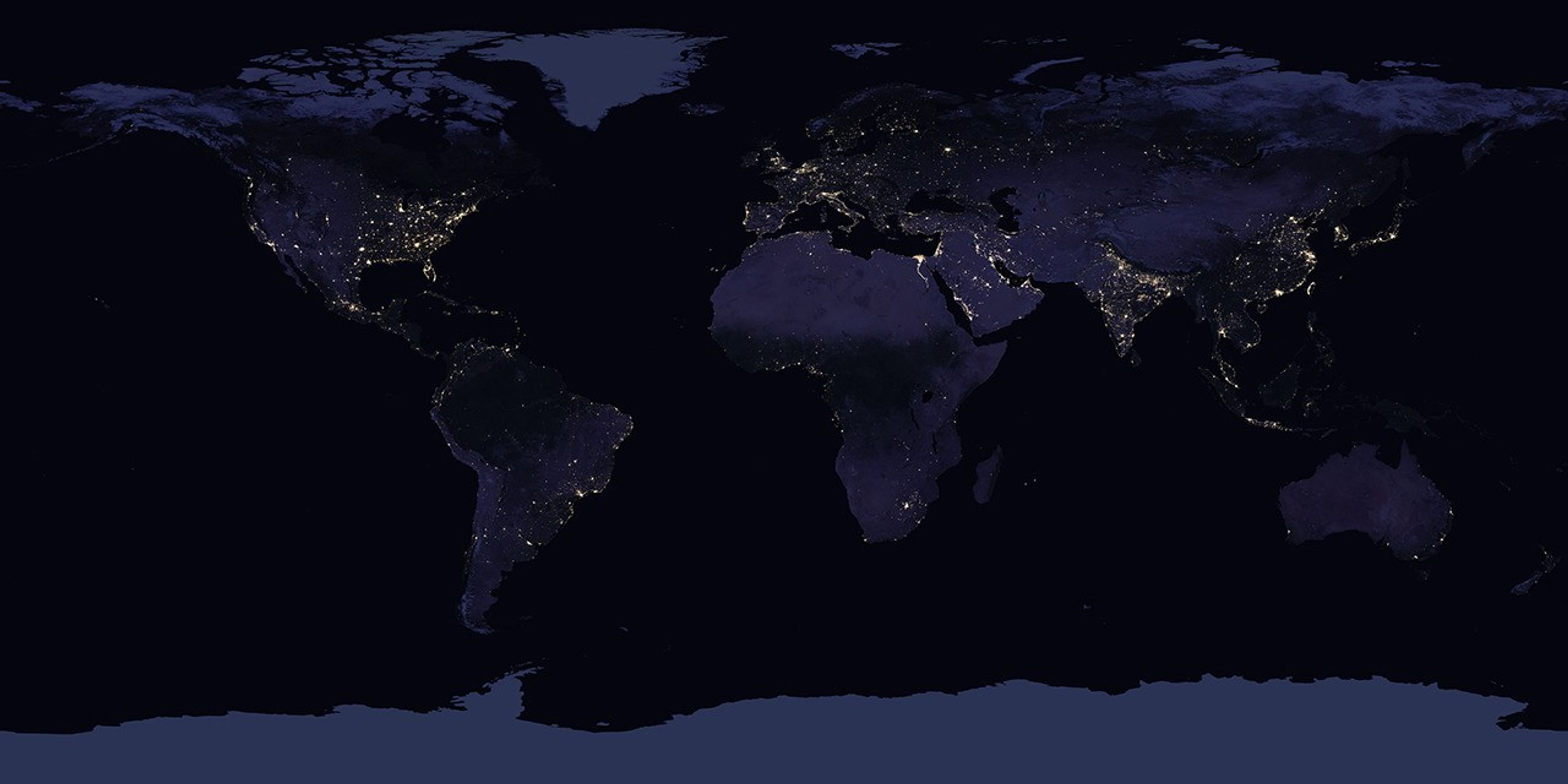
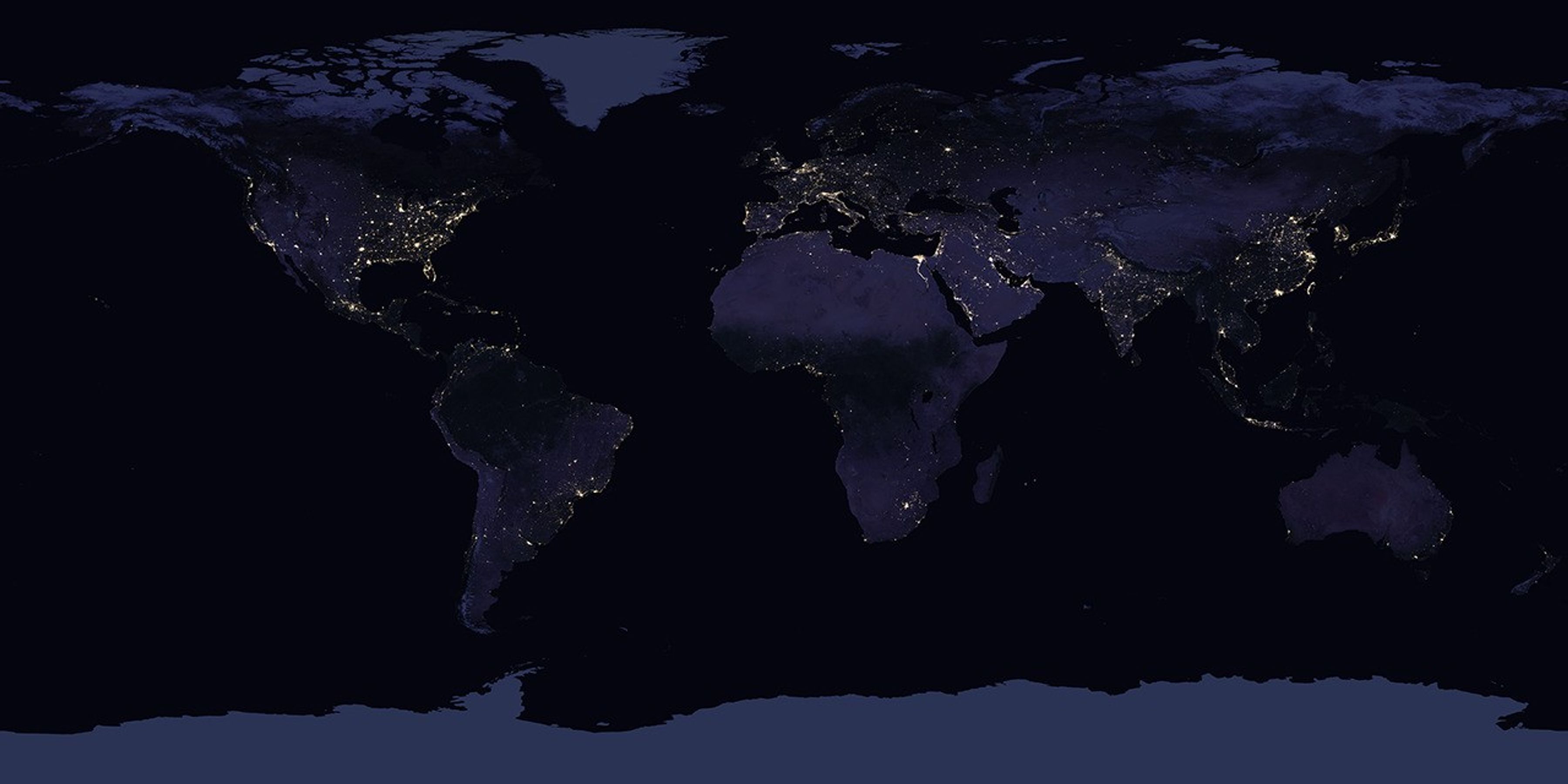
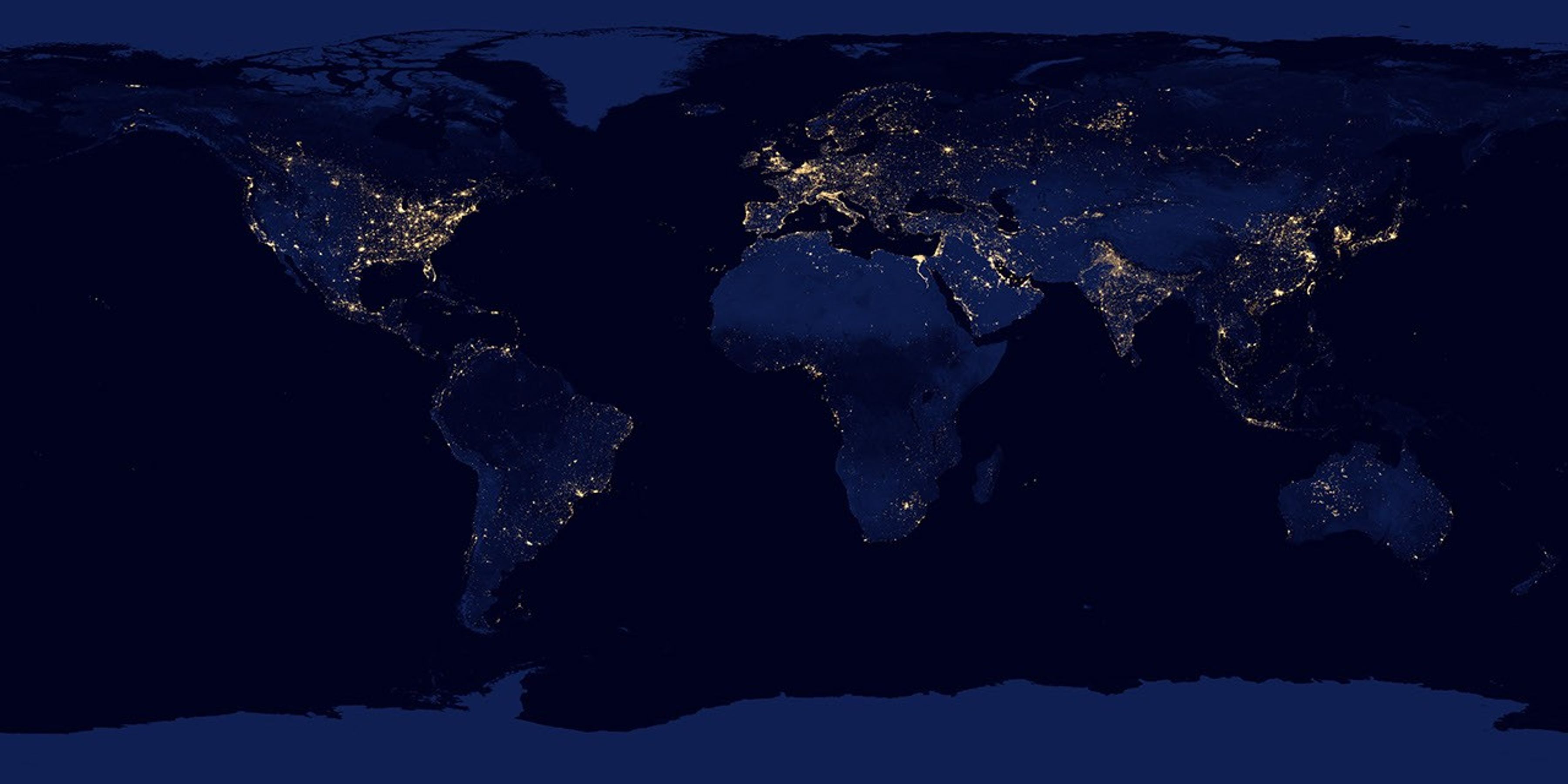
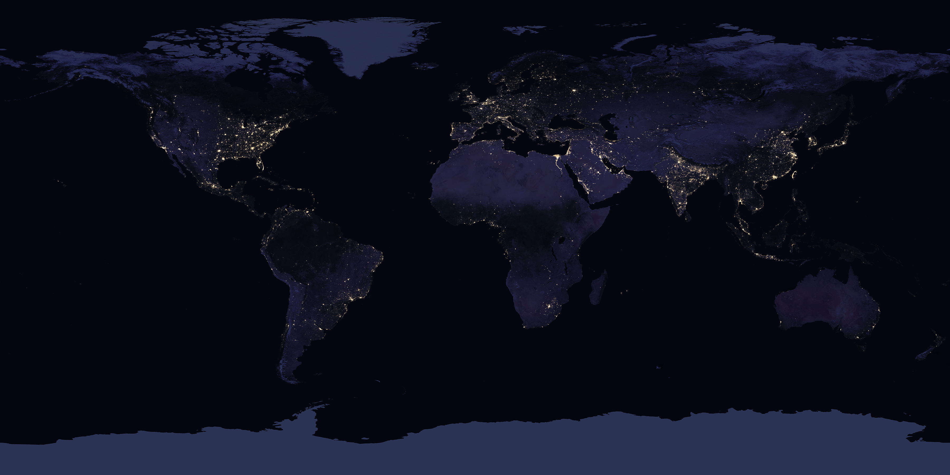
Satellite images of Earth at night—often referred to as “night lights”—have been a curiosity for the public and a tool of fundamental research for at least 25 years. They have provided a broad, beautiful picture, showing how humans have shaped the planet and lit up the darkness. Produced every decade or so, such maps have spawned hundreds of pop-culture uses and dozens of economic, social science, and environmental research projects.
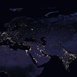
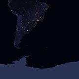
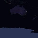
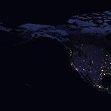
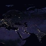
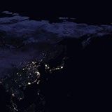
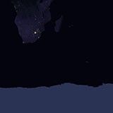
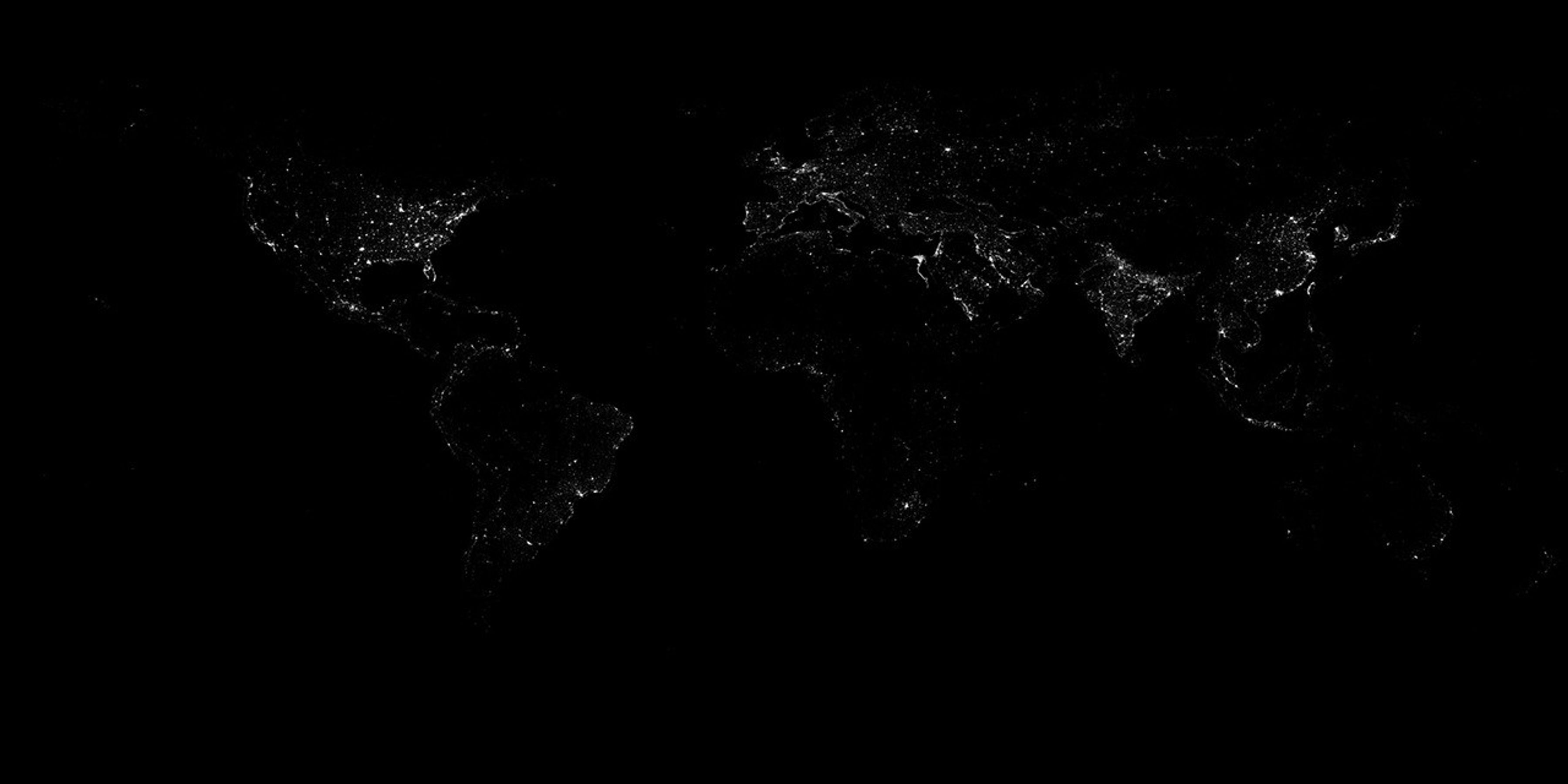
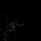
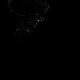
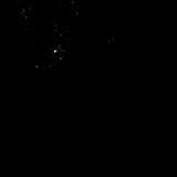
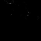
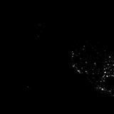
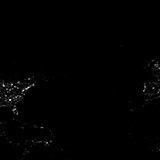
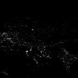
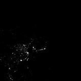
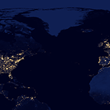
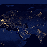
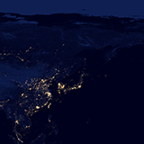
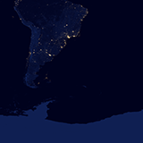
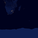
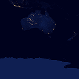
These images show Earth’s night lights as observed in 2016. The data were reprocessed with new compositing techniques that select the best cloud-free nights in each month over each land mass.
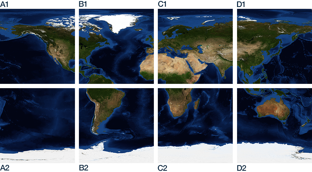
The images are available as JPEG and GeoTIFF, in three different resolutions: 0.1 degrees (3600x1800), 3km (13500x6750), and 500m (86400x43200). The 500m global map is divided into tiles (21600x21600) according to the gridding scheme illustrated below:
Read more about these data and the processing used to produce the imagery:
- Night Light Maps Open Up New Applications
- Out of the Blue and Into the Black: New Views of the Earth at Night
2016 Color
Global
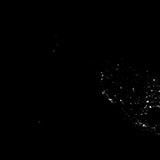
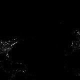
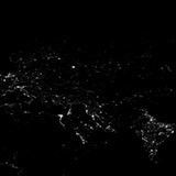
Full Resolution (500m), tiled
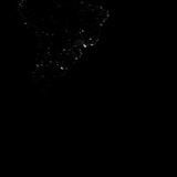
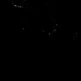
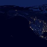
| A1 (GeoTiff | JPEG) | B1 (GeoTiff | JPEG) | C1 (GeoTiff | JPEG) | D1 (GeoTiff | JPEG) |
 |  |  |  |
 |  |  |  |
| A2 (GeoTiff | JPEG) | B2 (GeoTiff | JPEG) | C2 (GeoTiff | JPEG) | D2 (GeoTiff | JPEG) |
2012 Color
Global
Full Resolution (500m), tiled
| A1 (GeoTiff | JPEG) | B1 (GeoTiff | JPEG) | C1 (GeoTiff | JPEG) | D1 (GeoTiff | JPEG) |
 |  |  |  |
 |  |  |  |
| A2 (GeoTiff | JPEG) | B2 (GeoTiff | JPEG) | C2 (GeoTiff | JPEG) | D2 (GeoTiff | JPEG) |
2016 Grayscale
Global
Full Resolution (500m), tiled
| A1 (GeoTiff | JPEG) | B1 (GeoTiff | JPEG) | C1 (GeoTiff | JPEG) | D1 (GeoTiff | JPEG) |
 |  |  |  |
 |  |  |  |
| A2 (GeoTiff | JPEG) | B2 (GeoTiff | JPEG) | C2 (GeoTiff | JPEG) | D2 (GeoTiff | JPEG) |
2012 Grayscale

Global
Full Resolution (500m), tiled
| A1 (GeoTiff | JPEG) | B1 (GeoTiff | JPEG) | C1 (GeoTiff | JPEG) | D1 (GeoTiff | JPEG) |
 |  |  |  |
 |  |  |  |
| A2 (GeoTiff | JPEG) | B2 (GeoTiff | JPEG) | C2 (GeoTiff | JPEG) | D2 (GeoTiff | JPEG) |
2012 Color, Original 2012 processing


