


Earth Observatory
NASA's Earth Observatory brings you the Earth, every day – the images, stories, and discoveries about the environment, Earth systems, and climate that emerge from NASA research.
Image of the Day

Spring Rains Saturate Michigan
3 min read
Above-normal precipitation has swollen rivers and damaged infrastructure statewide.
Apr 17, 2026

Eyeing the Richat Structure
3 min read
The circular geologic feature in northwestern Africa can be hard to recognize from the ground, but it is obvious when…
Apr 16, 2026

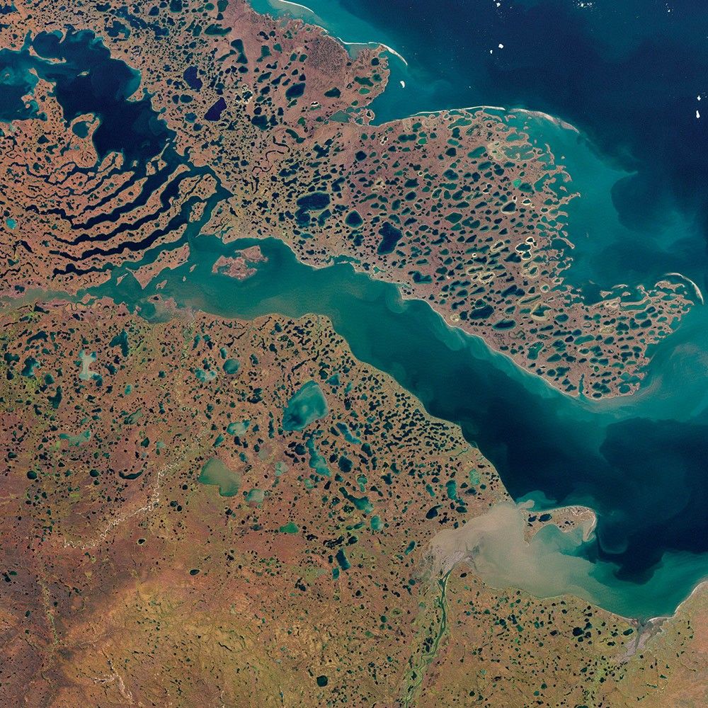
Contours of the James Bay Lowlands
3 min read
After the Laurentide Ice Sheet retreated from present-day Hudson Bay, rebounding land has revealed striking nearshore topography.
Apr 15, 2026
April 2026 Satellite Puzzler
Your challenge is to tell us the location of the satellite image and why it is interesting.
Can you guess the location? about April 2026 Satellite Puzzler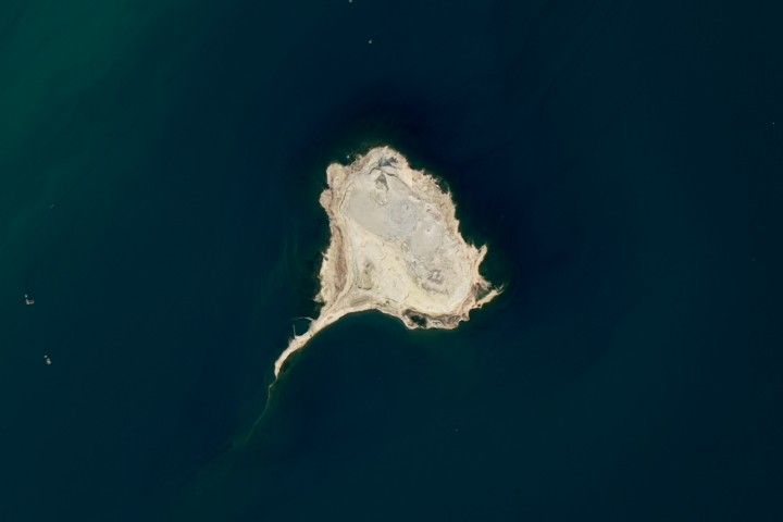

Get the Earth Observatory in your Inbox
Subscribe to our newsletters
We will never share your email address.