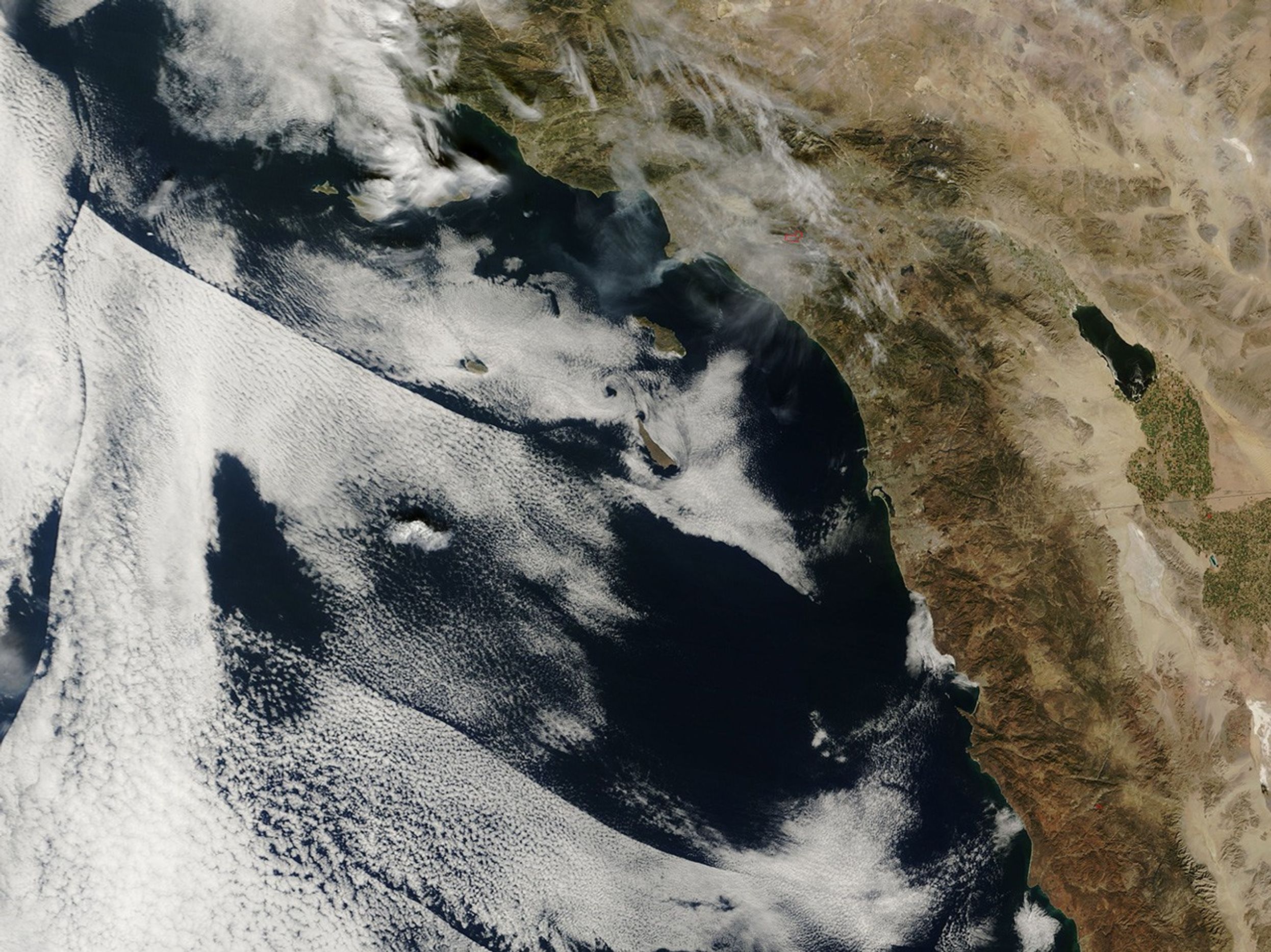
Smoke from a forest fire in Cleveland National Forest pooled over Los Angeles, California, on February 6, 2006, when the Moderate Resolution Imaging Spectroradiometer (MODIS) on NASA’s Terra satellite passed overhead and captured this image. The actively burning part of the fire that MODIS detected is outlined in red, and gray-brown smoke swirls over the city and spreads out over the Pacific Ocean at image left. According to a Reuters report, hundreds of people were forced to evacuate their homes as the wind-whipped fire spread rapidly.
This image is shown at MODIS’ maximum spatial resolution (level of detail) of 250 meters per pixel. The larger image shows a wider region. The MODIS Rapid Response Team provides additional images of this area on a daily basis.
References & Resources
NASA image courtesy the MODIS Rapid Response Team, Goddard Space Flight Center