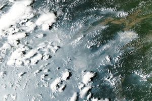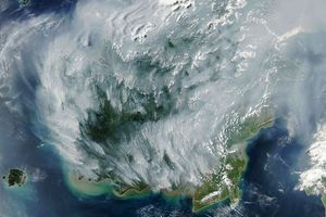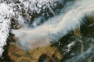


Scattered fires in the heart of the Amazon are visible as red dots in this satellite image. The image was acquired on August 11, 2005, by the Moderate Resolution Imaging Spectroradiometer (MODIS) aboard NASA’s Aqua satellite. Brown deforested areas—farms created by intentional burning— cluster around the small towns of Tarauacá and Feijó. Smoke from additional fires obscures the eastern edge of the image. During the same period an even larger number of fires was raging along the southwestern boundary of the Amazon.
Brazilian and American scientists use NASA satellite data to detect deforestation across the Amazon. As this image shows, fire is one tool used to clear land.
References & Resources
NASA image courtesy the MODIS Rapid Response Team, Goddard Space Flight Center