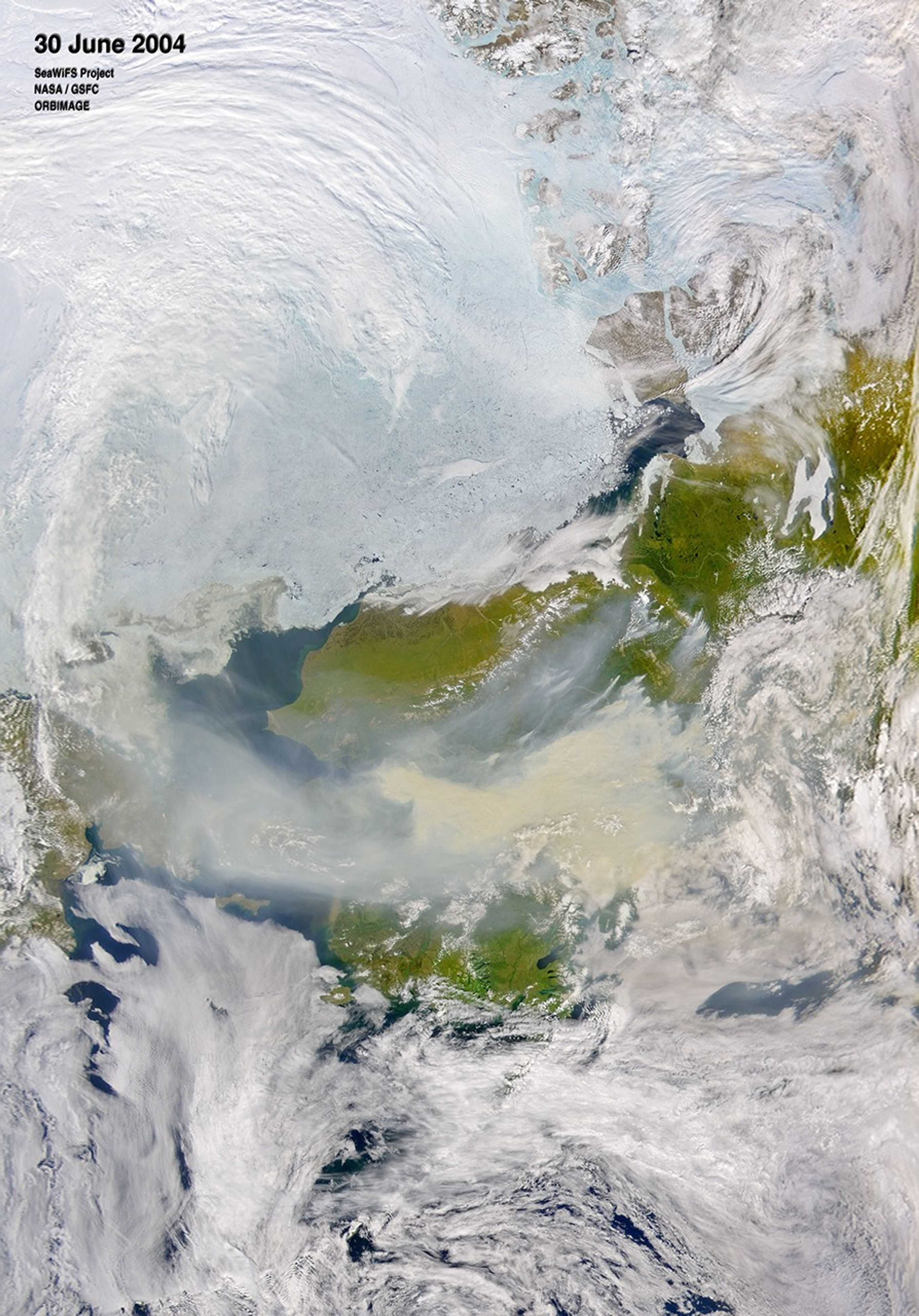

Thick smoke covered much of central Alaska on June 30, 2004, when the Sea-viewing Wide Field-of-view Sensor (SeaWiFS) on the Orbview-2 satellite captured this image. The tan smoke is being swept west over the Bering Strait and into Russia. The United States Environmental Protection Agency issued an air quality alert for over 80,000 people in Alaska’s interior, north of the Alaskan range. In the center of the affected region is the city of Fairbanks, where the air quality has received a “hazardous” rating—the most serious level on the EPA’s six point air quality index. At such levels, visibilities are one-half mile or less, and residents are urged to remain indoors. For more information, please visit the EPA’s AIRNow site.
References & Resources
Image courtesy the SeaWiFS Project, NASA/Goddard Space Flight Center, and ORBIMAGE