


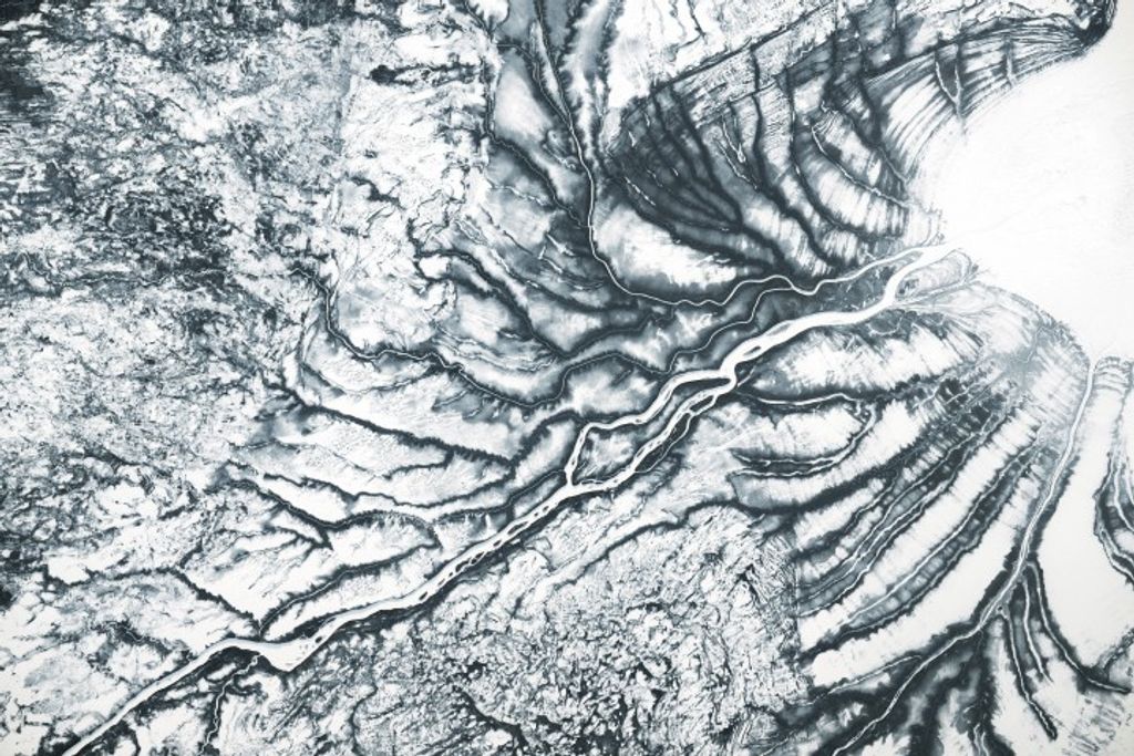


In the Alberta (left), Saskatchewan (center), and Manitoba (right) provinces of Canada, several prairie fires were burning on May 20, 2002. This image, including fire detections (red outlines), was made by the Moderate Resolution Imaging Spectroradiometer (MODIS). In Alberta, at upper left of the image, it appears that fires are also burning in the boreal forest, the evergreen-dominated forest to the south of the Arctic tundra. Dotted across the landscape are numerous frozen lakes, carved by glaciers millennia ago. The largest lake in the image, at far right, is Lake Winnipeg.
Please note that the high-resolution scene provided here is 500 meters per pixel. For a copy of this scene at the sensor's fullest resolution, visit the MODIS Rapidfire site.
References & Resources
Image courtesy Jacques Descloitres, MODIS Land Rapid Response Team at NASA GSFC


