


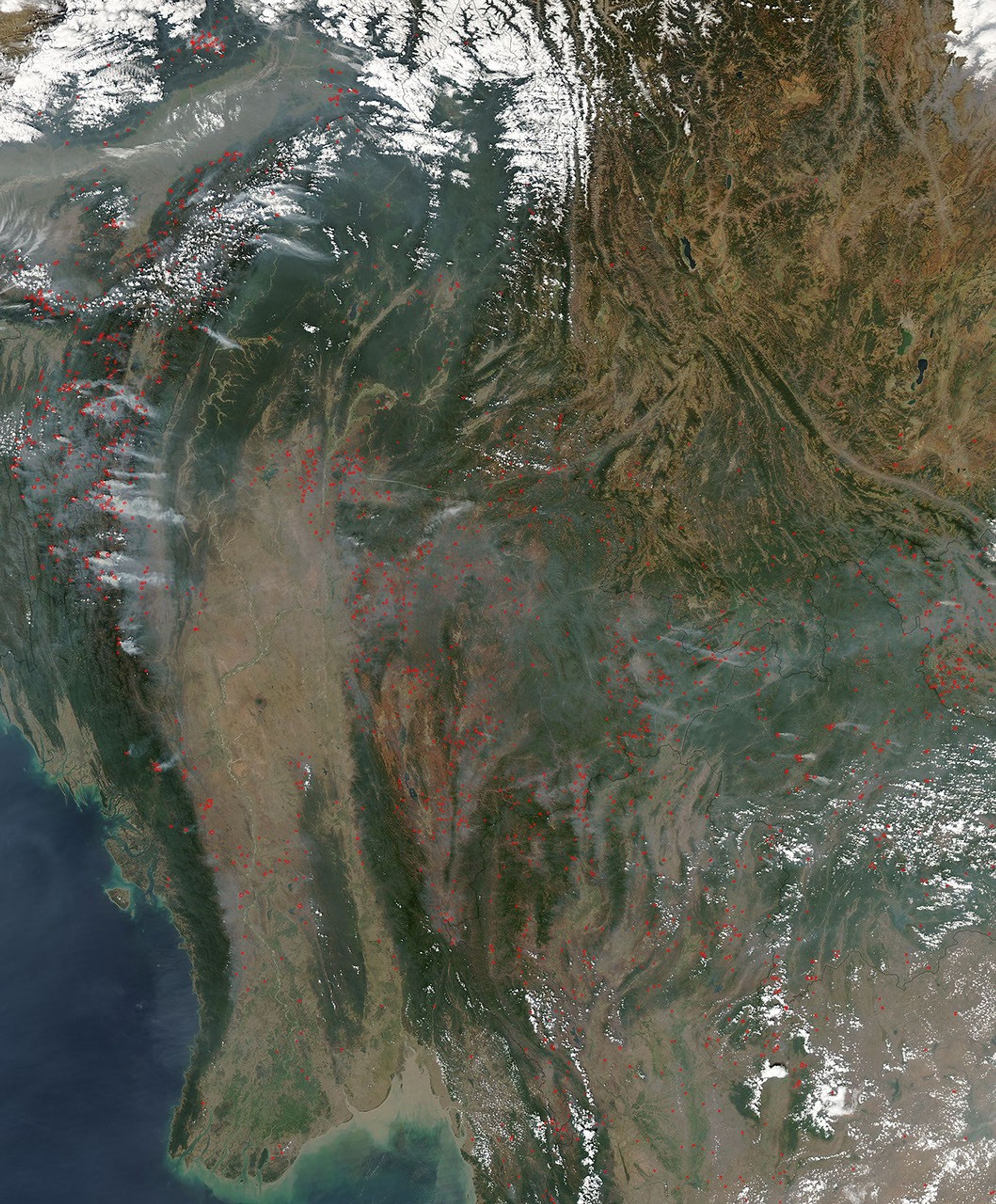
Across several countries in southeast Asia, the Moderate Resolution Imaging Spectroradiometer (MODIS) on NASA’s Aqua satellite detected hundreds of fires (marked in red) when it captured this image on March 10, 2006. Fires stretch across India, Myanmar, Thailand, China, Laos, and Vietnam. At this time of year, the majority of the fires are probably agricultural fires that people set to clear and renew land for farming and grazing of livestock. Although such fires are not necessarily immediately hazardous, they can have a big influence on public health, natural resources, and climate.
The high-resolution image provided above has a spatial resolution of 500 meters per pixel. The MODIS Rapid Response System provides this image at additional resolutions.
References & Resources
NASA image by Jeff Schmaltz, MODIS Rapid Response Team, Goddard Space Flight Center.


