Suggested Searches

1 min read

Fires in Southern United States

Instruments:
Topics:
2003-10-21 00:00:00
October 21, 2003

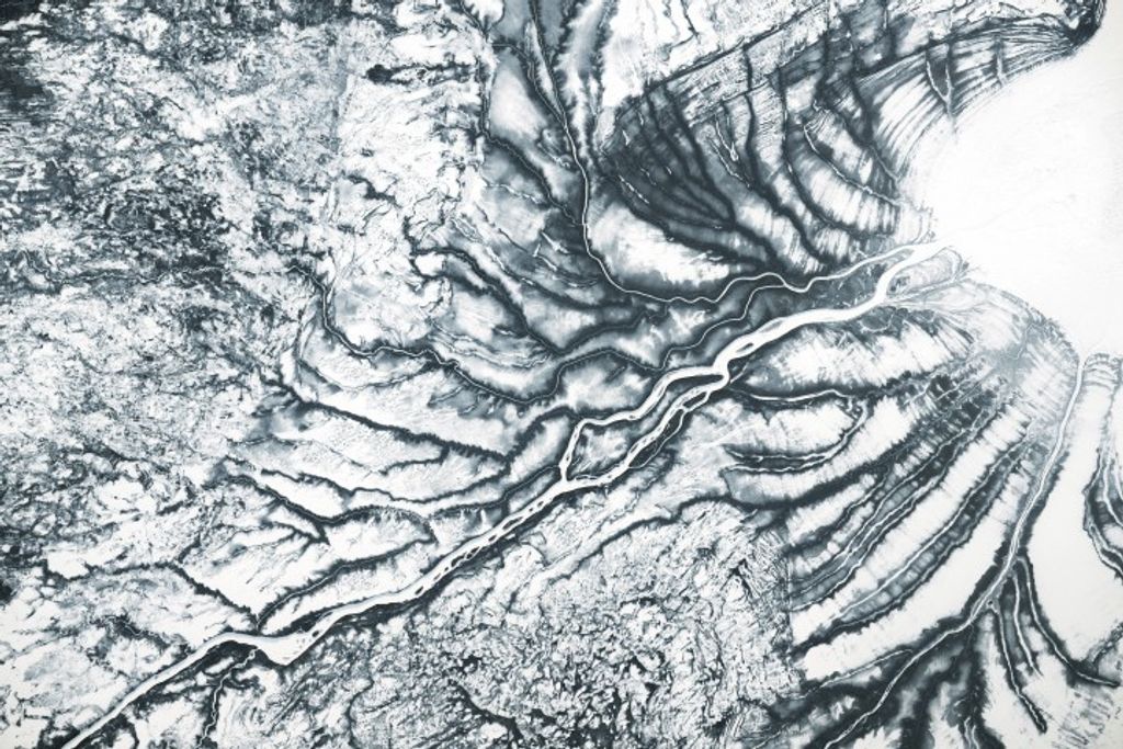
Even if the vegetation doesn’t give much hint of the turning of the seasons, the number of fires spread across the southern U.S. is its own indication of fall. Land managers often conduct prescribed burns in fall, and the majority of the ones marked in red in this Moderate Resolution Imaging Spectroradiometer (MODIS) image from the Terra satellite on October 21, 2003, are likely that type of fire.

The high-resolution image provided above is 500 meters per pixel. The MODIS Rapid Response System provides this image at MODIS’ maximum spatial resolution of 250 meters.

References & Resources

Image courtesy Jacques Descloitres, MODIS Rapid Response Team at NASA GSFC

You may also be interested in:

Stay up-to-date with the latest content from NASA as we explore the universe and discover more about our home planet.

Monroe Canyon Fire Intensifies
3 min read

The blaze in central Utah experienced rapid growth during dry, windy days in late July 2025, creating hazy skies throughout…

Article
Sprawling Gifford Fire Scorches California
3 min read

The fast-growing blaze charred more than 100,000 acres in the span of a week.

Article
B.C. Wildfires Send Smoke Skyward
2 min read

Lightning likely ignited several large fires that sent smoke pouring over the Canadian province in early September 2025.

Article