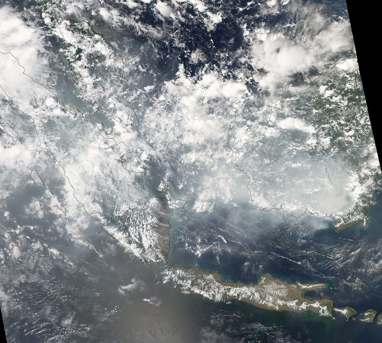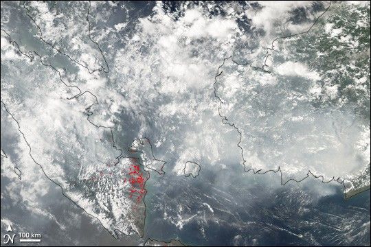
Throughout October 2006, fires burned across large areas of Sumatra (left) and Borneo (right). Thick smoke from burning forest and peat—thick layers of dead vegetation that pile up in swampy areas—hung over the region for weeks, spreading northward to Southeast Asia on several occasions. This image from the Moderate Resolution Imaging Spectroradiometer (MODIS) on NASA’s Aqua satellite on October 23 shows places where MODIS detected actively burning fires marked in red. Fires are densely concentrated in southeastern Sumatra. Whether the fires on Borneo were extinguished or whether the smoke was simply too thick for the sensor to detect the “hotspot” signatures of the fires is unknown. The grayish smoke mingles with bright white cloud. Other images of this month-long event can be found in the Natural Hazards events Fires on Borneo and Sumatra and Fires in Borneo.
A 250-meter-resolution KMZ file of the Sumatra fires is available for use with Google Earth.
References & Resources
NASA image created by Jesse Allen, Earth Observatory, using data provided courtesy of the MODIS Rapid Response team.