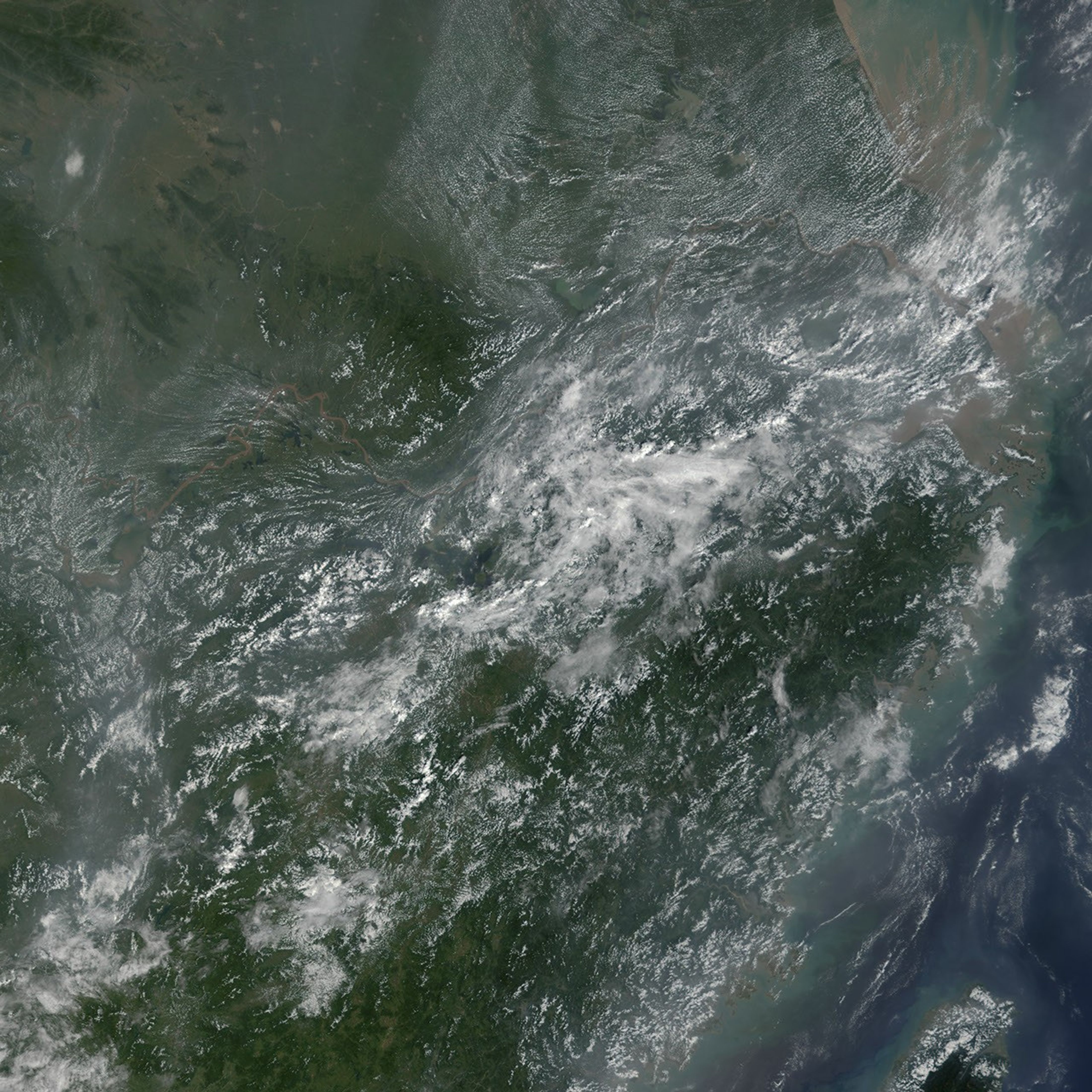
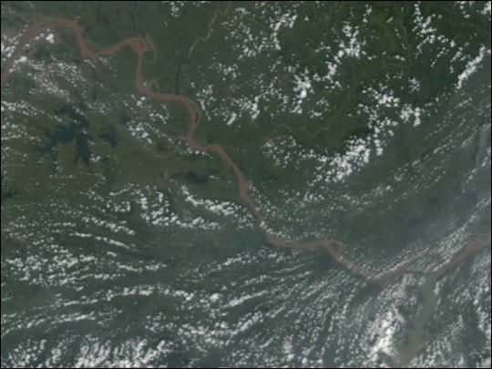
During the summer of 2002, frequent, heavy rains gave rise to floods and landslides throughout China that have killed over 1,200 people and affected millions. This true-color image of the Yangtze River in central China was acquired on August 28, 2002, by the Moderate-resolution Imaging Spectroradiometer (MODIS), flying aboard NASA’s Terra spacecraft (right).
The latest round of floods began west of this image where heavy rains caused portions of the Yangtze and the Dongting Lake to swell above their banks. The floodwaters receded to the east and made there way downstream. As of August 28, the flood crest had moved through the town of Wuhan, located along the river at the upper left-hand corner of the image, and it was making its way toward the city of Jiujiang, located at the lower right-hand corner of the image.
References & Resources
Image by Jesse Allen, based on data from the MODIS Rapid Response Team at NASA-GSFC