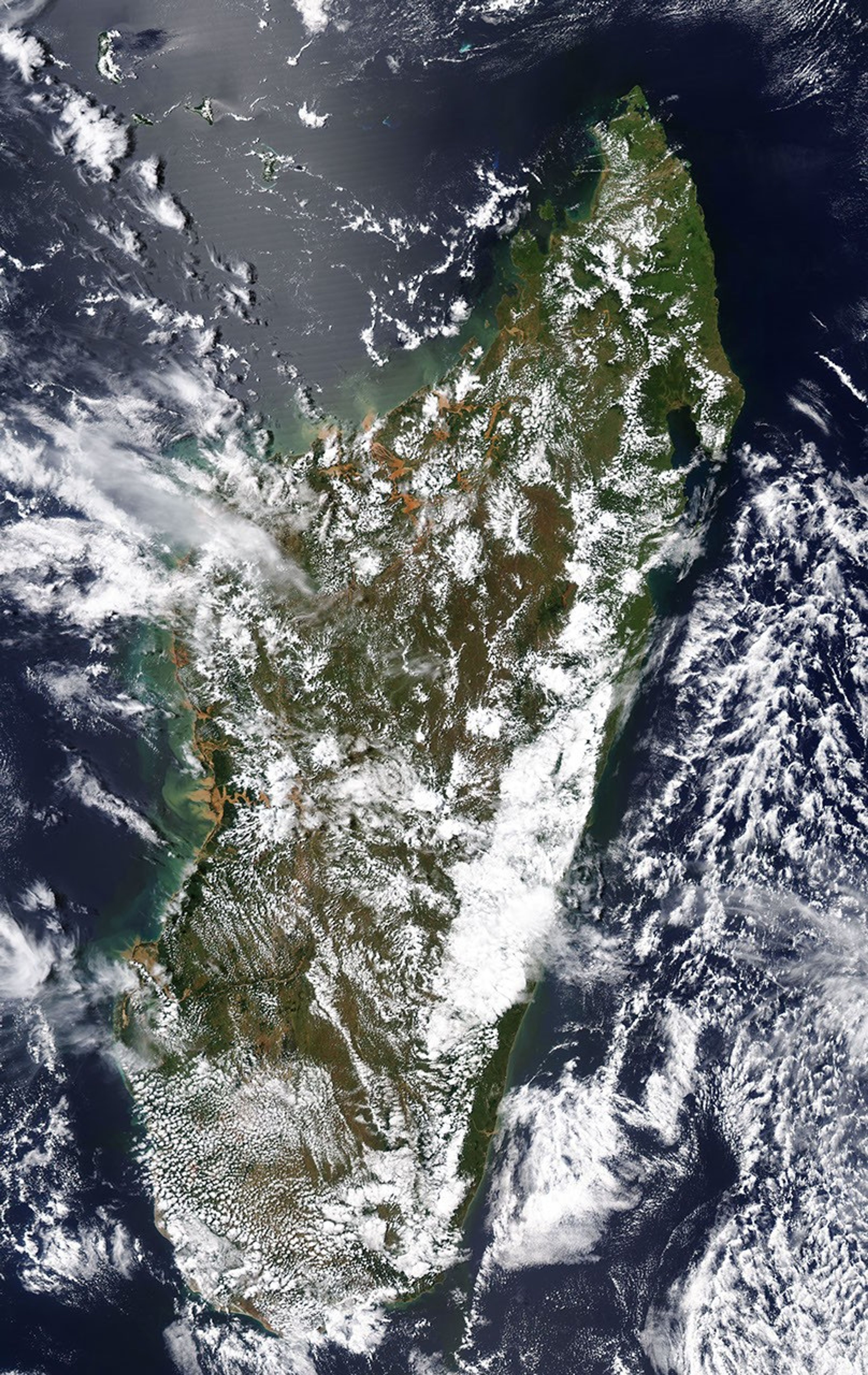
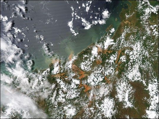
Mud-tainted waters push over river banks into Madagascar’s crop lands and villages in the wake of Tropical Cyclone Gafilo According to the UN Office for the Coordination of Humanitarian Affairs, widespread flooding is causing more damage than Gafilo’s 72 mile-per-hour winds. Flood waters have inundated some of Madagascar’s major rice-growing areas, and the crop is not expected to survive. Other crops, previously damaged by Cyclone Elita in February, are also in bad shape. Another immediate concern is access to fresh water. Many communities rely on shallow wells, which are easily contaminated in such floods. As the flood waters recede, water born diseases such as malaria may also become a significant problem.
This Moderate Resolution Imaging Spectroradiometer (MODIS) image was taken by the Aqua satellite on March 14, 2004, seven days after Gafilo came ashore. The image shows floods along the northwestern coast of the island. The high-resolution image provides a view of flooding on the entire island at MODIS’ maximum resolution of 250 meters per pixel.
References & Resources
Image courtesy Jesse Allen, based on data from the MODIS Rapid Response Team at NASA GSFC