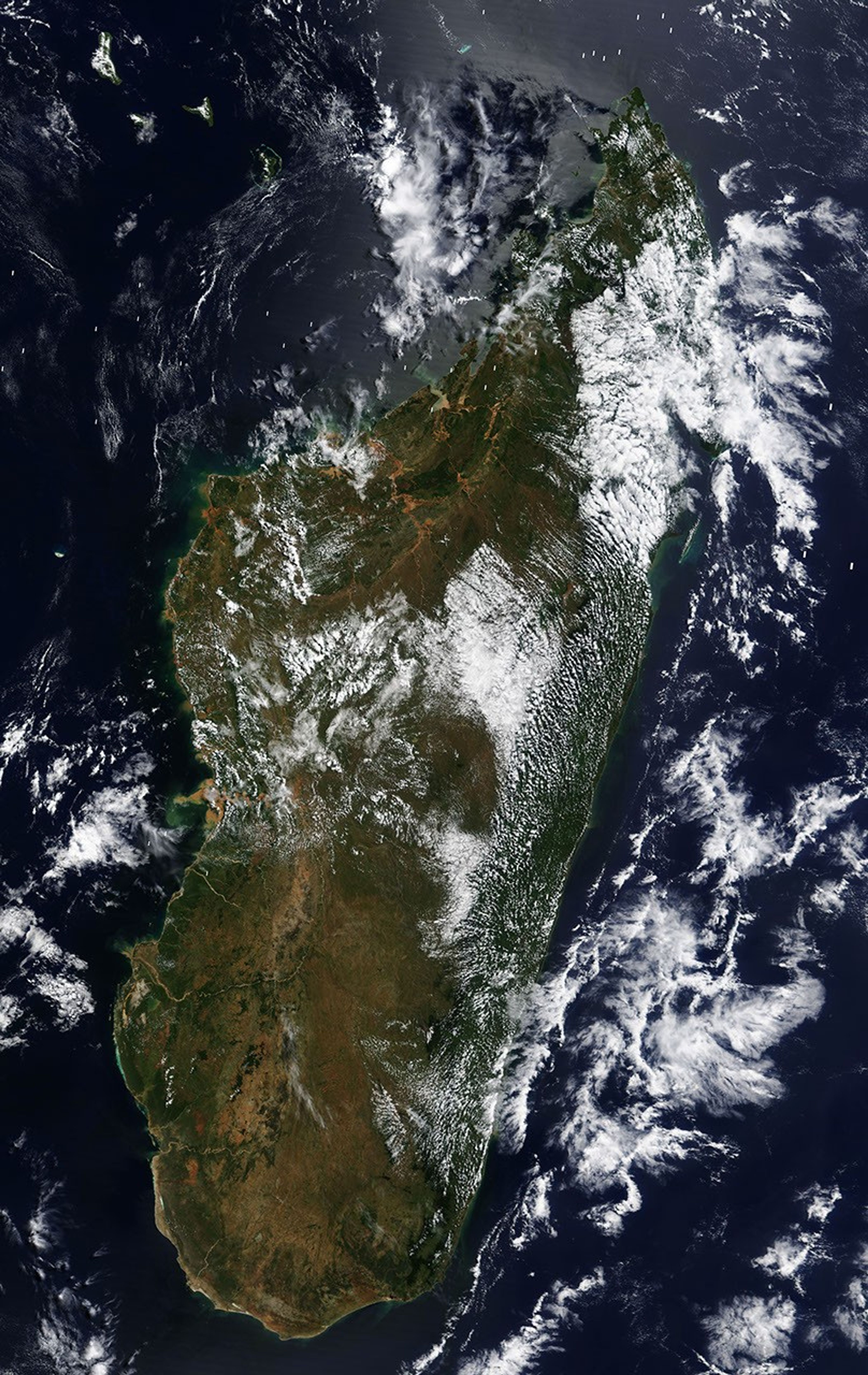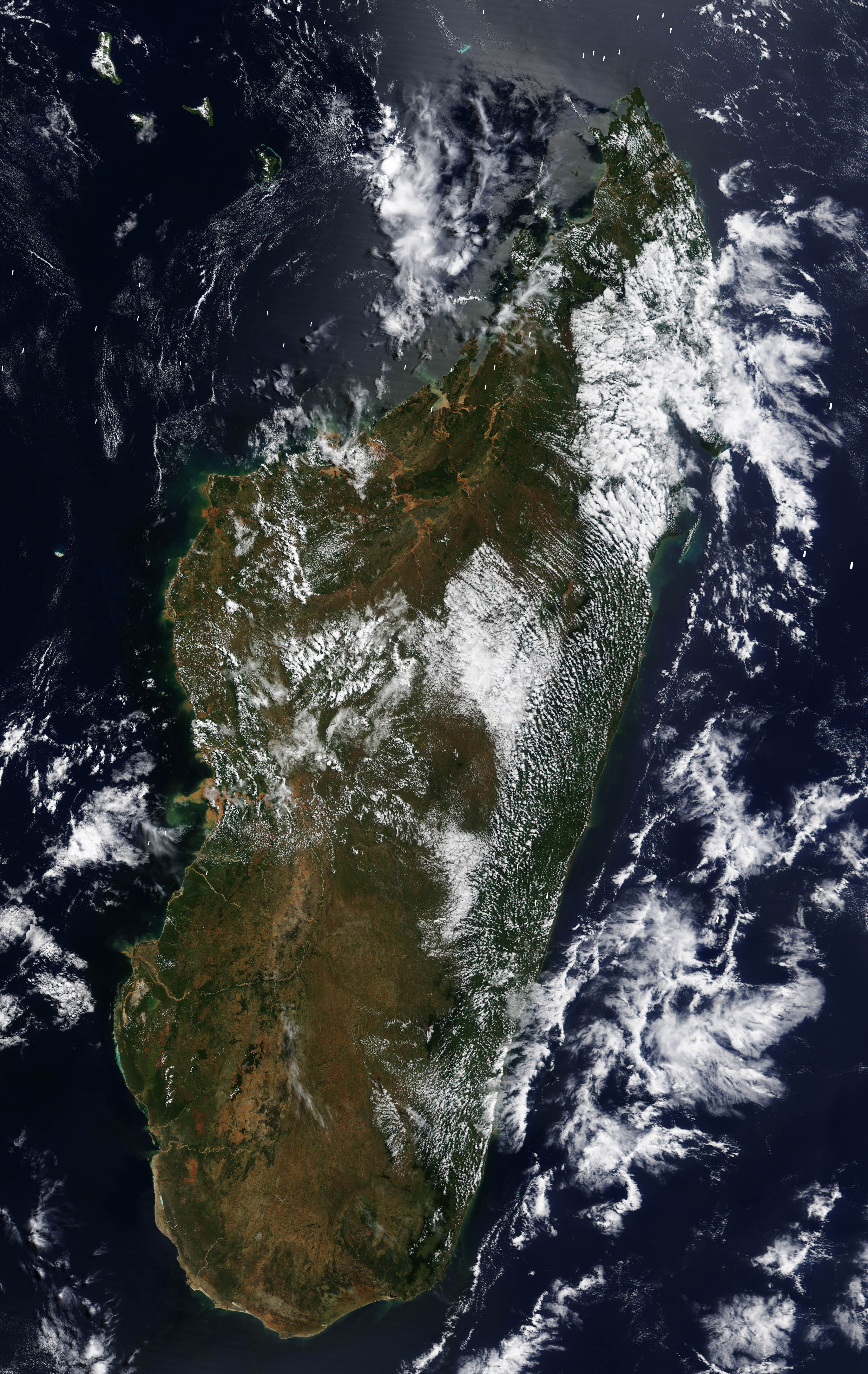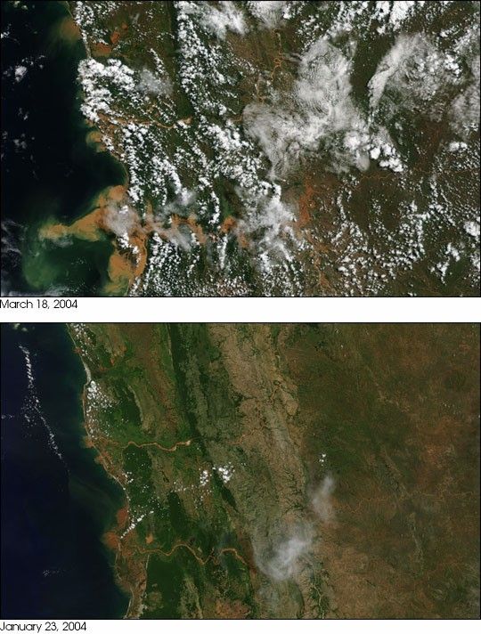
- March 18, 2004 (3.3 Mb JPEG)
- January 23, 2003 (3.9 Mb JPEG)
Floods induced by Tropical Cyclone Gafilo continue to plague Madagascar as water from the highlands pours into the already full rivers along the west coast. The Moderate Resolution Imaging Spectroradiometer (MODIS) on the Terra satellite captured this view of the Mania River on March 18, 2004. The river is dumping a large plume of mud into the Mozambique Channel. It also appears swollen compared to its appearance on January 23, 2004, days before Cyclone Elita came ashore. Elita and Gafilo followed similar paths across the island, leaving the people twice devastated.
In the high-resolution image, additional flooding can be seen all along the coast, particularly in the north. The high-resolution images provided above are at MODIS’ maximum resolution of 250 meters per pixel. The March 18 image contains data bit flip defects, small white strips where the data is missing.
References & Resources
Image courtesy Jesse Allen, based on data from the MODIS Rapid Response Team at NASA GSFC