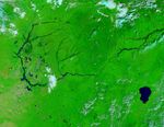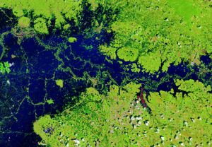
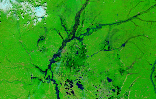
Heavy summer rains pushed the Nen River in Northeastern China over its banks. This false-color Moderate Resolution Imaging Spectroradiometer (MODIS) image shows flooding along the Nen and its tributaries, the Nemor (top right) and the Wuyur (center right). In this image, captured by the Terra satellite on August 26, 2003, standing water appears dark blue or black, and vegetation is bright green. The darker green patch on the right of the Nen River is flooded swamp land. According to the Dartmouth Flood Observatory, the flooding started with heavy rains in late July and persisted through October 10, 2003.
Floods inundated Northern China between mid-July and October 2003. The International Federation of Red Cross and Red Crescent Societies estimated that 100 million people were affected by flooding throughout China. Some of the most severely affected areas were in Shaanxi State along the Yellow River.
The high-resolution image provided above is at MODIS’ maximum resolution of 250 meters per pixel.
References & Resources
Image courtesy Jacques Descloitres, MODIS Rapid Response Team at NASA GSFC