![Request for Information – Potential [Placeholder for Prize]](https://assets.science.nasa.gov/dynamicimage/assets/science/psd/solar/2023/09/s/solarsystem_0.jpg?w=1024)


April 4, 2017
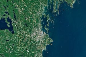
Several weeks of intense rain have triggered severe floods and mudslides in Peru. On April 4, 2017, the Operational Land Imager (OLI) on Landsat 8 captured this image of flood waters near the town of Parachique. More than 180,000 houses throughout the country have been flooded, according to Lutheran World Relief.
References & Resources
- European Commission (2017, March 28) Floods in Peru. Accessed April 7, 2017.
- Inside Climate News (2017, April 6) Peru’s Floods Follow Climate Change’s Deadly Extreme Weather Trend. Accessed April 7, 2017.
- Lutheran World Relief (2017, March 30) Peru Flooding and Mudslides. Accessed April 7, 2017.
- Monitoring of the Andean Amazon Project (2017, March 30) Major Flooding in Northern Peru from Coastal El Niño. Accessed April 7, 2017.
- NASA Earth Observatory (2017, March 23) Flood Waters Inundate Coastal Peru.
NASA Earth Observatory image by Jesse Allen, using Landsat data from the U.S. Geological Survey. Caption by Adam Voiland.