


- October 15, 2003(1.0 Mb JPEG)
- August 2, 2003(1.0 Mb JPEG)
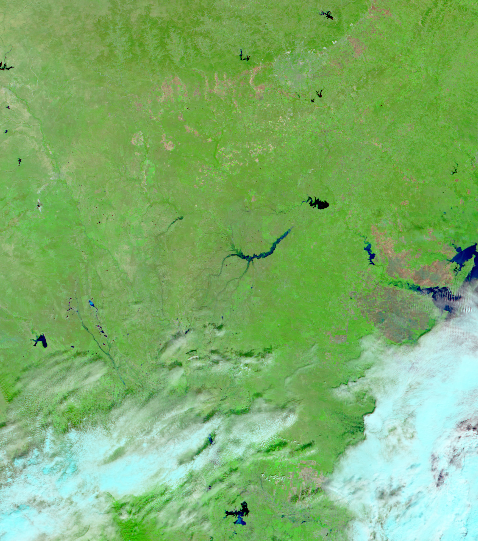
The Moderate Resolution Imaging Spectroradiometer (MODIS) sensor on the Terra satellite detected flooding along the Nueces River just south of San Antonio in Southern Texas on October 15, 2003. Six to ten inches of rain fell in the region over the weekend, pushing the Nueces and Rio Grande rivers over their banks and forcing residents to evacuate. In the false-color image taken before the storm (bottom), the Nueces River and its tributaries are barely visible. In the top image, standing water is dark blue and vegetation is bright green. The National Weather Service expected continued flooding along the Nueces River through October 19.
The high resolution images provided above are at MODIS' maximum spatial resolution of 250 meters per pixel.
References & Resources
Data provided by the MODIS Rapid Response Team at NASA GSFC
None


