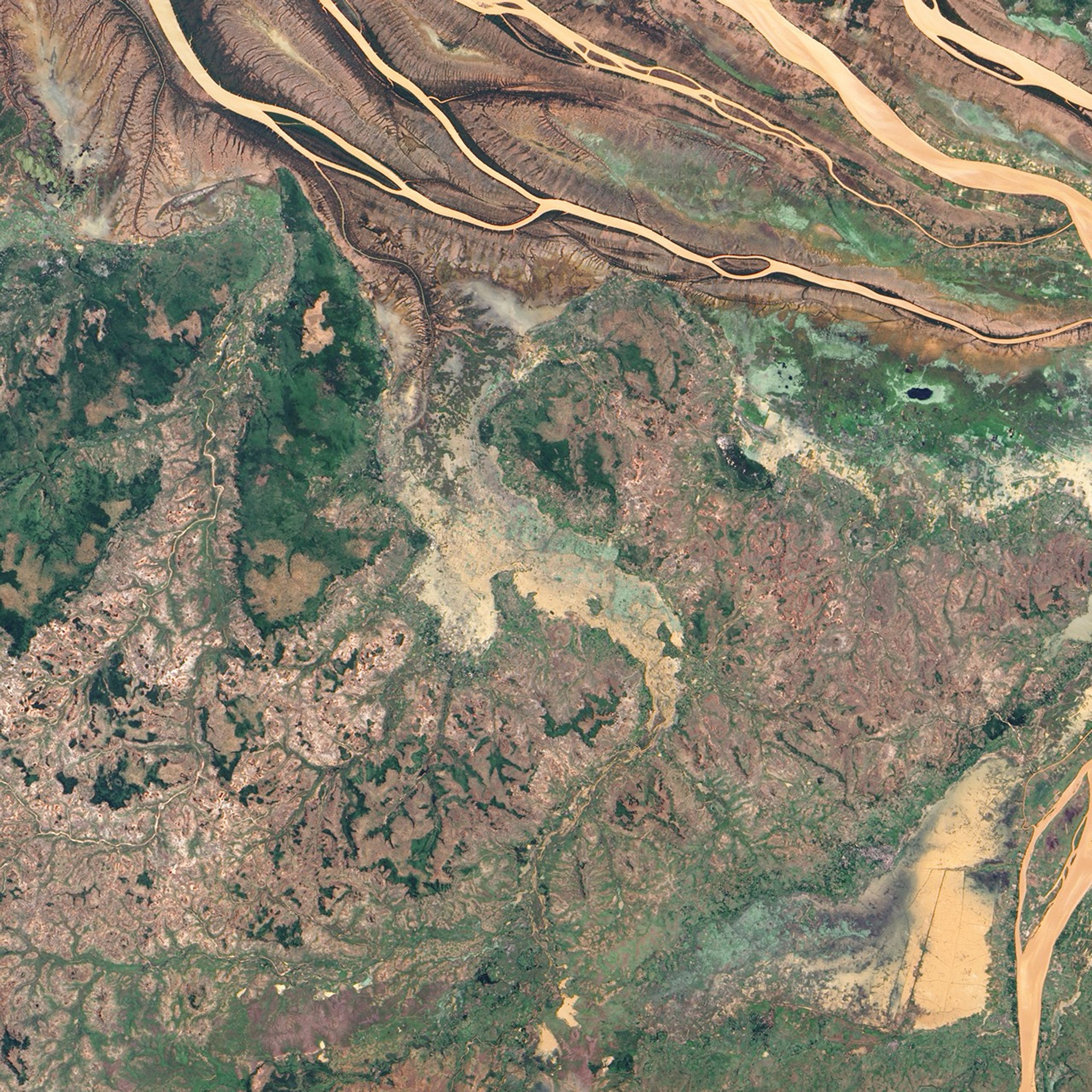

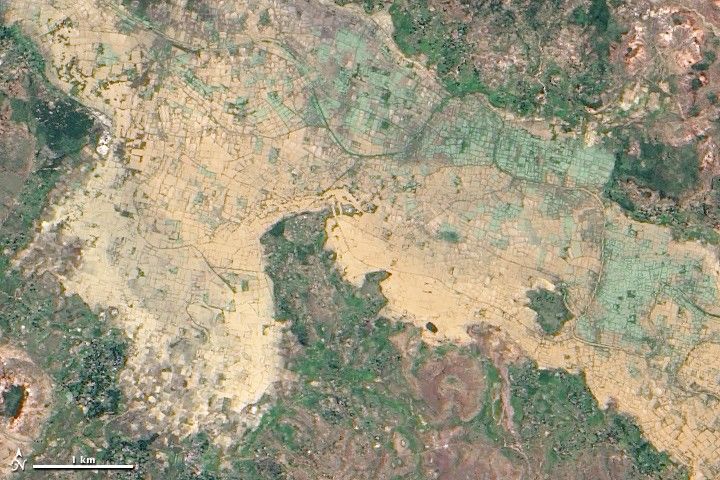
In northwestern Madagascar, the Betsiboka River flows toward the coast, its braided streams emptying into the Bombetoka Bay. In late March 2010, however, not long after Tropical Cyclone Hubert passed through the region, part of the river pushed over its banks, flooding nearby agricultural fields.
The Advanced Land Imager (ALI) on NASA’s Earth Observing-1 (EO-1) satellite captured this natural-color image on March 23, 2010. Immediately south of the Betsiboka River, which is visible in the large image, this area is roughly 40 kilometers (25 miles) from the coast. The wide beige-and-green swath filling most of the image is flooded, and uneven rectangles demarcate individual fields. Only areas of relatively high ground appear to have escaped standing water.
In the days after Tropical Cyclone Hubert made landfall in Madagascar, authorities concluded that at least 36 people had died, and some 85,000 others had been affected, according to a report from Integrated Regional Information Networks. Besides damaging homes and crops, the storm washed away roads, isolating some communities from aid.
References & Resources
- IRIN. (2010, March 15). Madagascar: Struggling to reach cyclone-hit villages. Accessed March 24, 2010.
NASA Earth Observatory image created by Jesse Allen, using EO-1 ALI data provided courtesy of the NASA EO-1 team. Caption by Michon Scott.