March 7, 2005
- March 7, 2005 (2.3 MB)
- February 27, 2005 (1.9 MB)
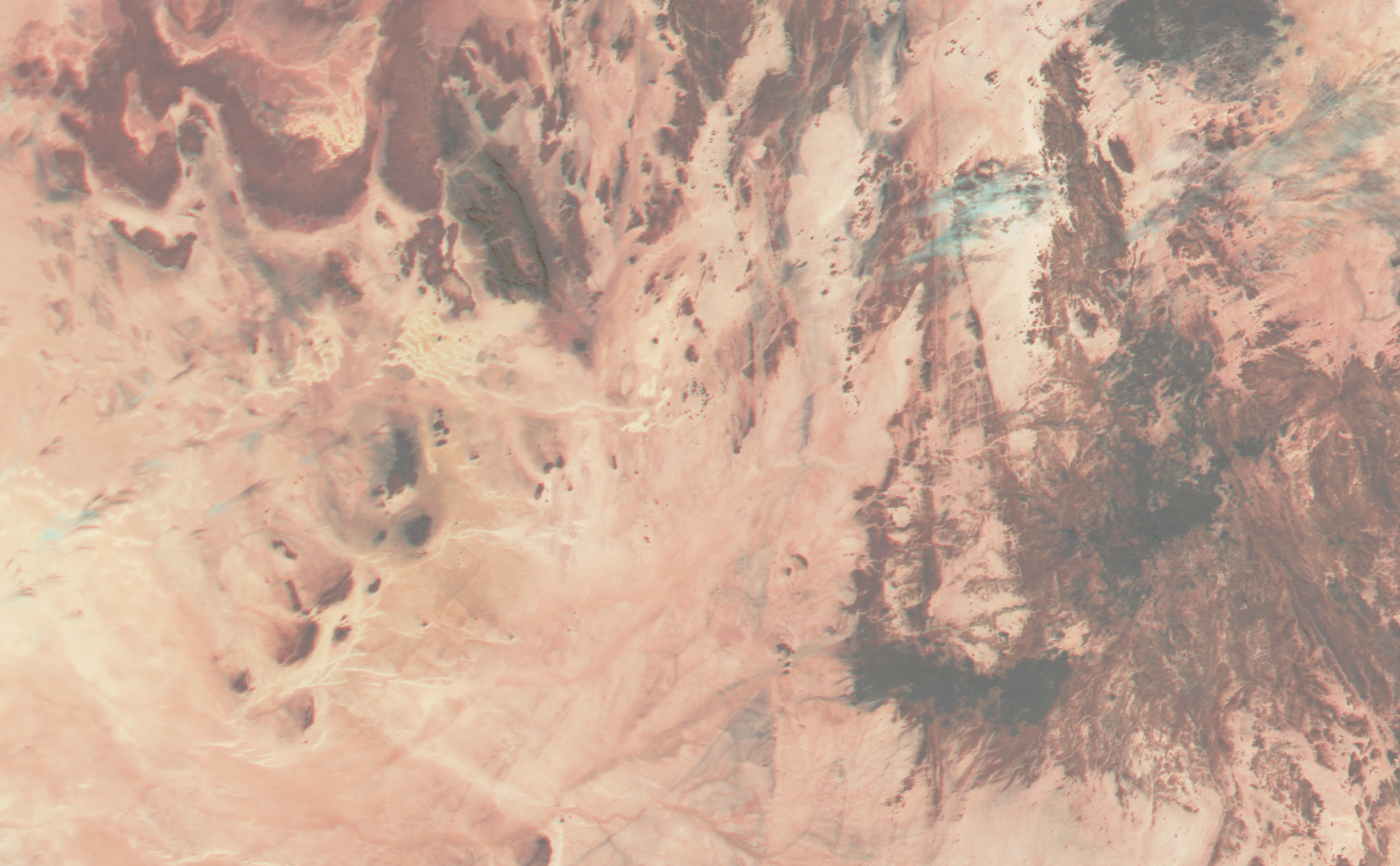
Torrential rain pounded the Sahara desert of southeastern Algeria in early March 2005. The rainwater poured down the dry channels cut into the desert by former floods, washing away buildings and disrupting telephone and power networks. At least three have died in the floods, and nine others are missing. The water-filled wadis formed blue-green lines through the desert on March 7, when the Moderate Resolution Imaging Spectroradiometer (MODIS) captured the top image. In both the upper image and the lower image, which has been provided for comparison, clouds are light blue and bare desert soil is tan with a slight pink tint.
References & Resources
NASA images created by Jesse Allen, Earth Observatory, using data obtained from the Goddard Earth Sciences DAAC.