


- September 9, 2007 (1.47 MB JPG)
- August 9, 2007 (1.64 MB JPG)
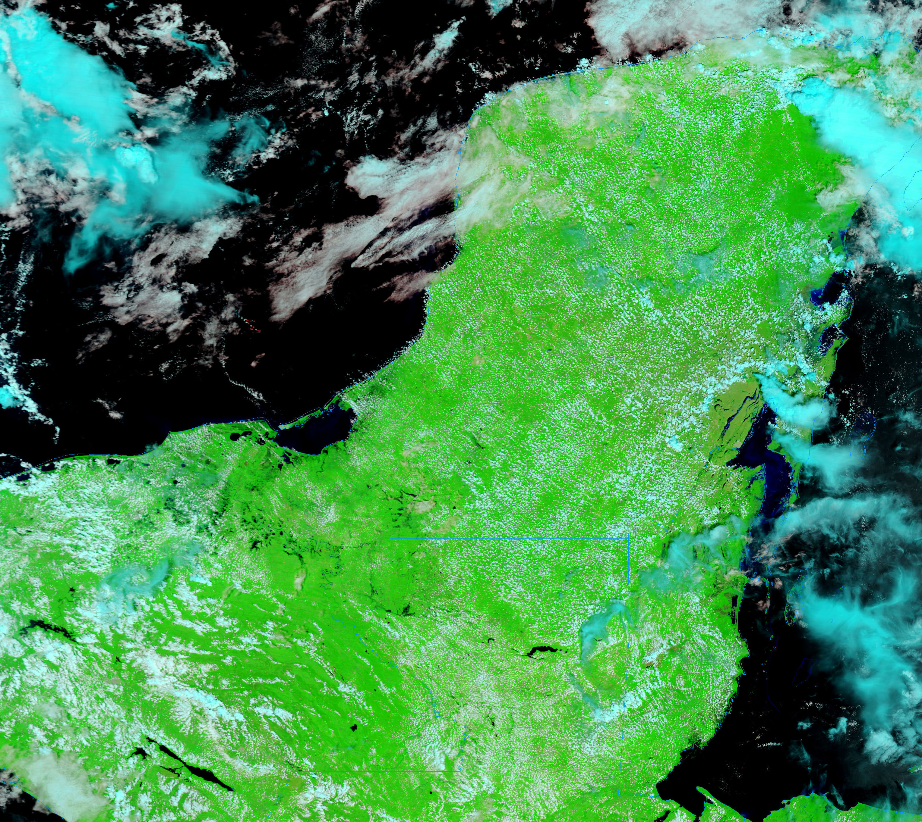
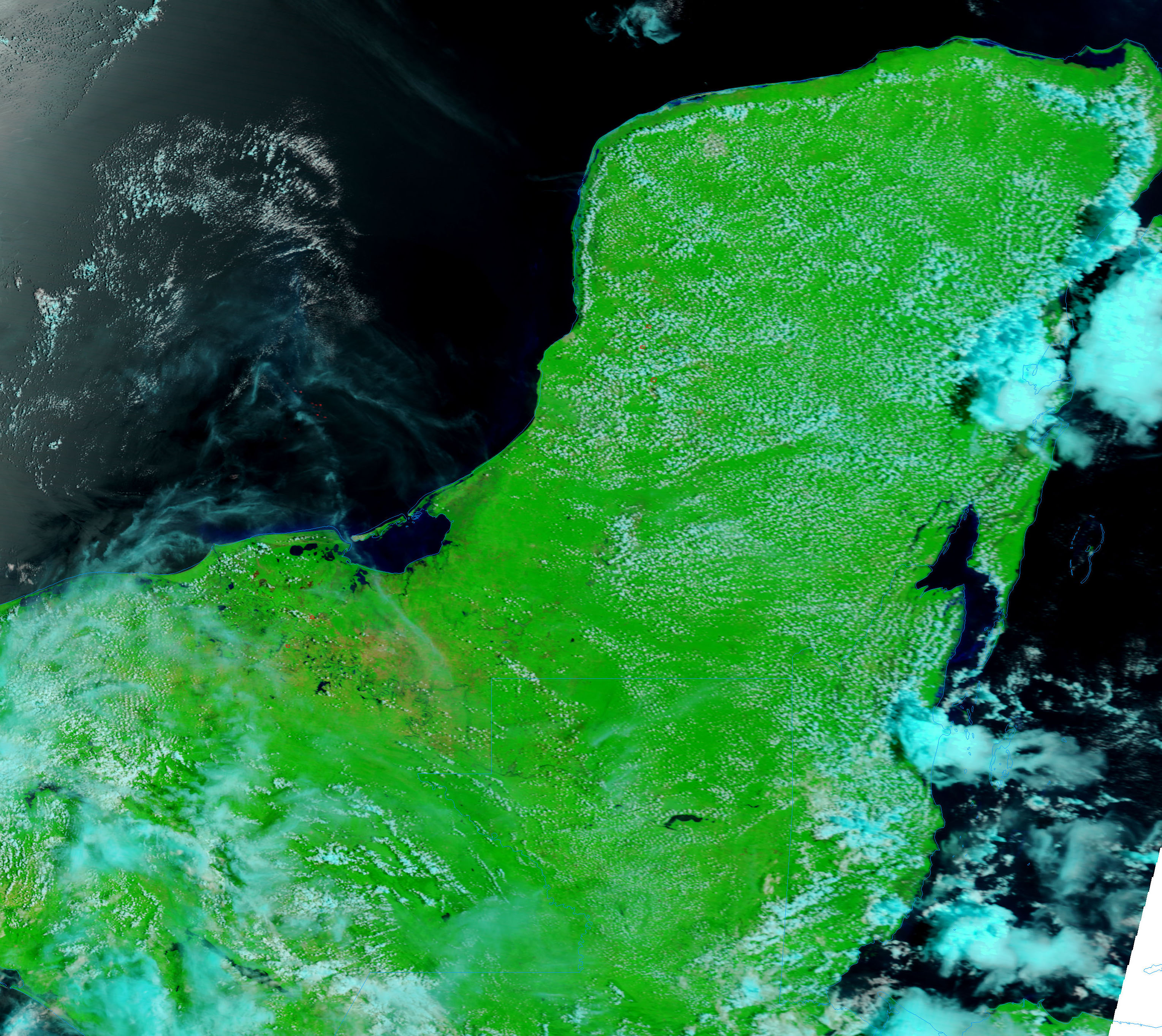
By the time Hurricane Felix had reached Guatemala and southern Mexico on its trek north over Central America, the storm’s powerful winds had subsided. The storm system instead brought soaking rain to the region, which was still soggy after being drenched by Hurricane Dean two weeks earlier. When the clouds cleared on September 9, 2007, the Moderate Resolution Imaging Spectroradiometer (MODIS) on NASA’s Terra satellite captured the left image of flooded rivers and wetlands in Mexico and Guatemala.
Made with infrared and visible light to highlight the presence of water on the ground, the image shows water as black against a backdrop of bright green plant-covered land. Compared to a similar image taken on August 9 (right), the image reveals that far more water was on the ground on September 9. The San Pedro and Candelaria Rivers were swollen, as were several smaller waterways in the region. A photo-like version of the images is available from the MODIS Rapid Response System.
References & Resources
NASA images courtesy the MODIS Rapid Response Team at NASA GSFC.


